2024 Peru Creek Visit
- Friday July 19 2024
- travel colorado
- Series: 2024-colorado
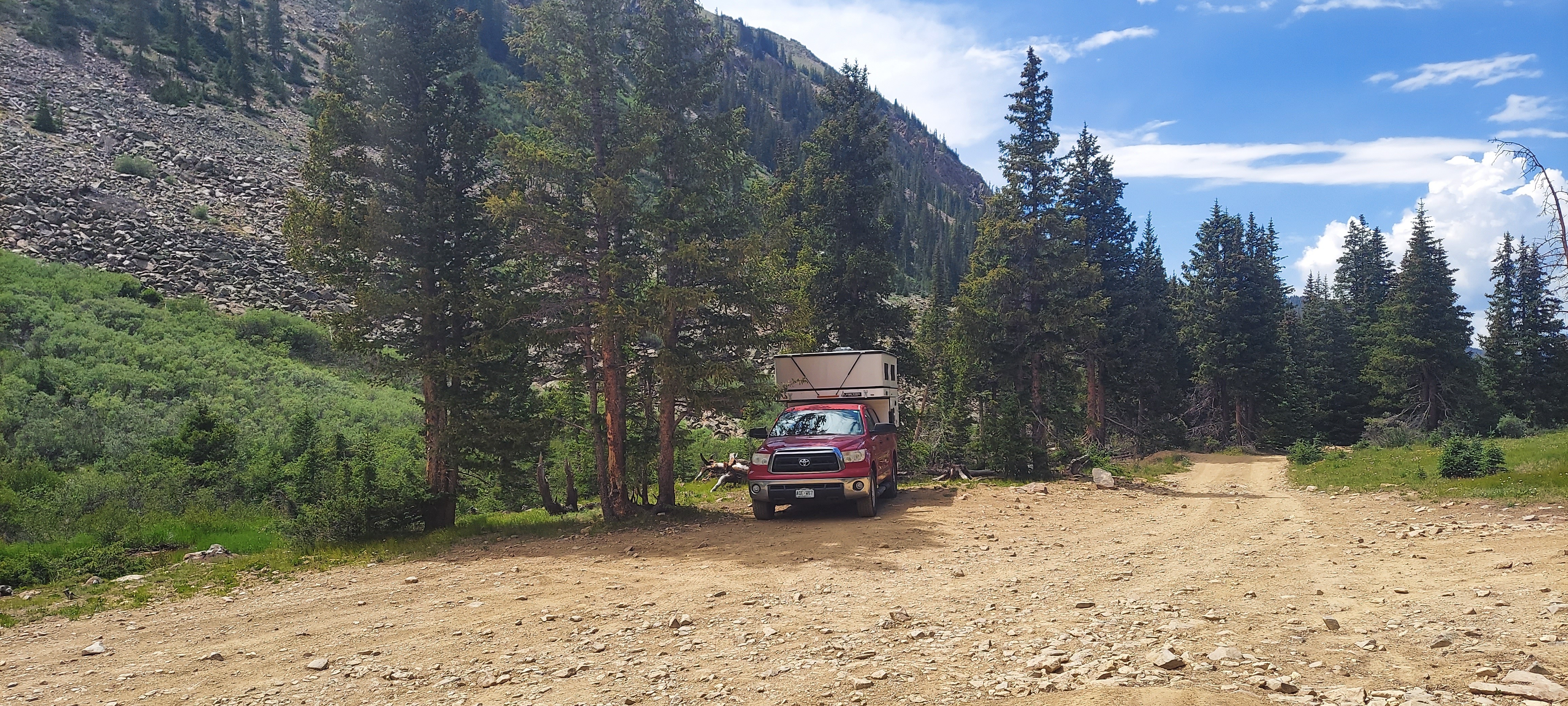
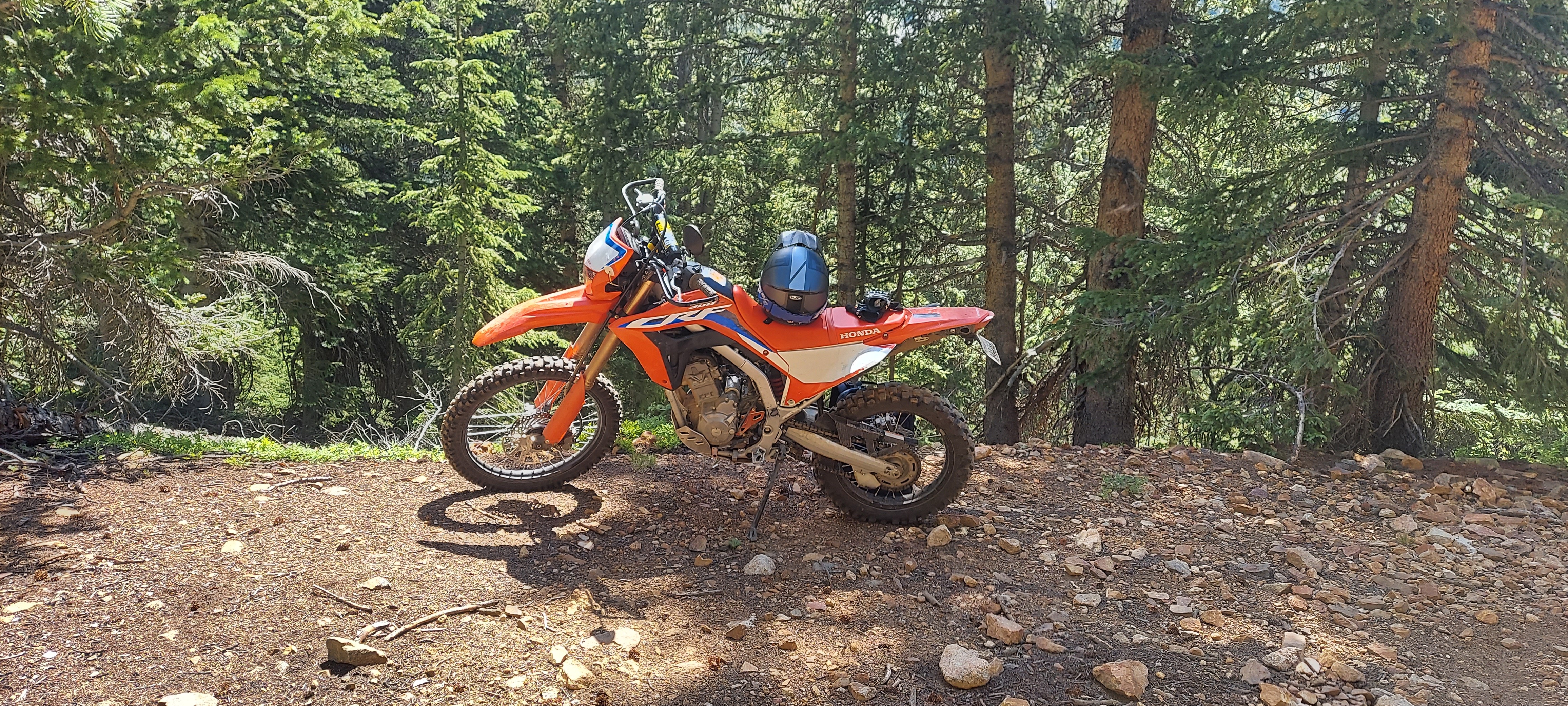
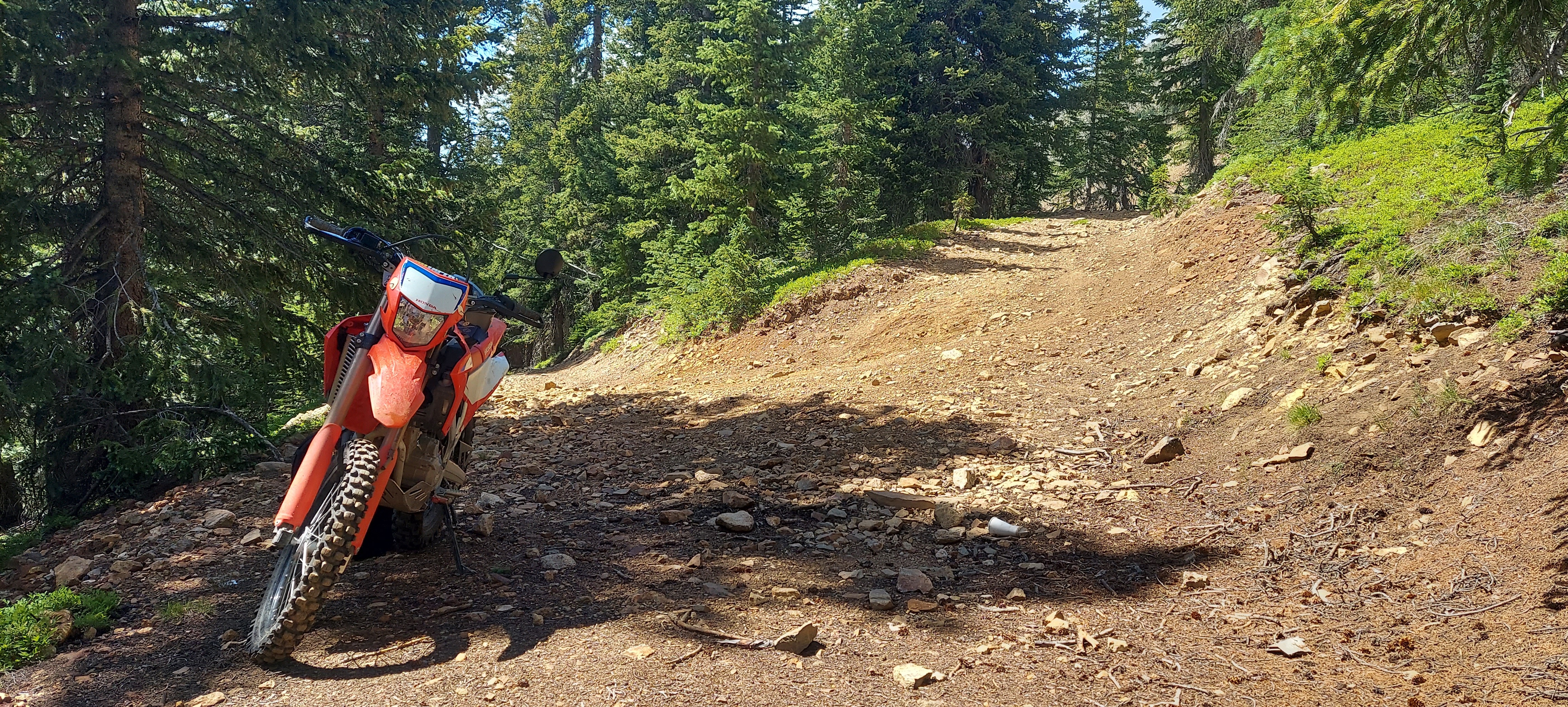
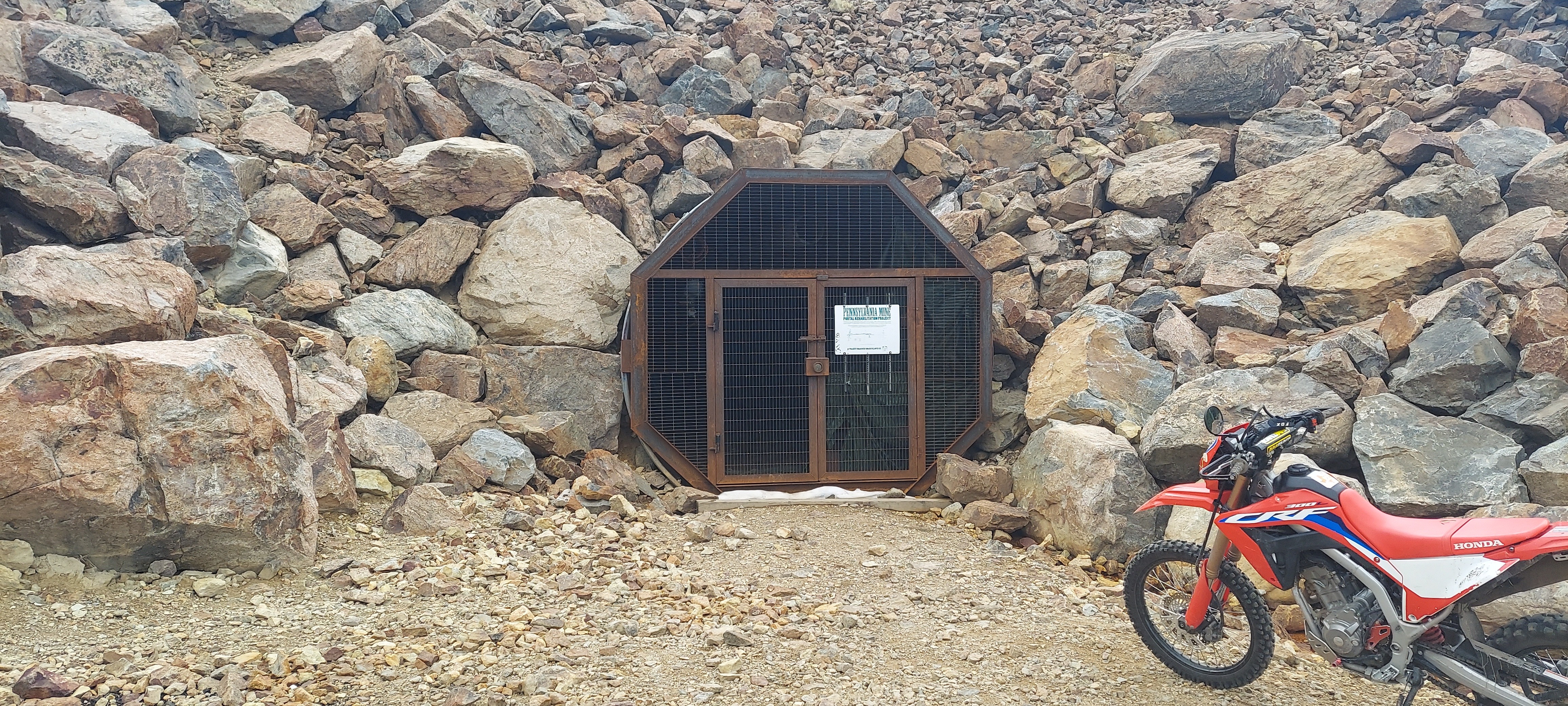
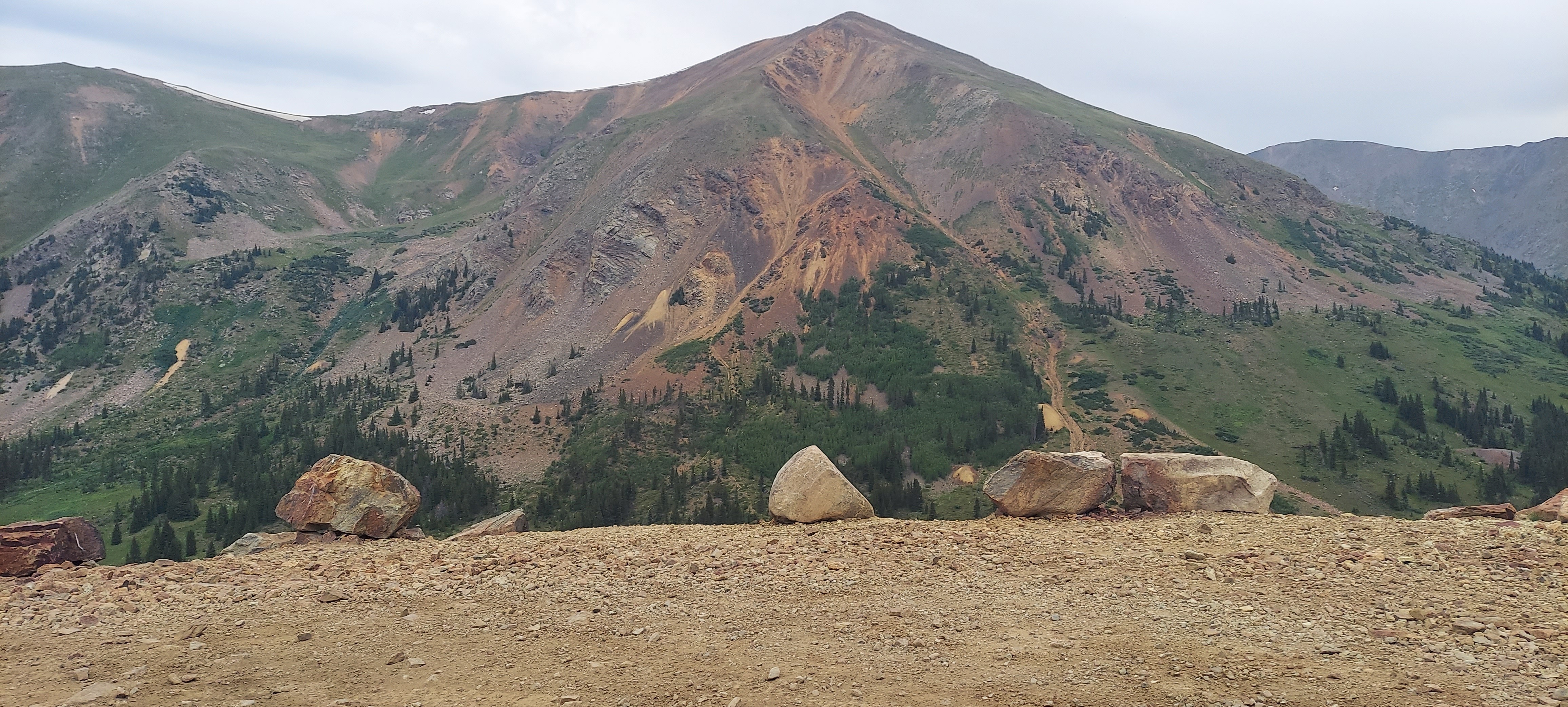
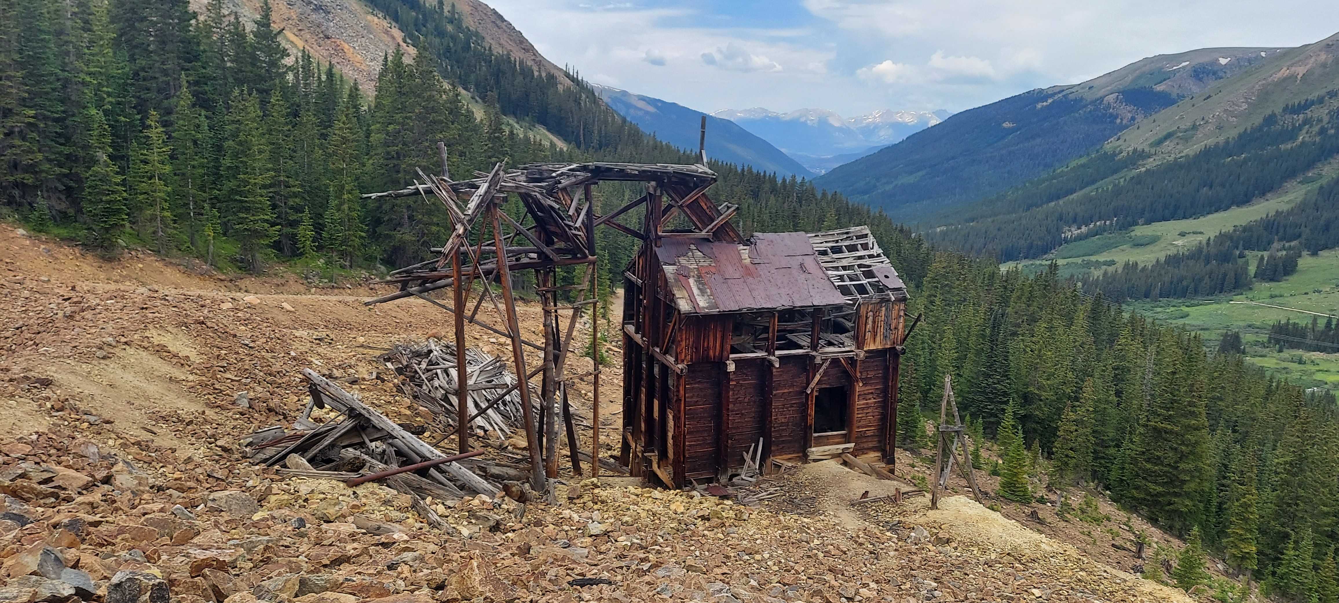
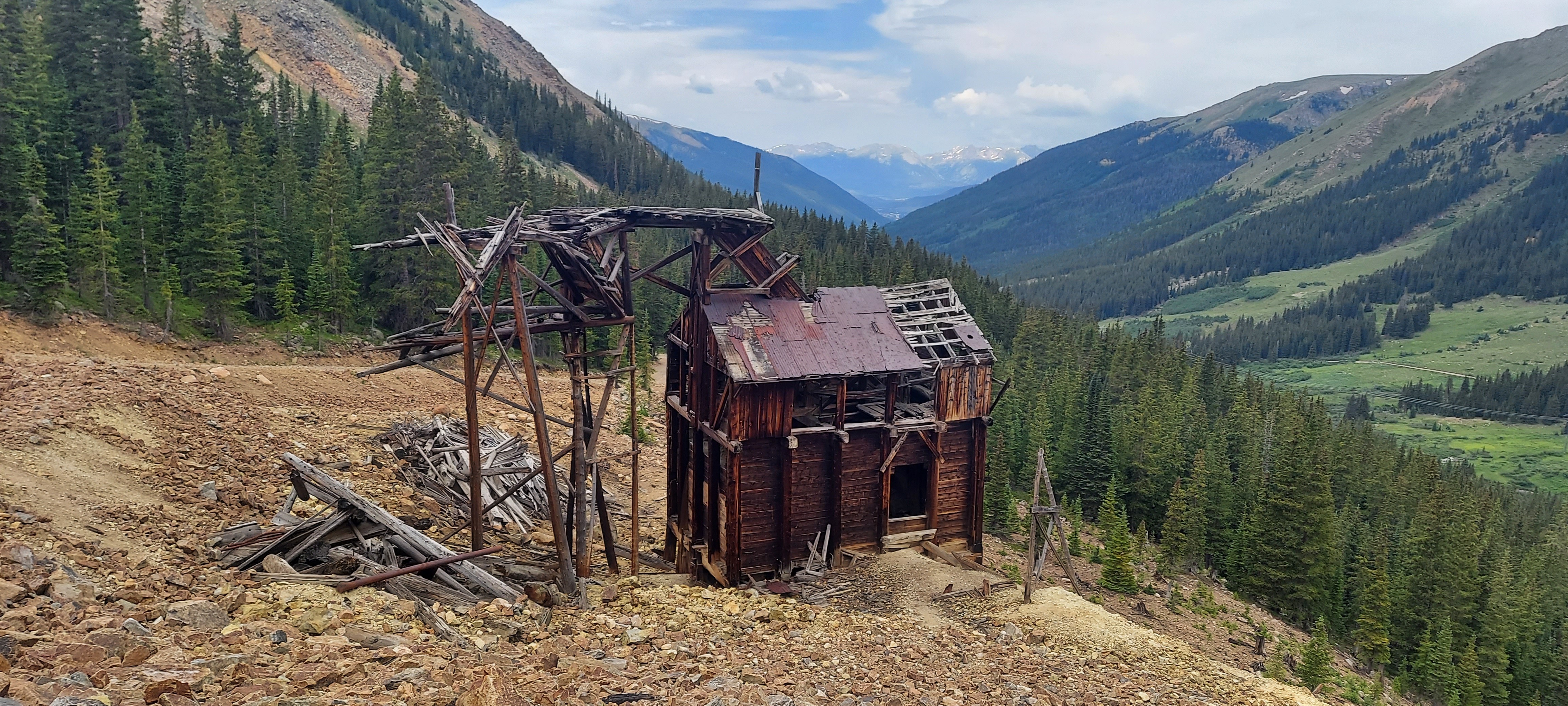
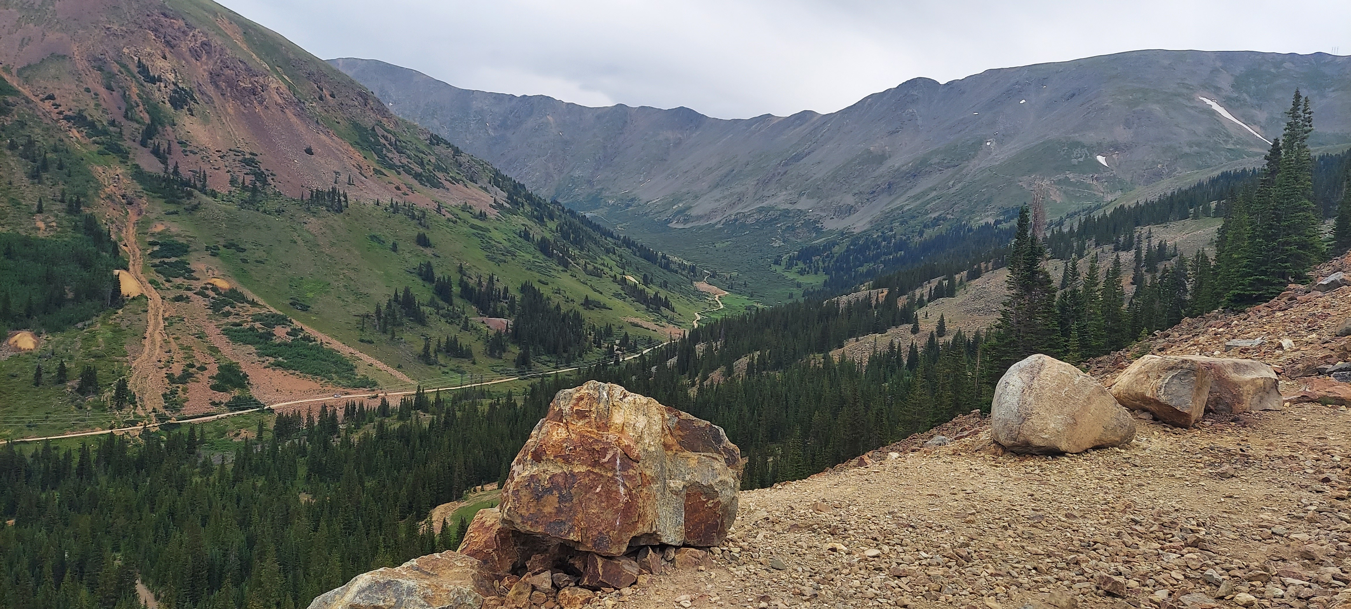
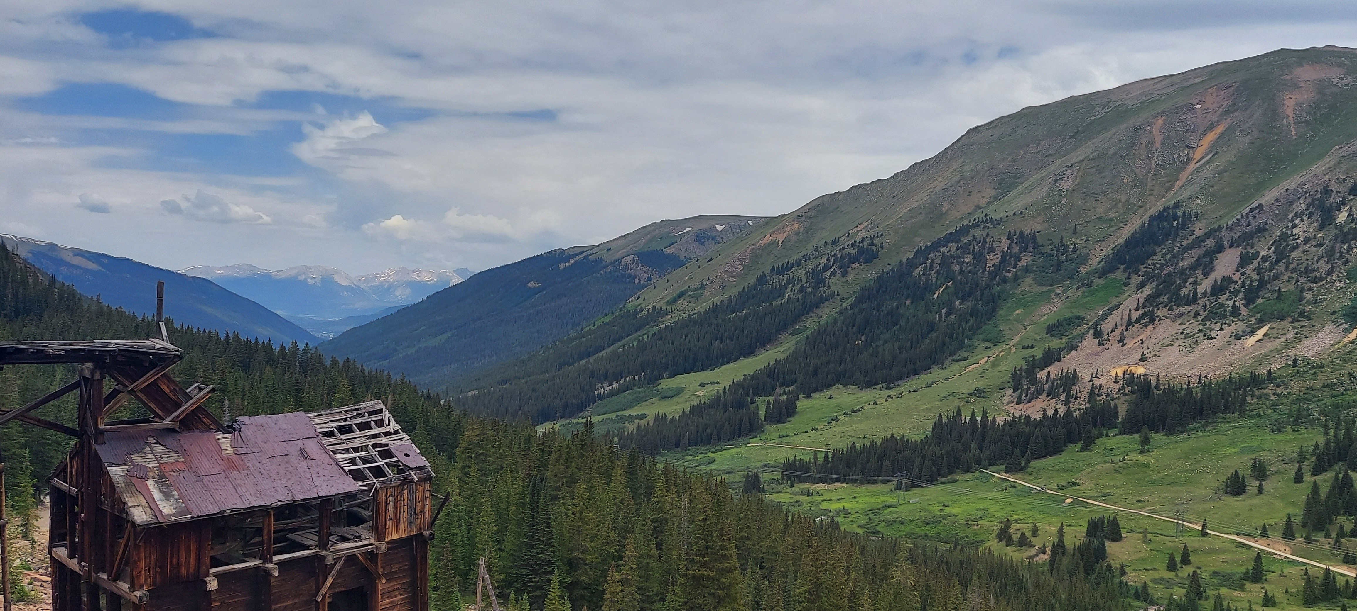
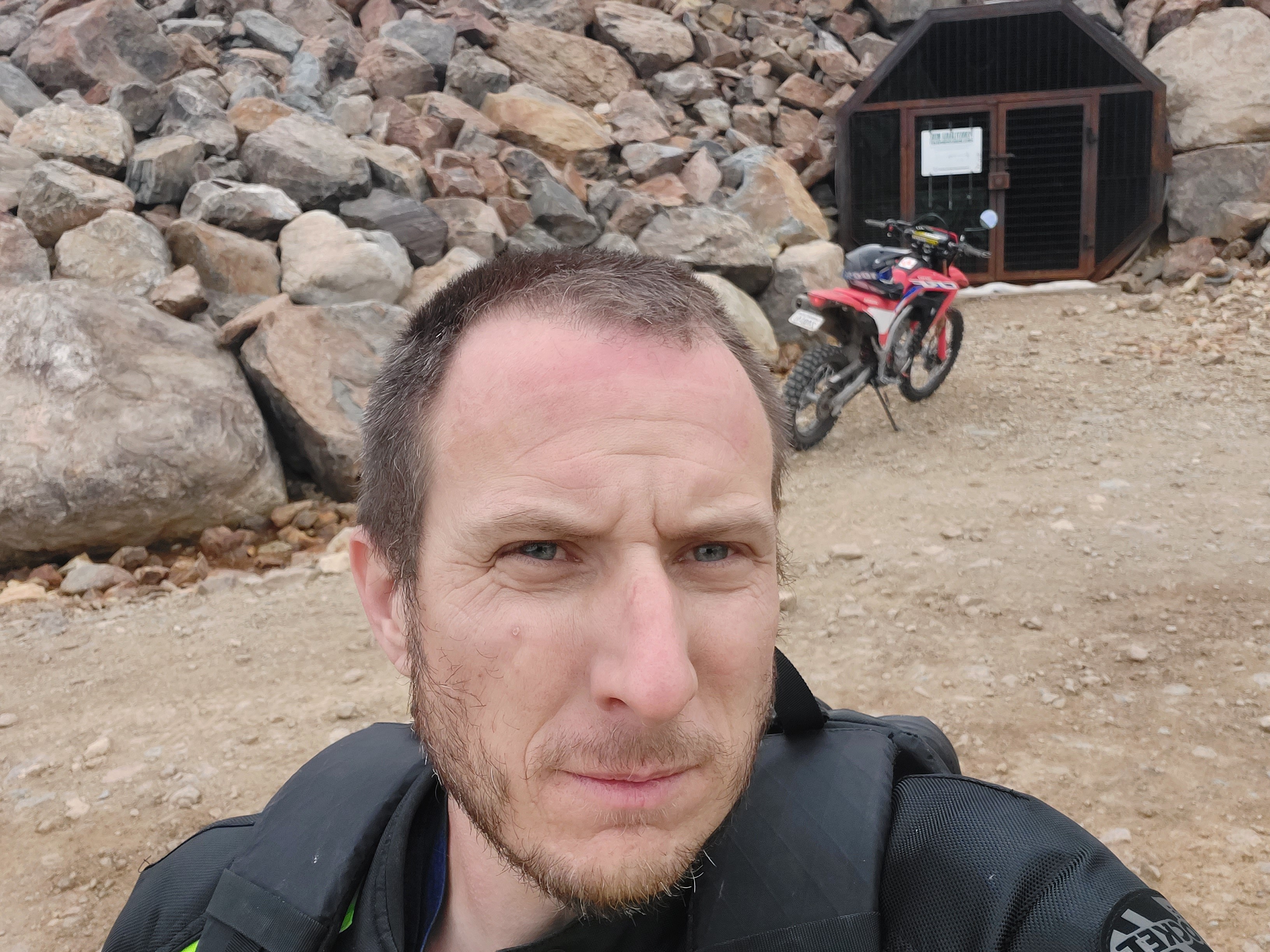
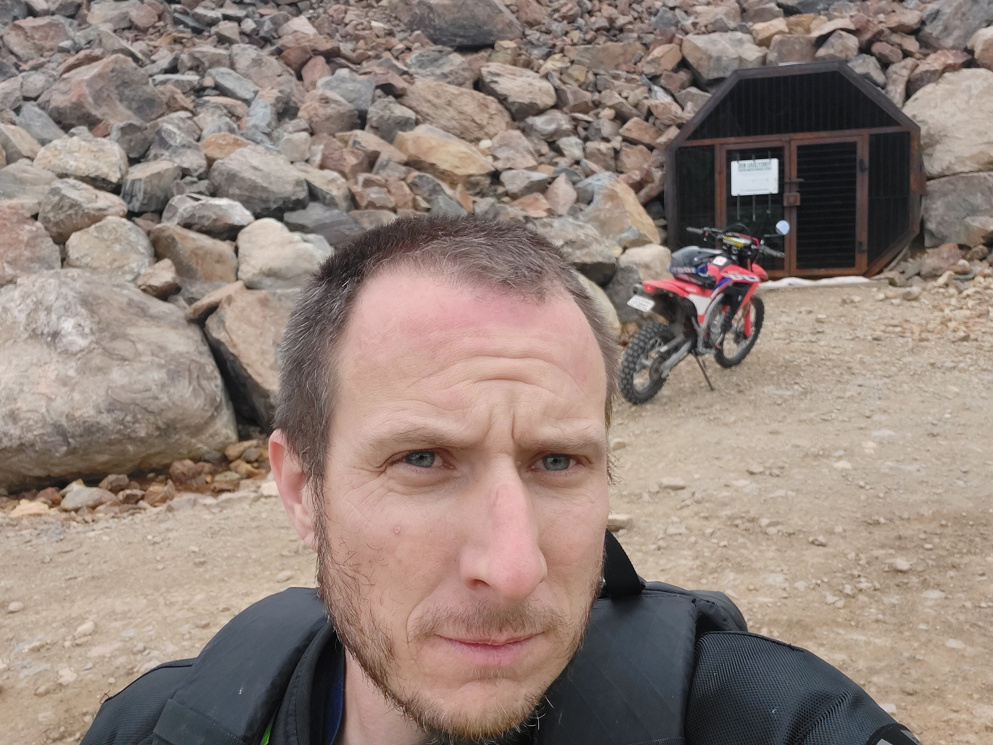
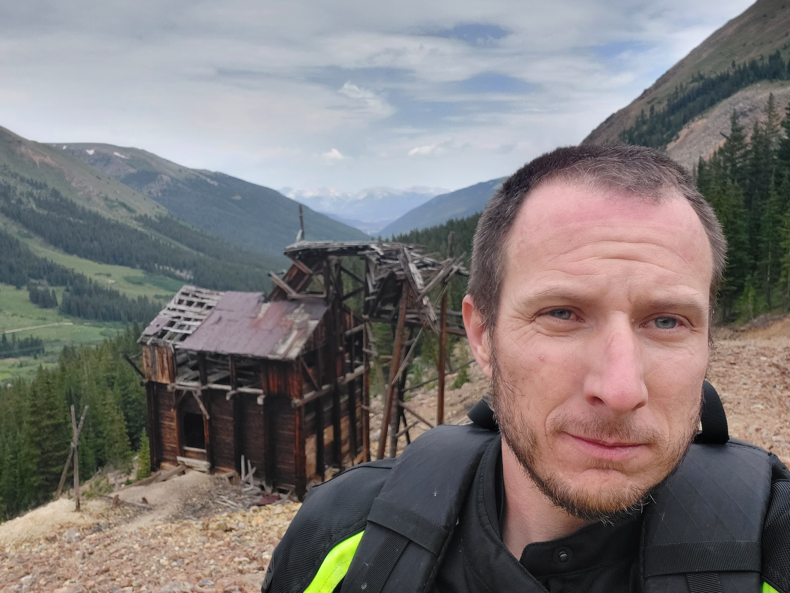
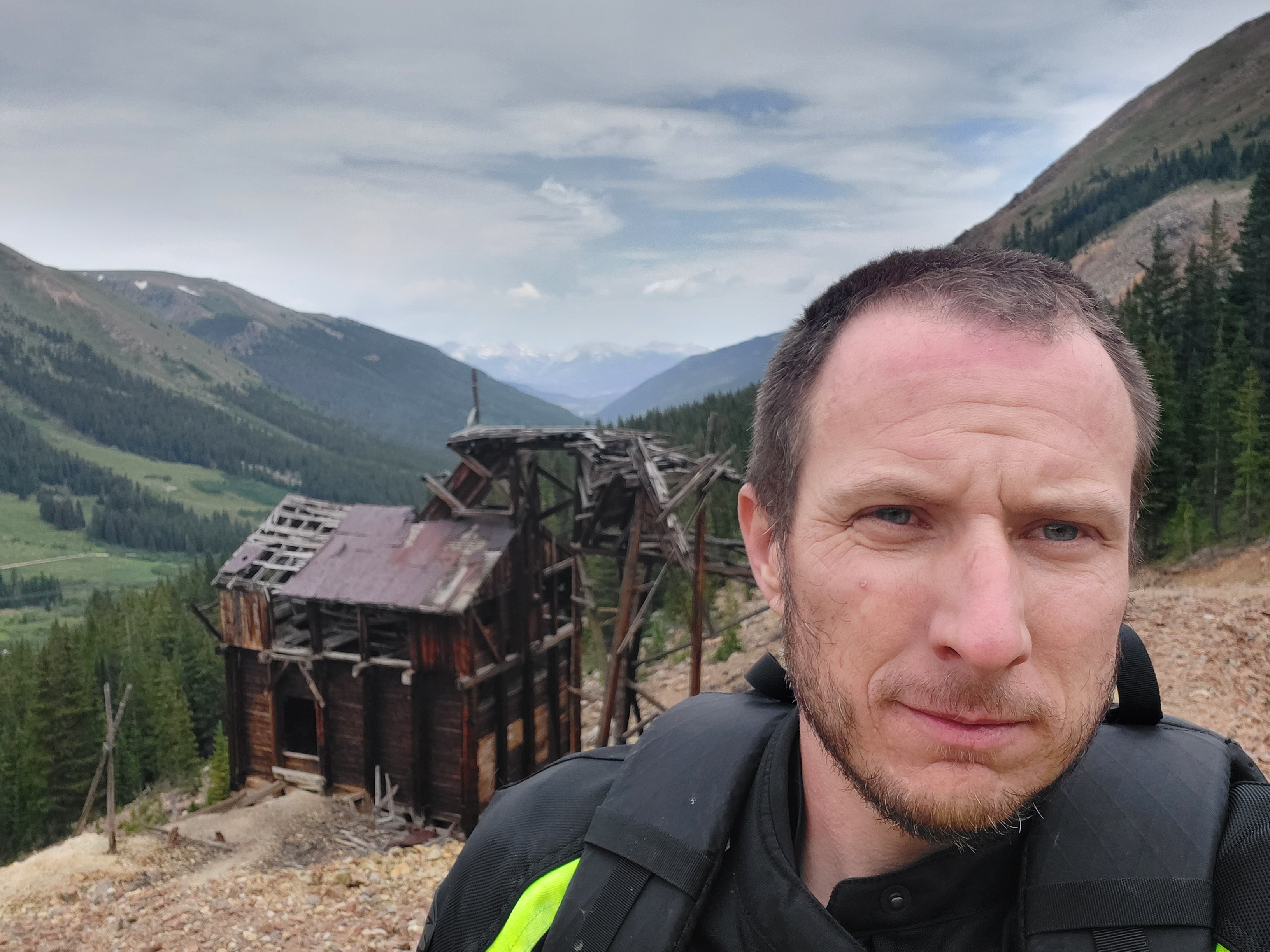
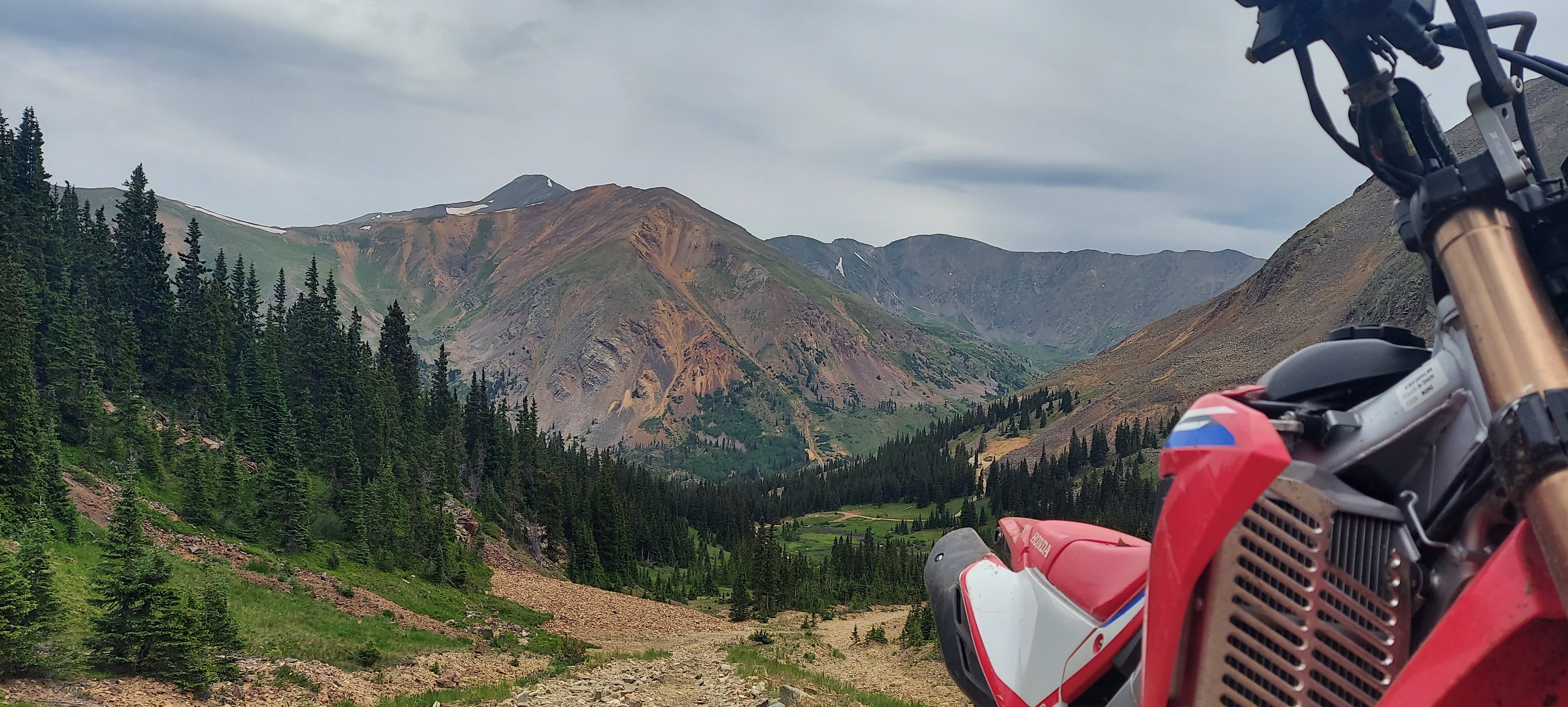
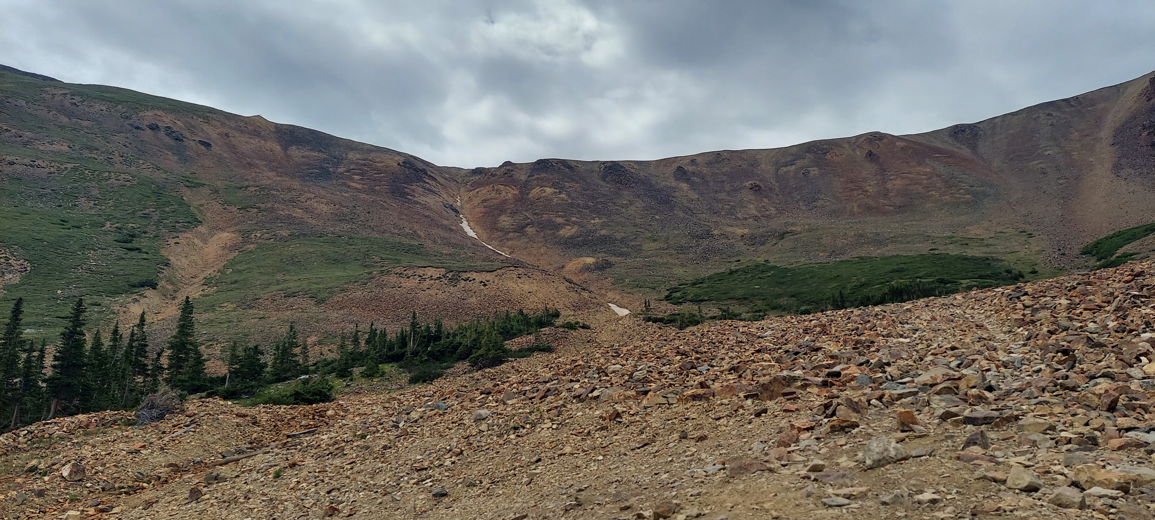
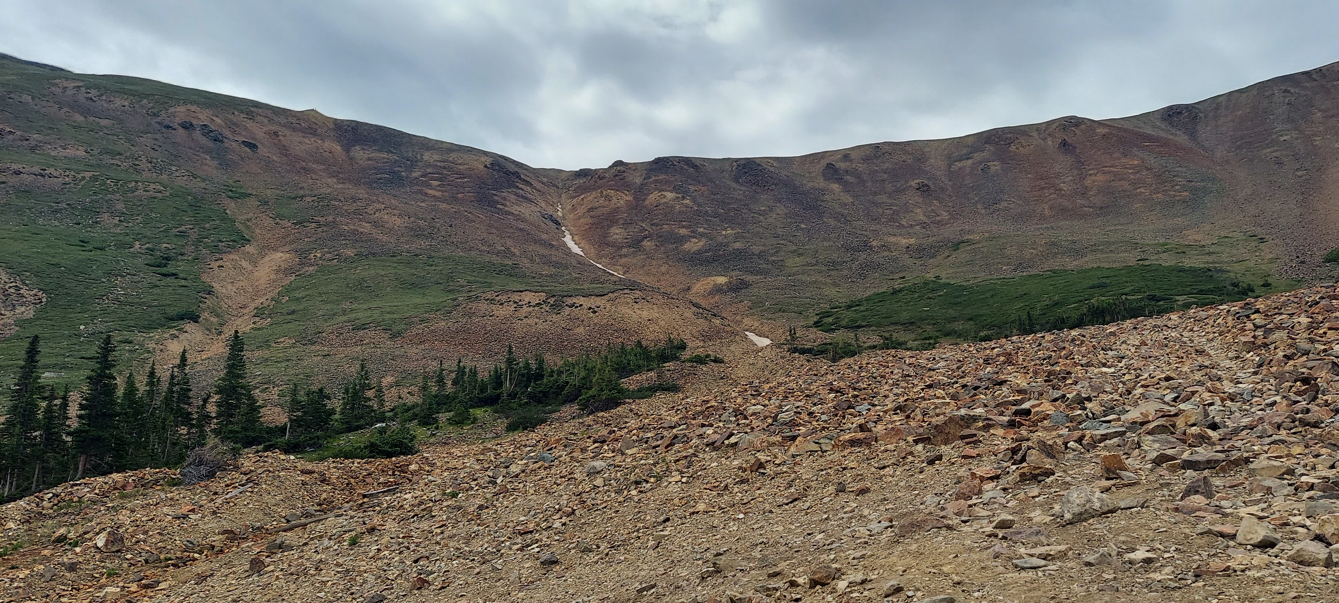
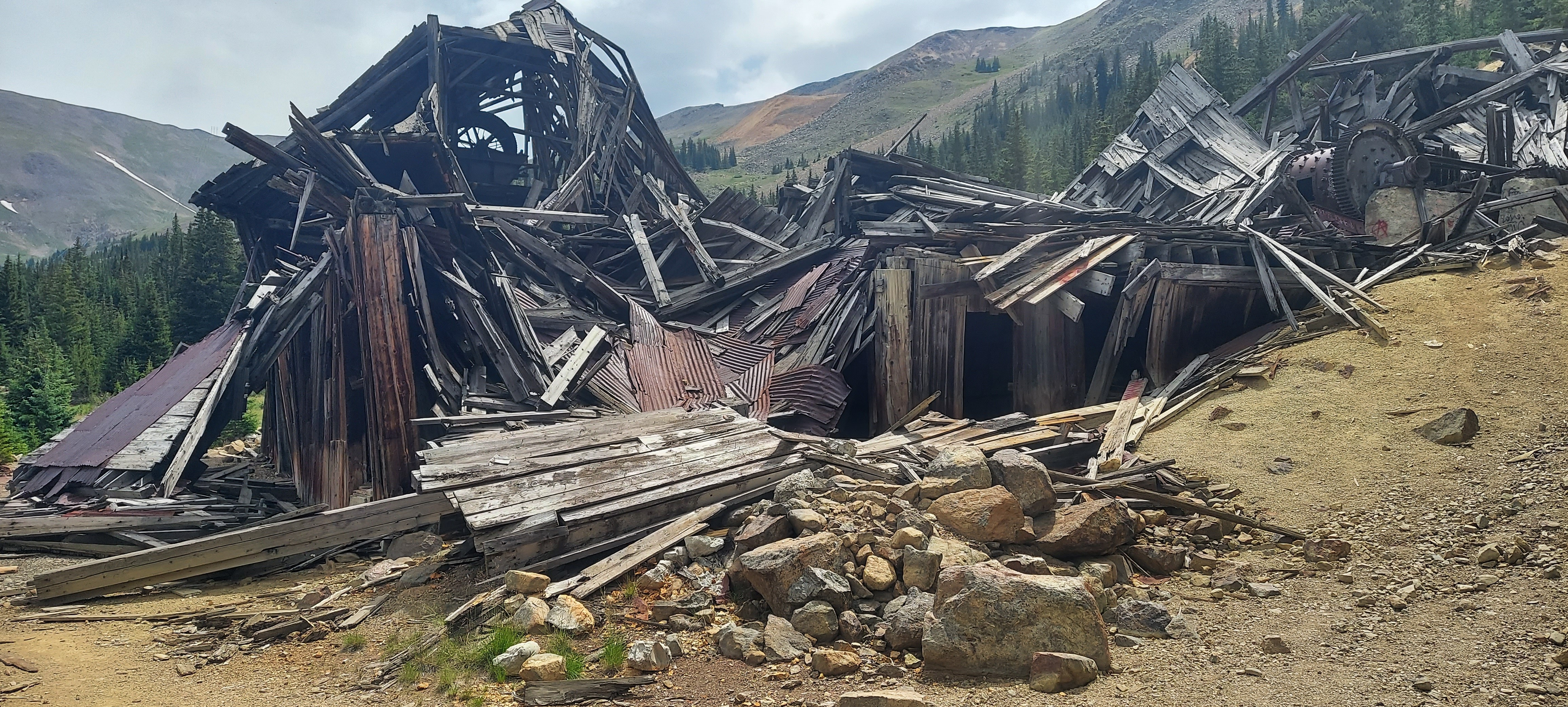
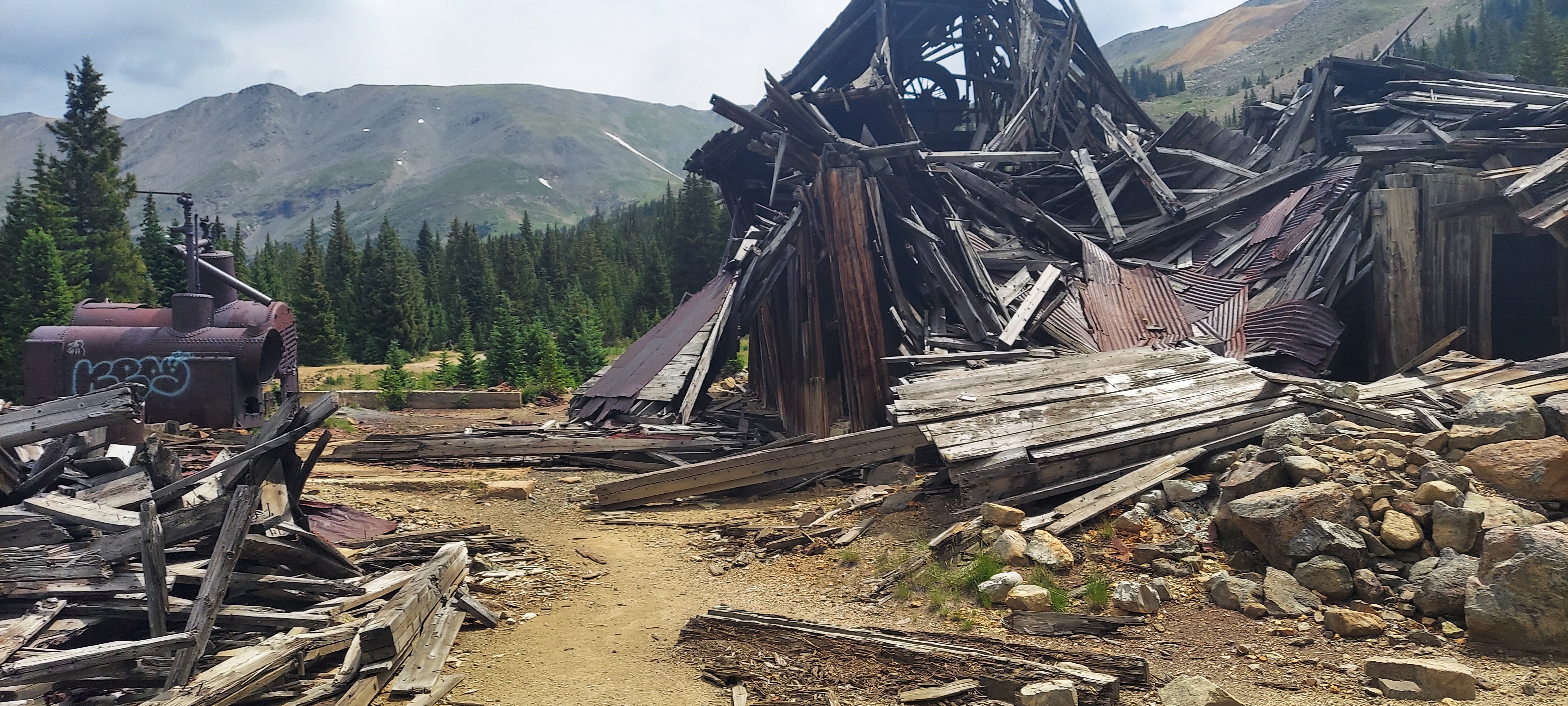
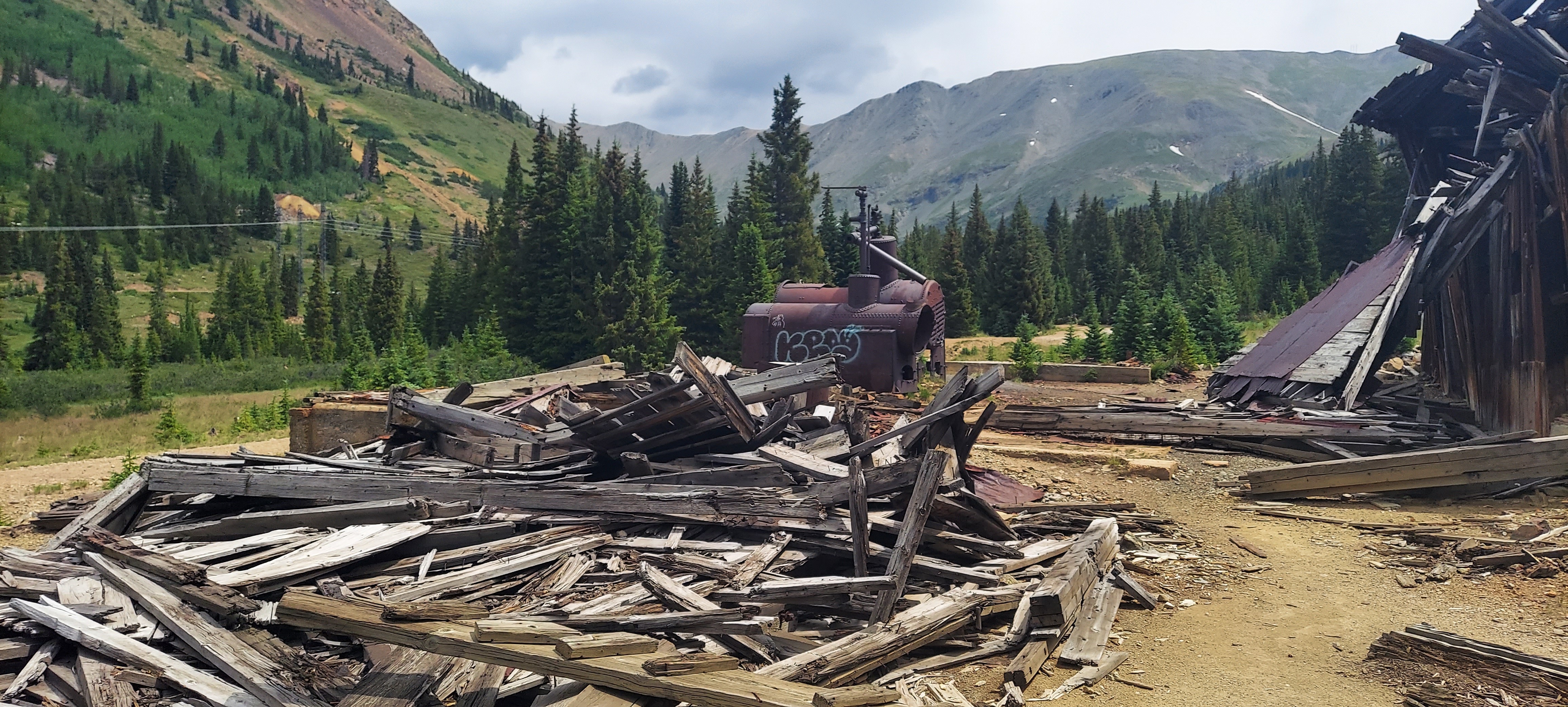
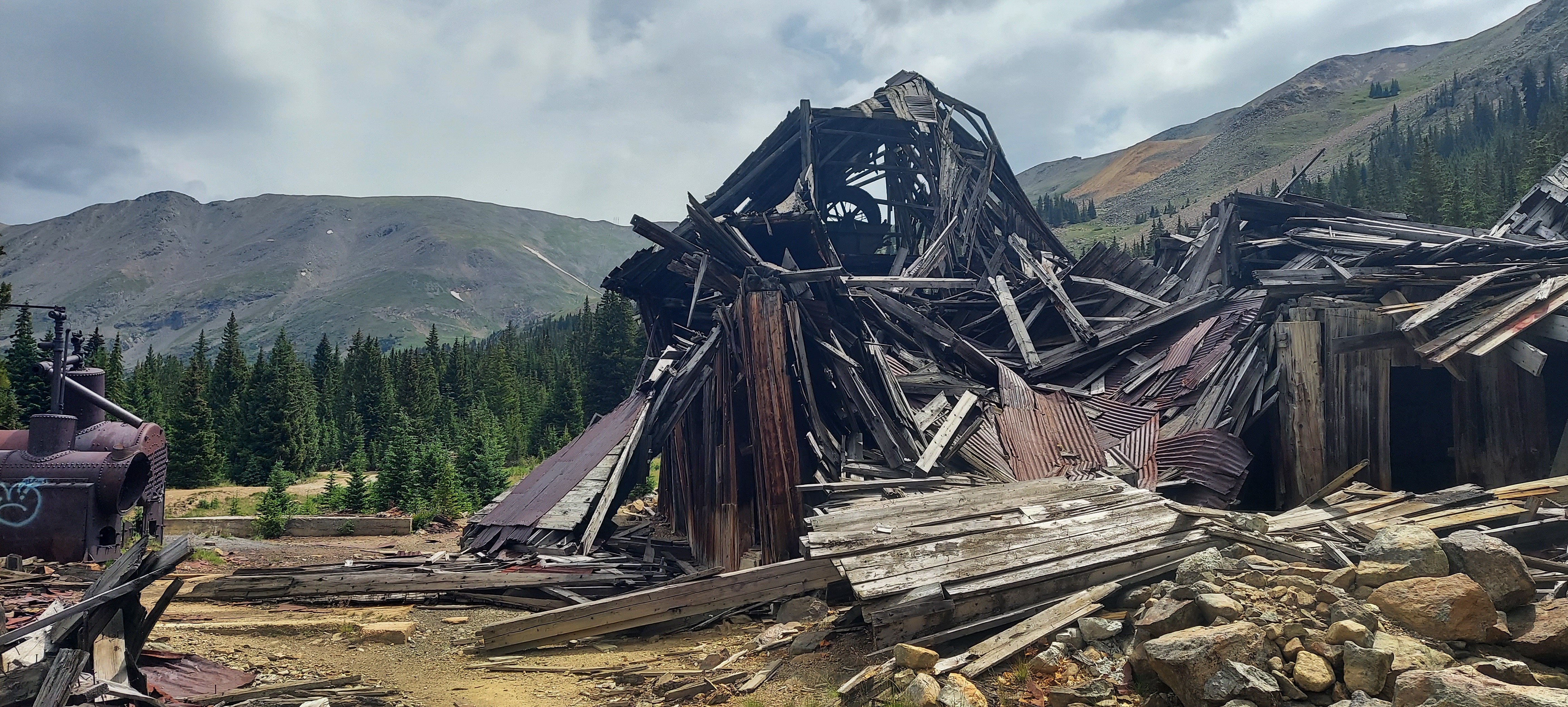
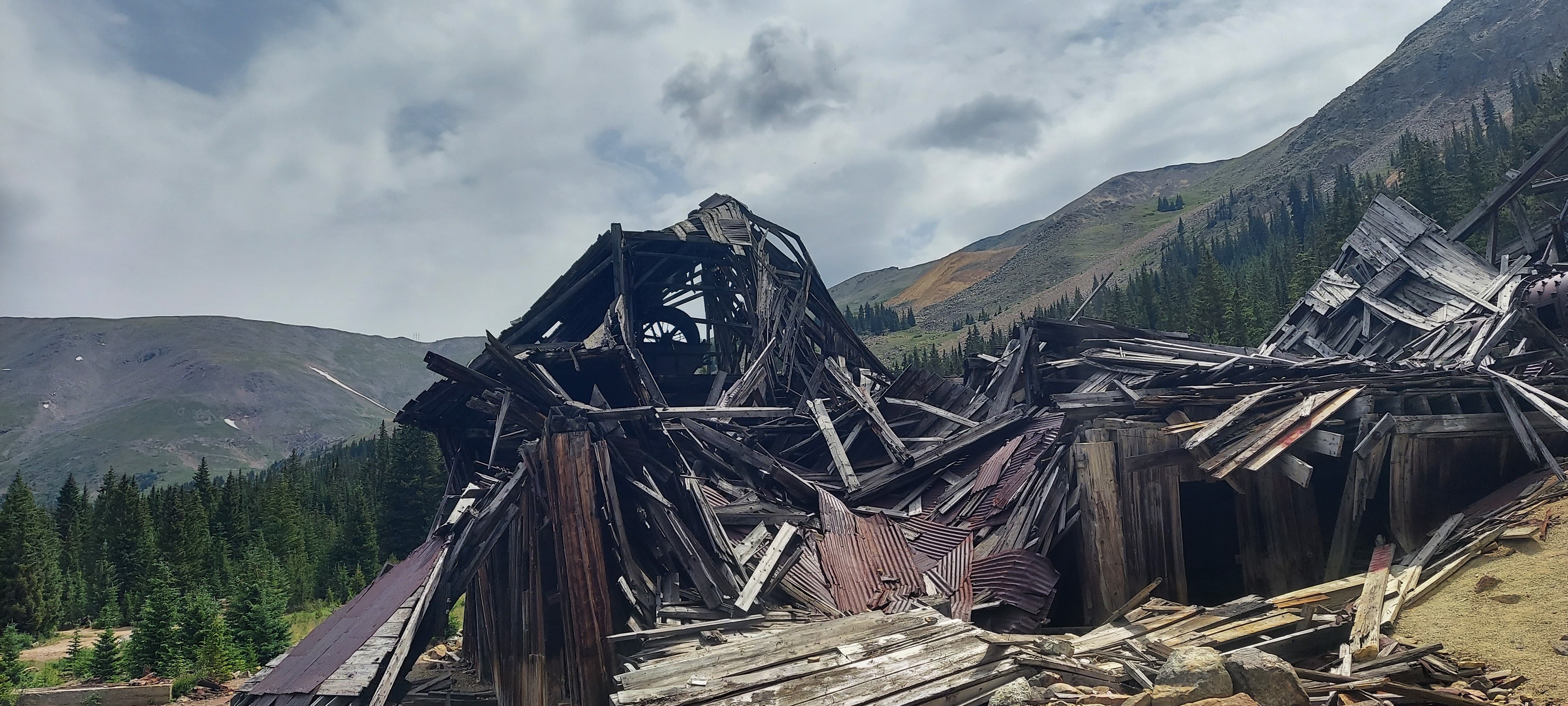
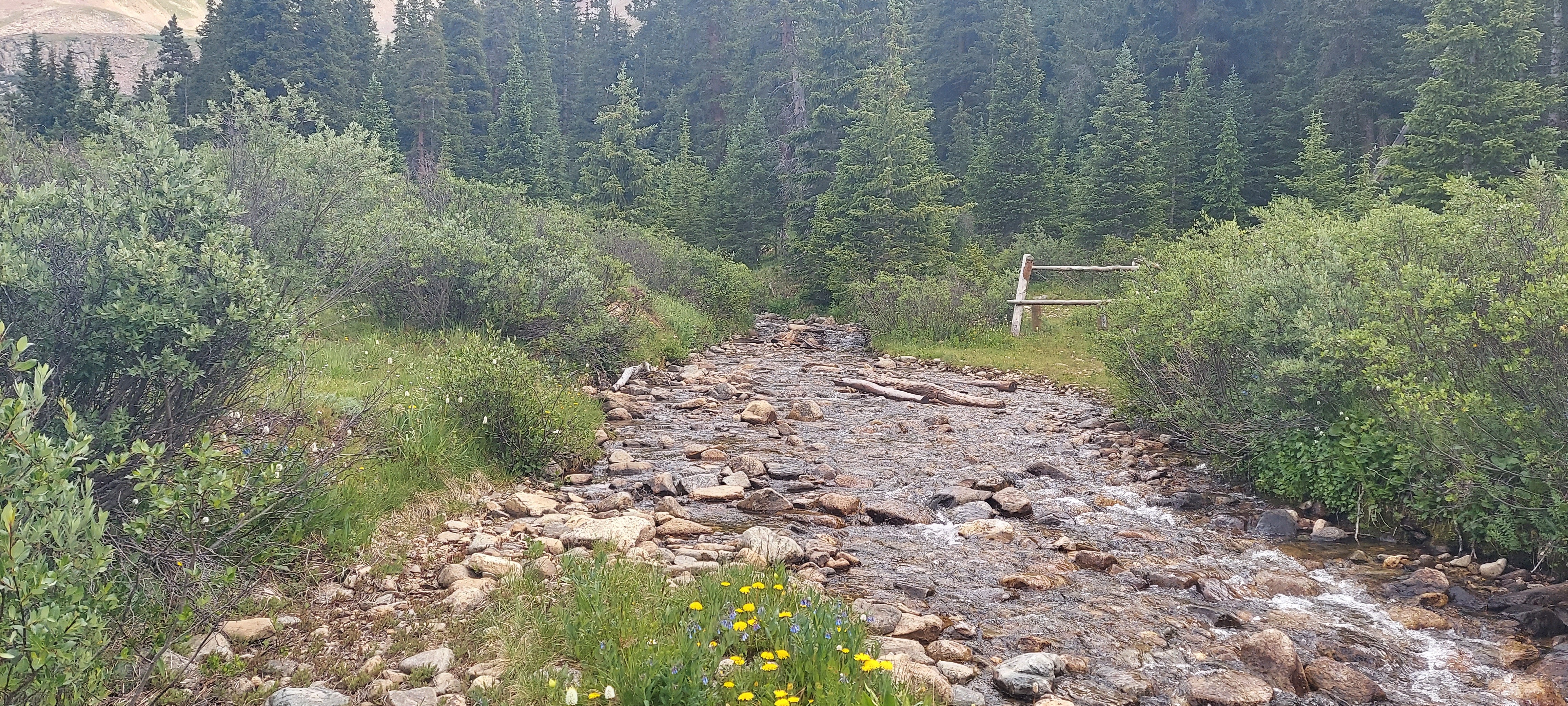
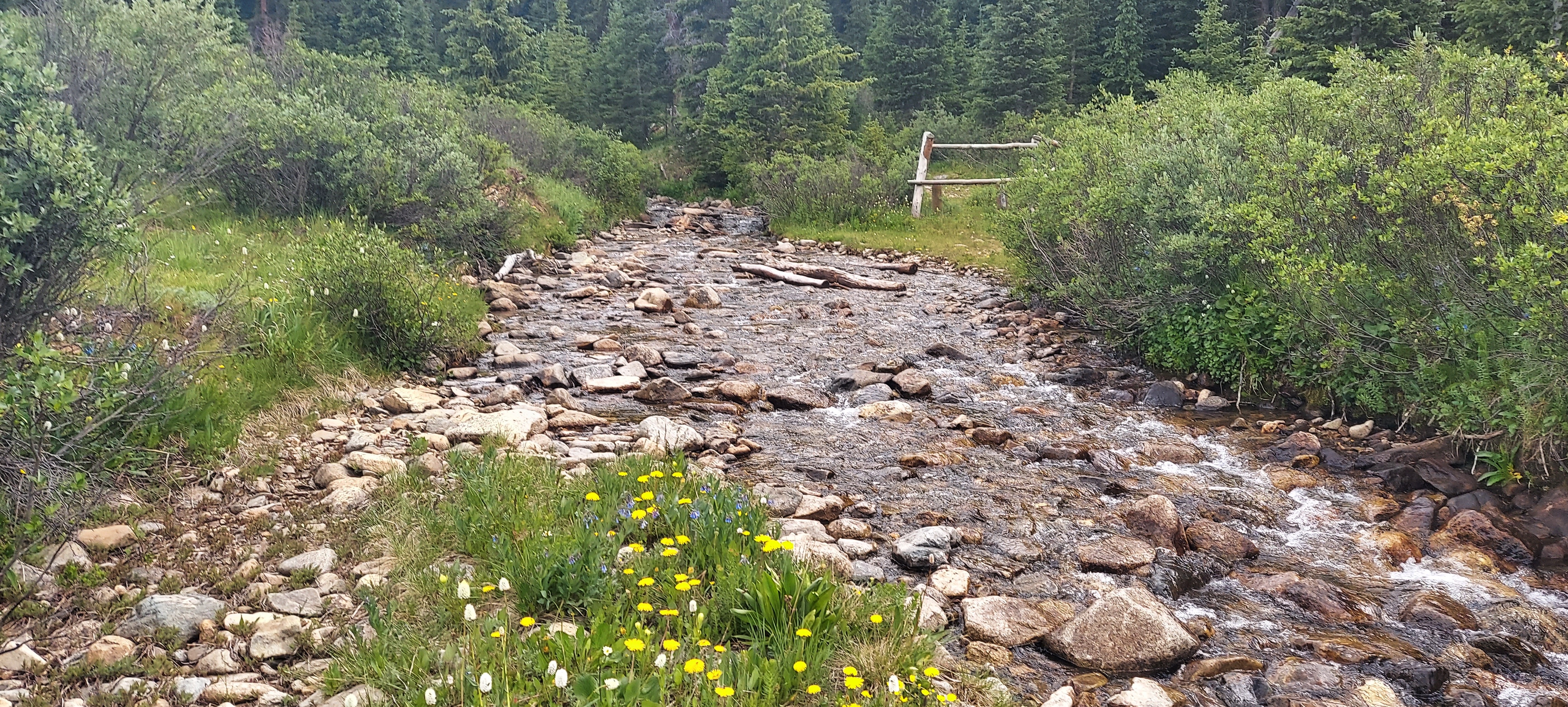
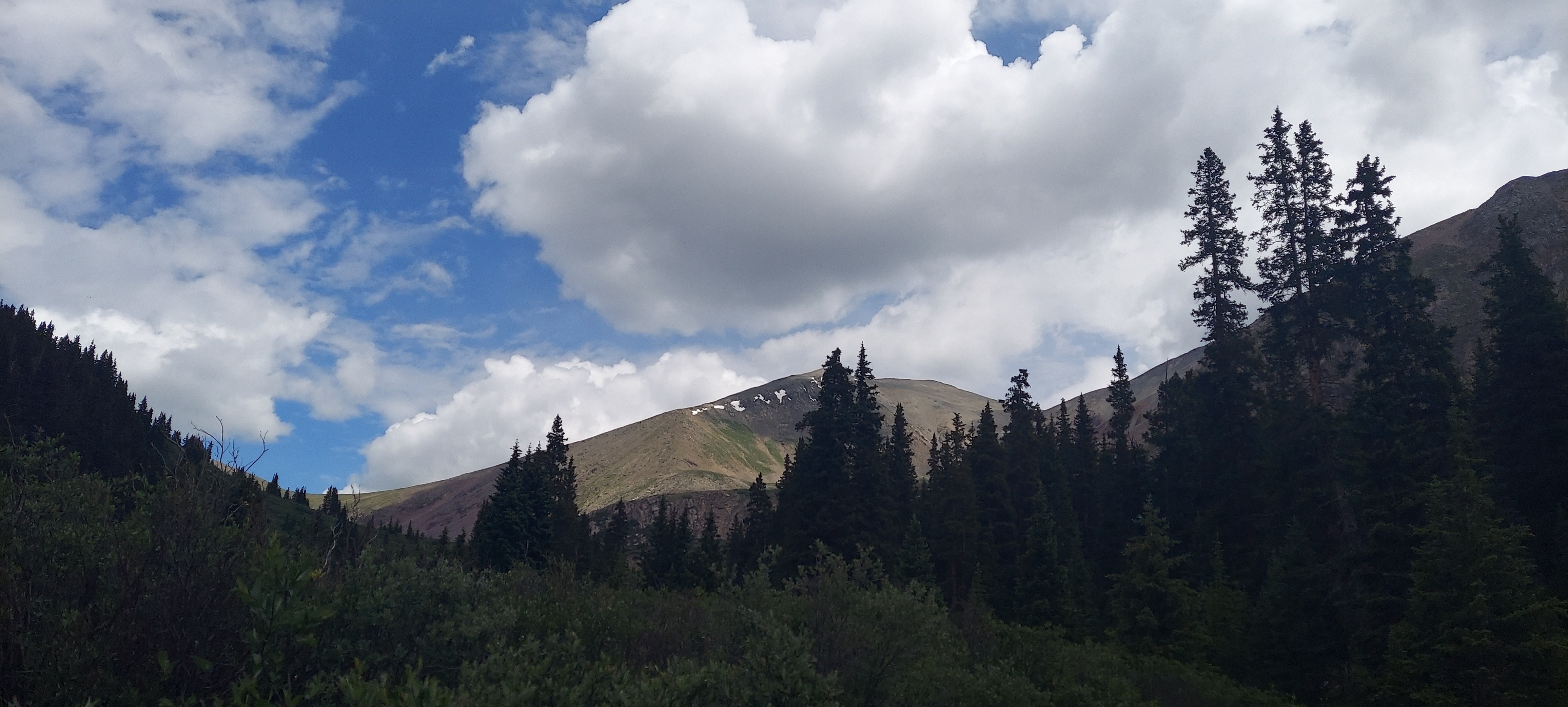
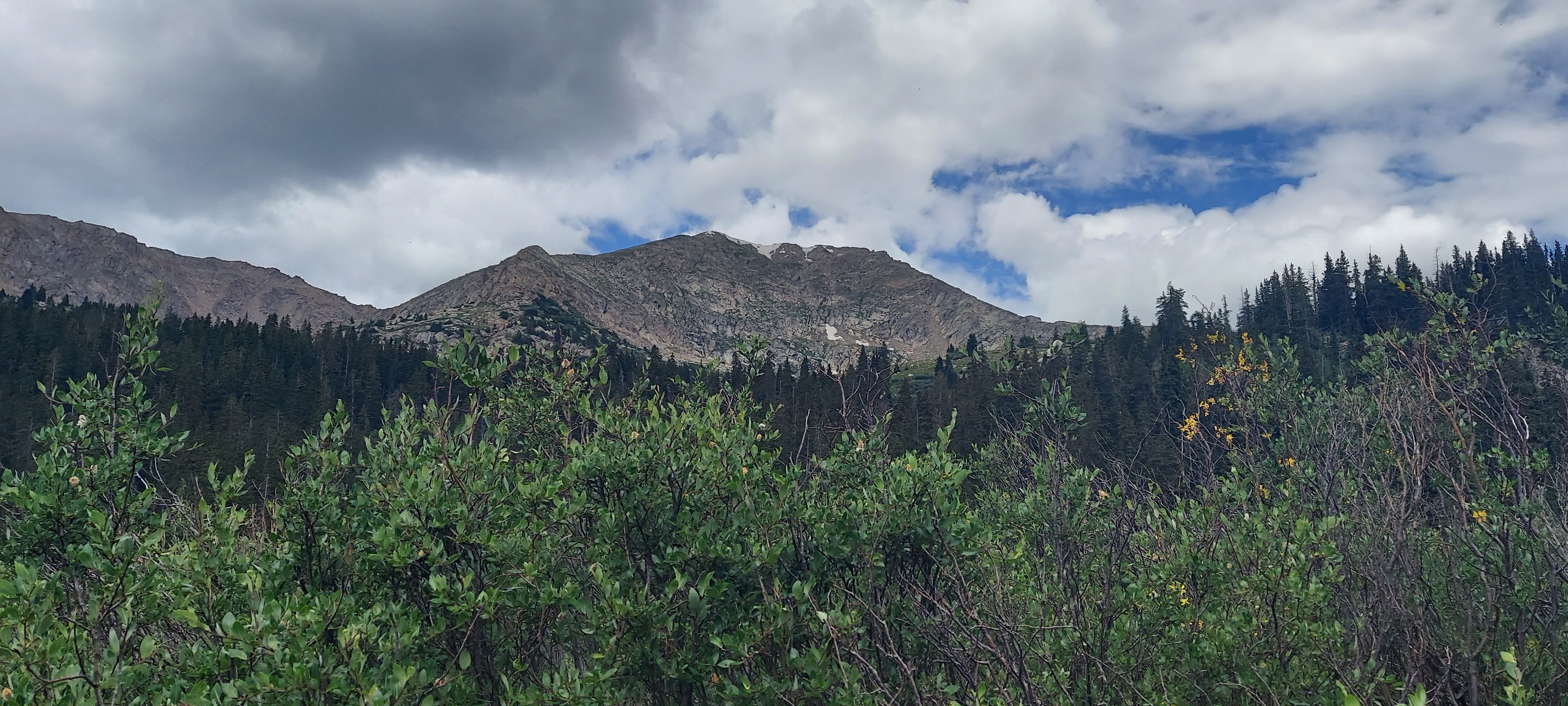
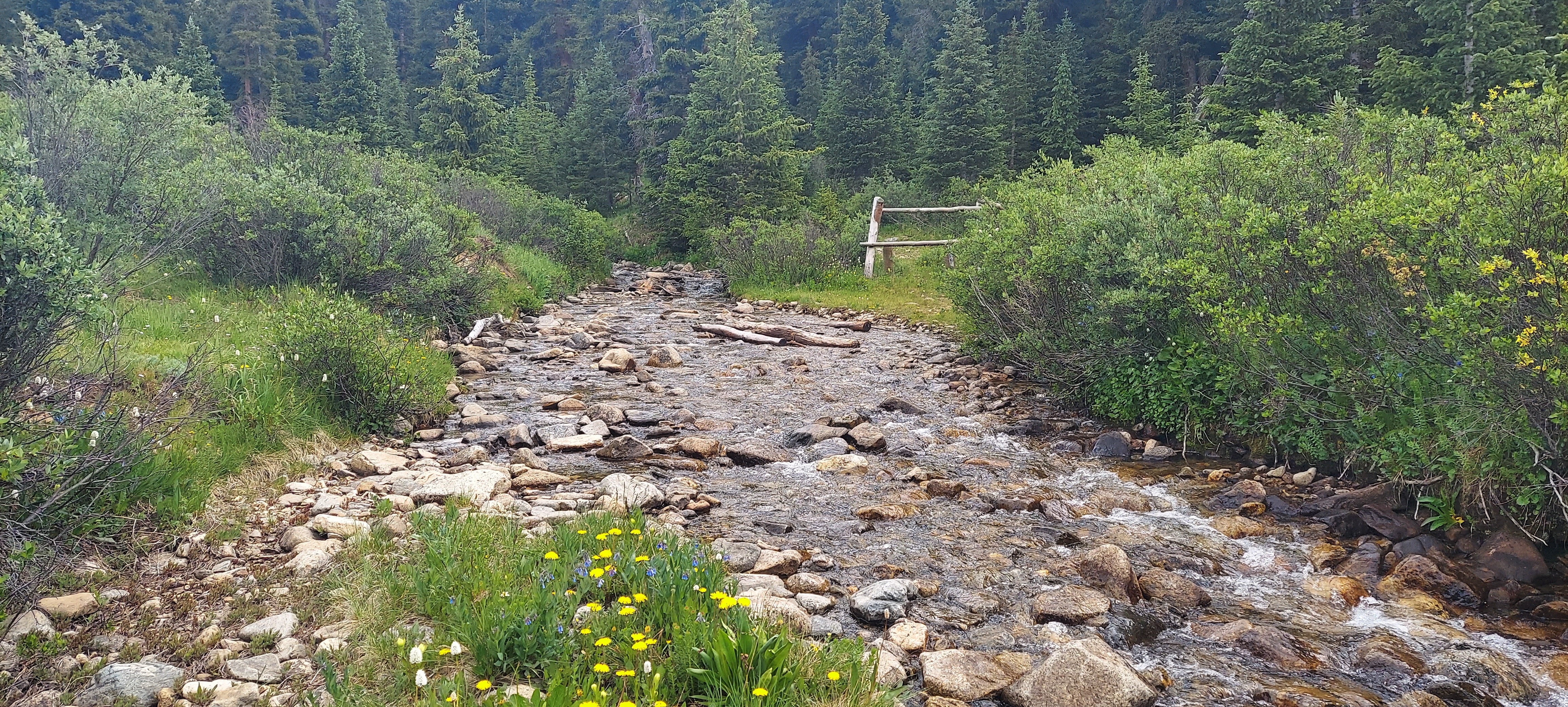
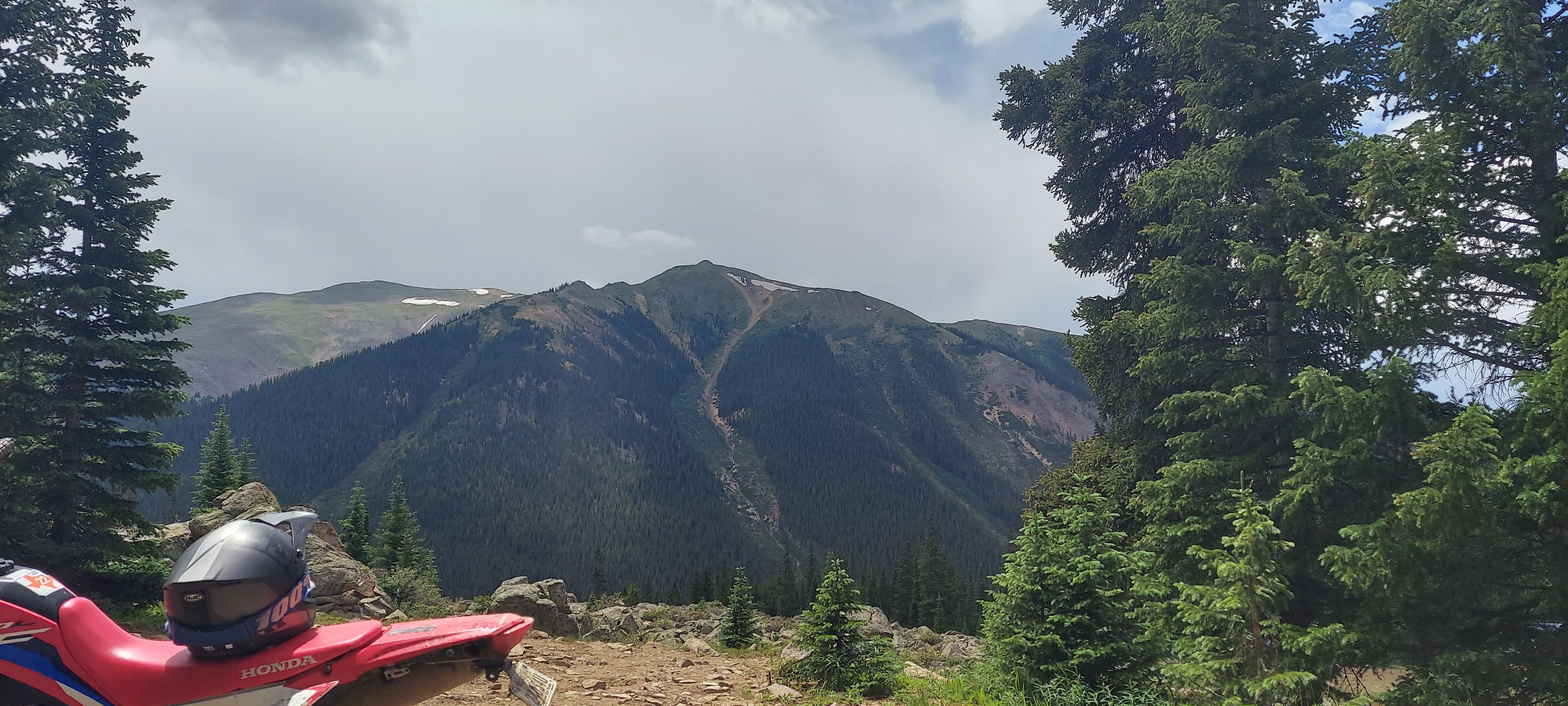
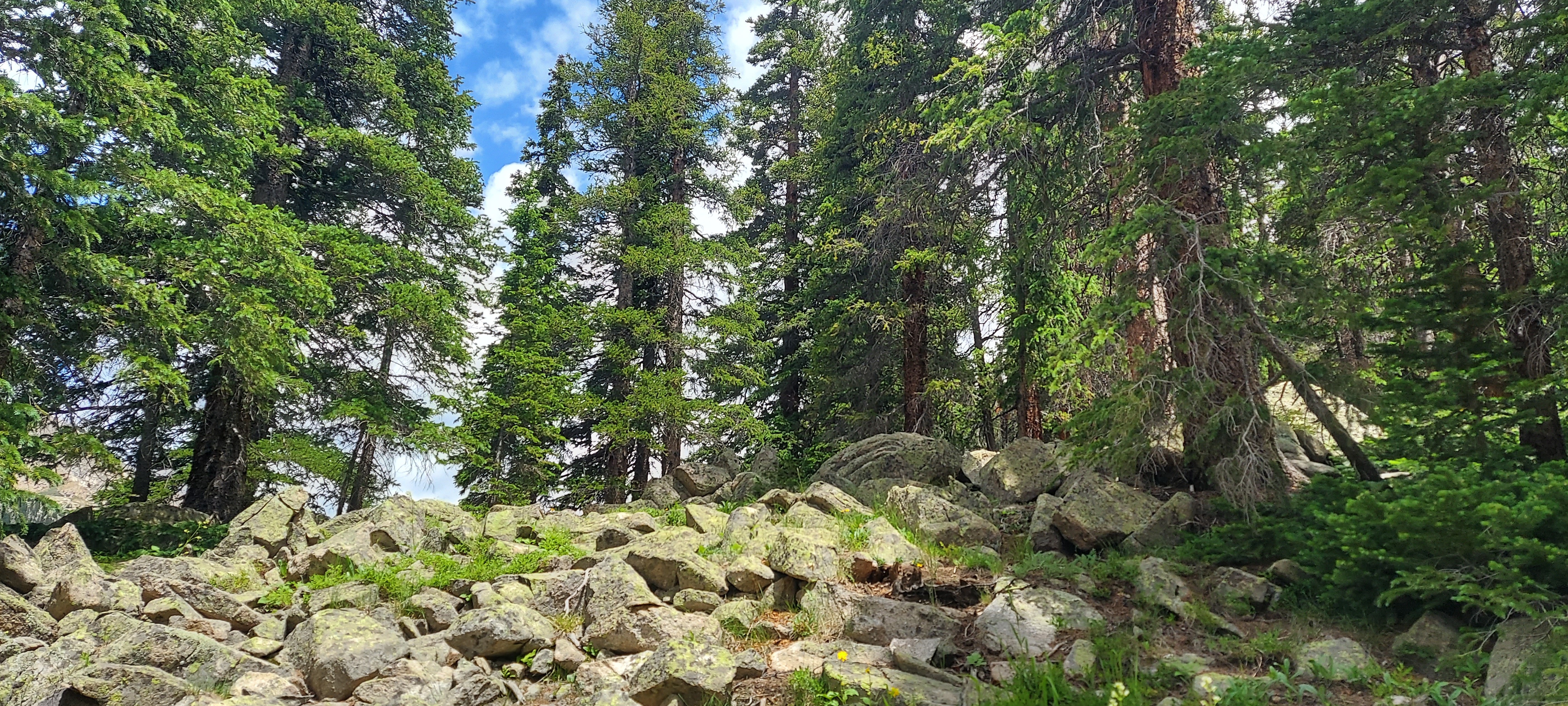
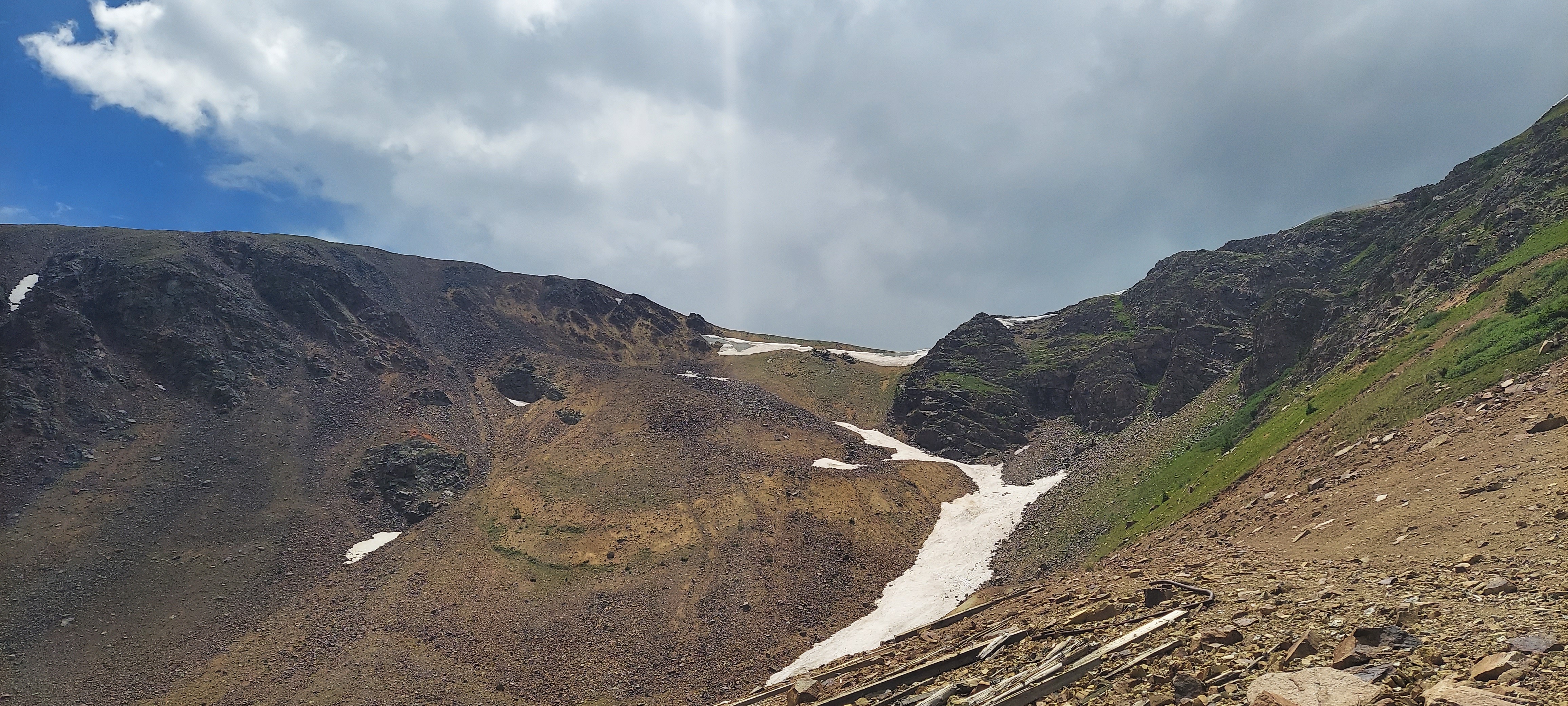
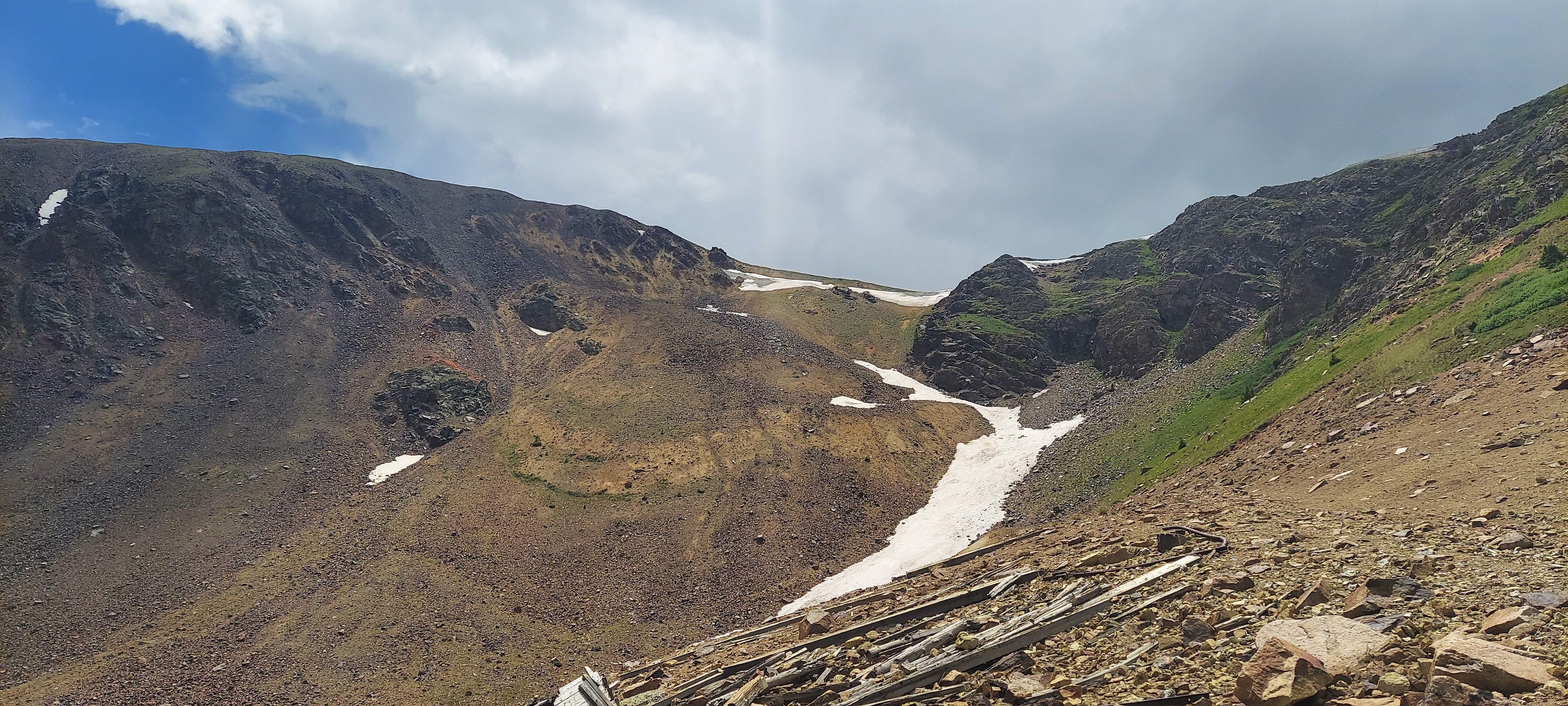
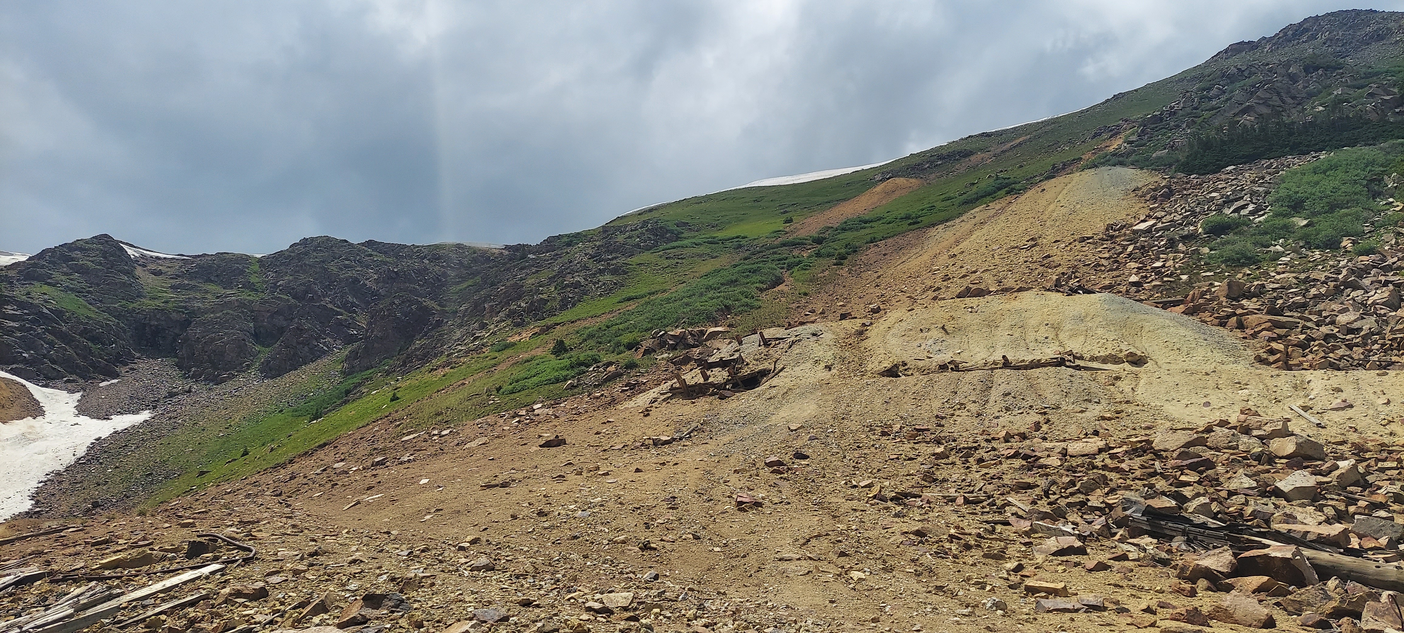
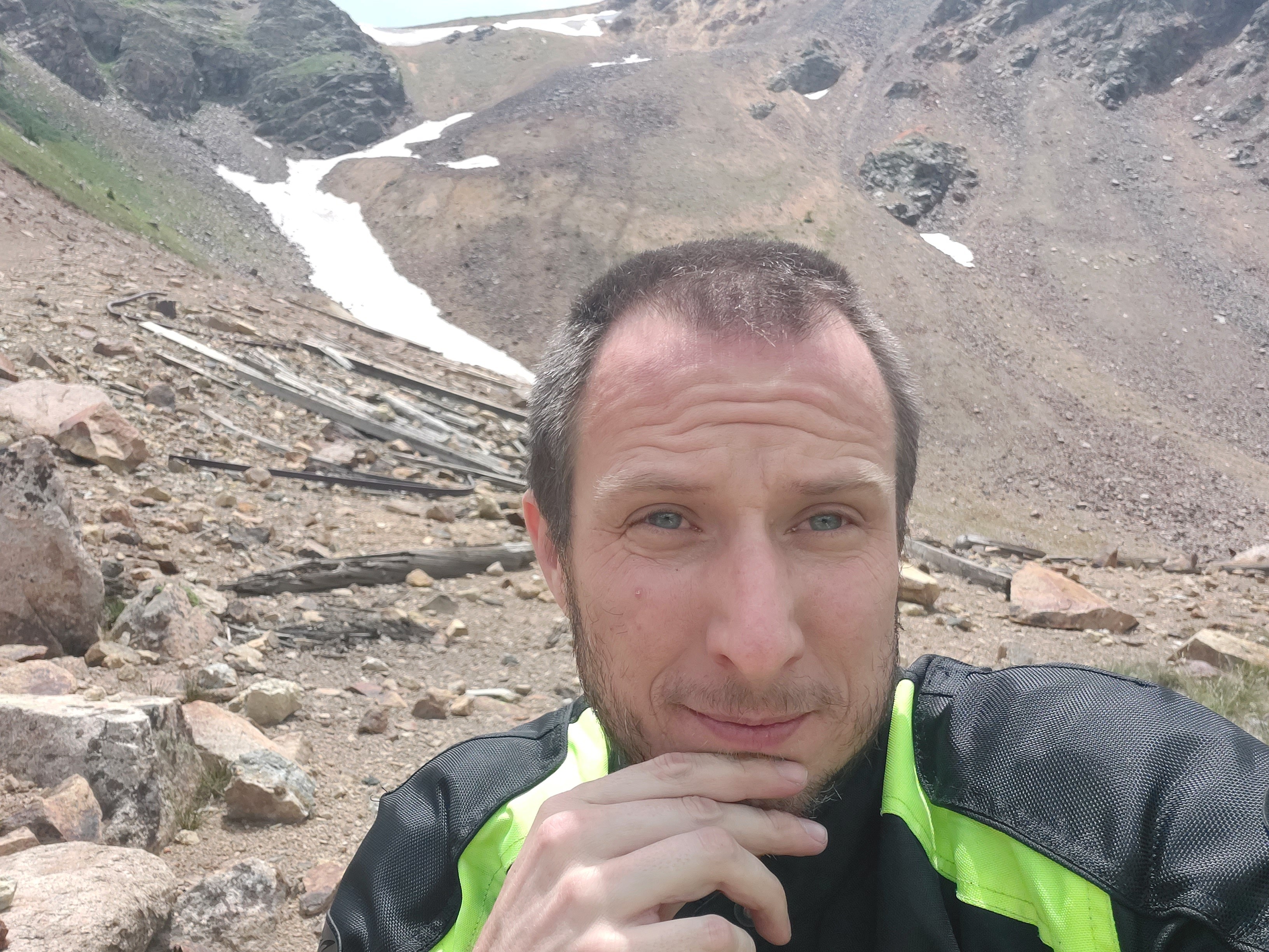
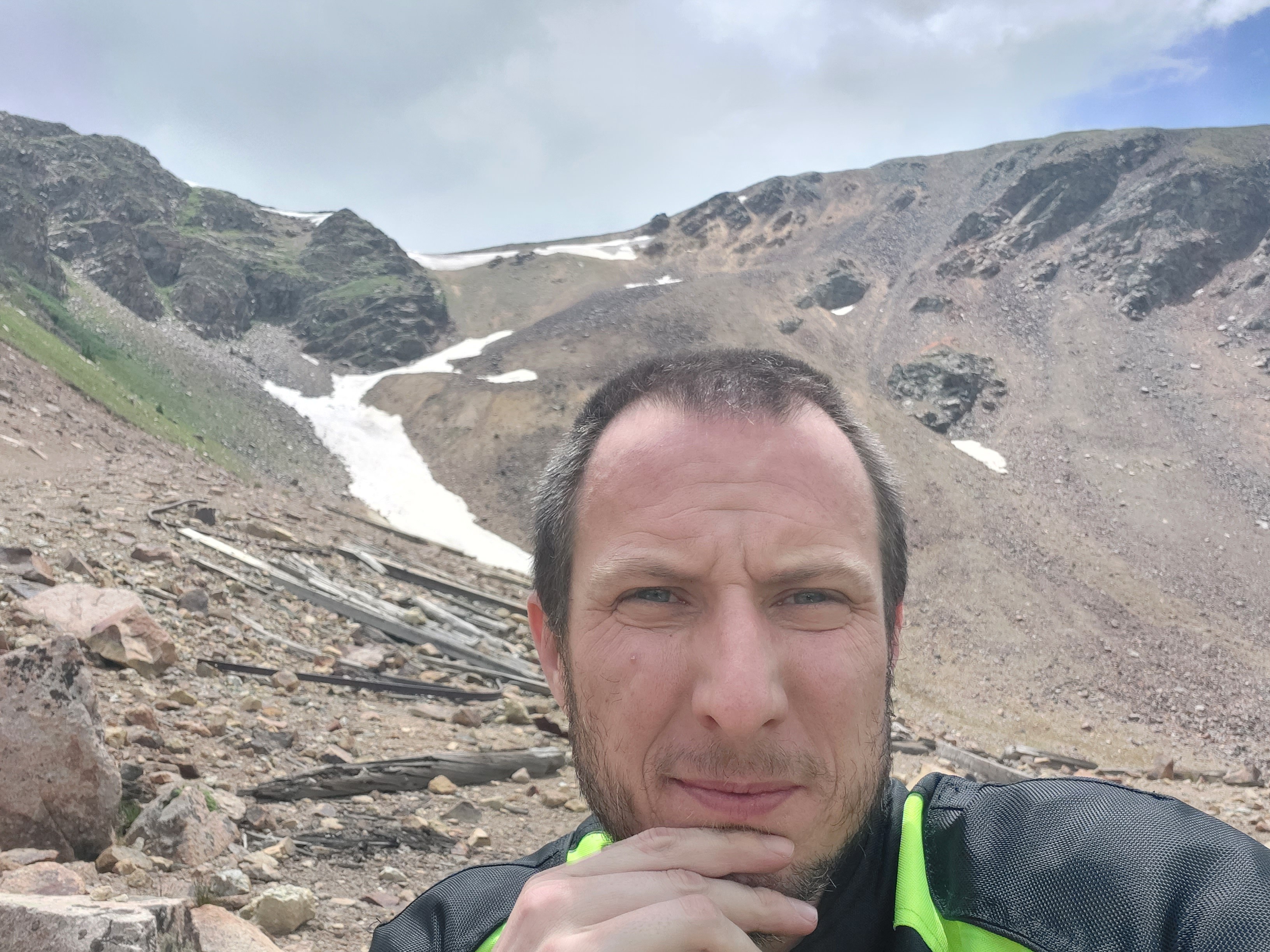
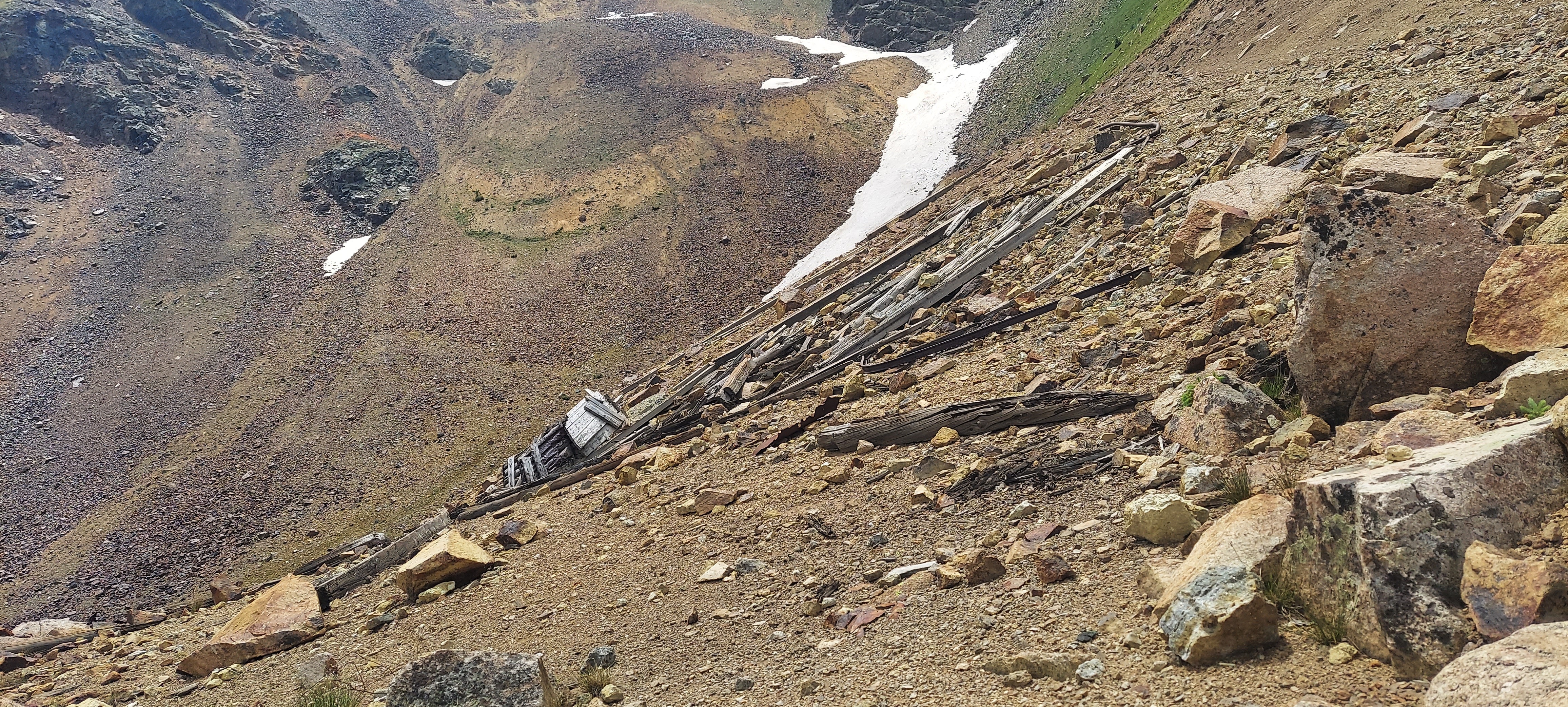
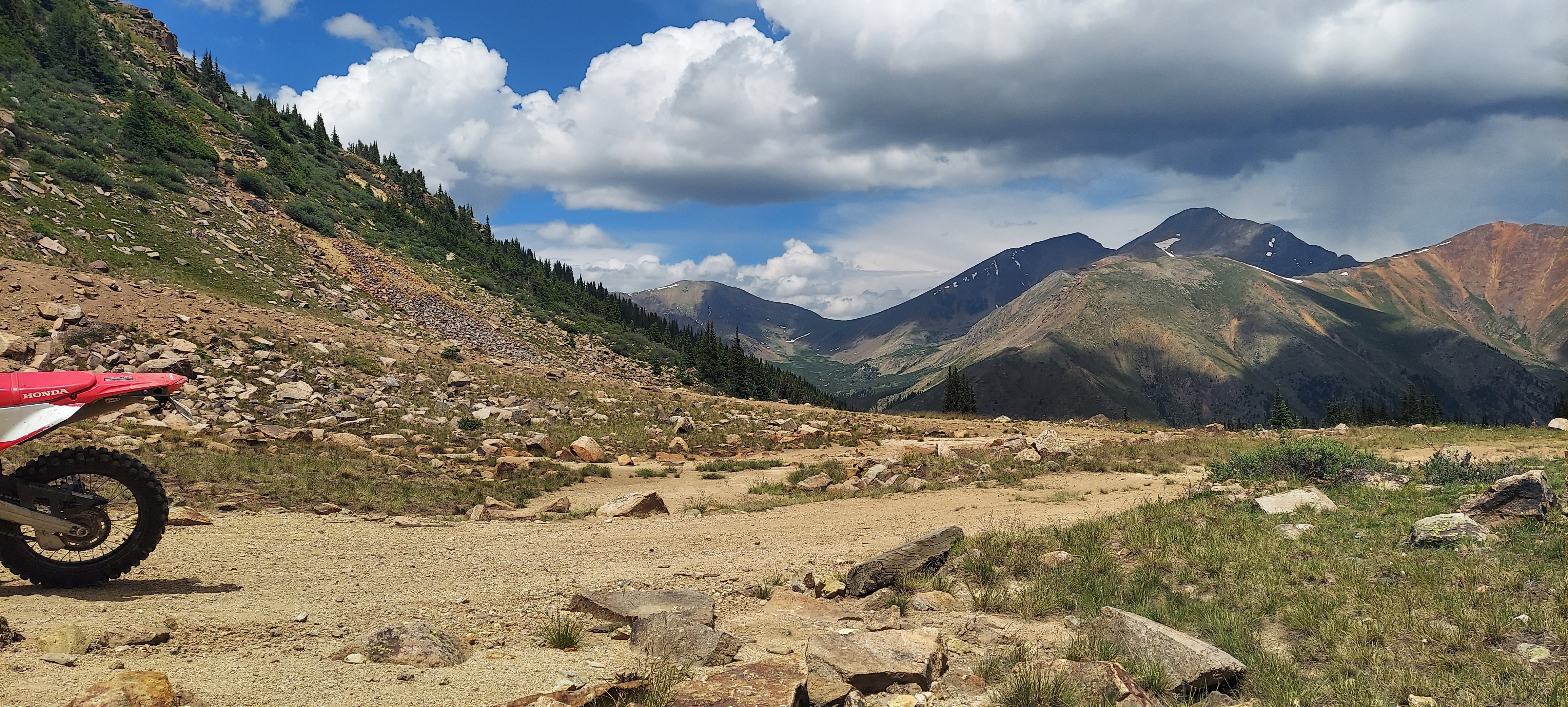
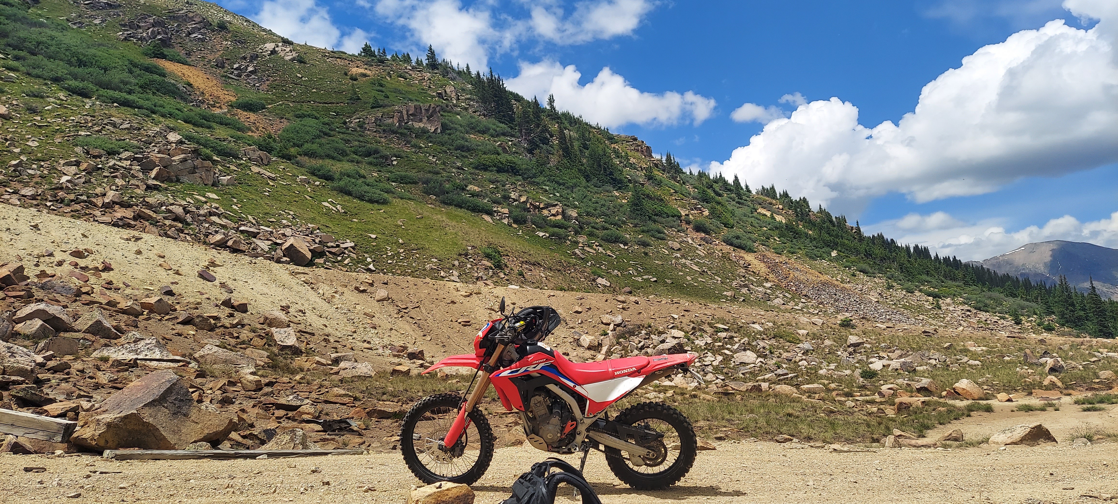
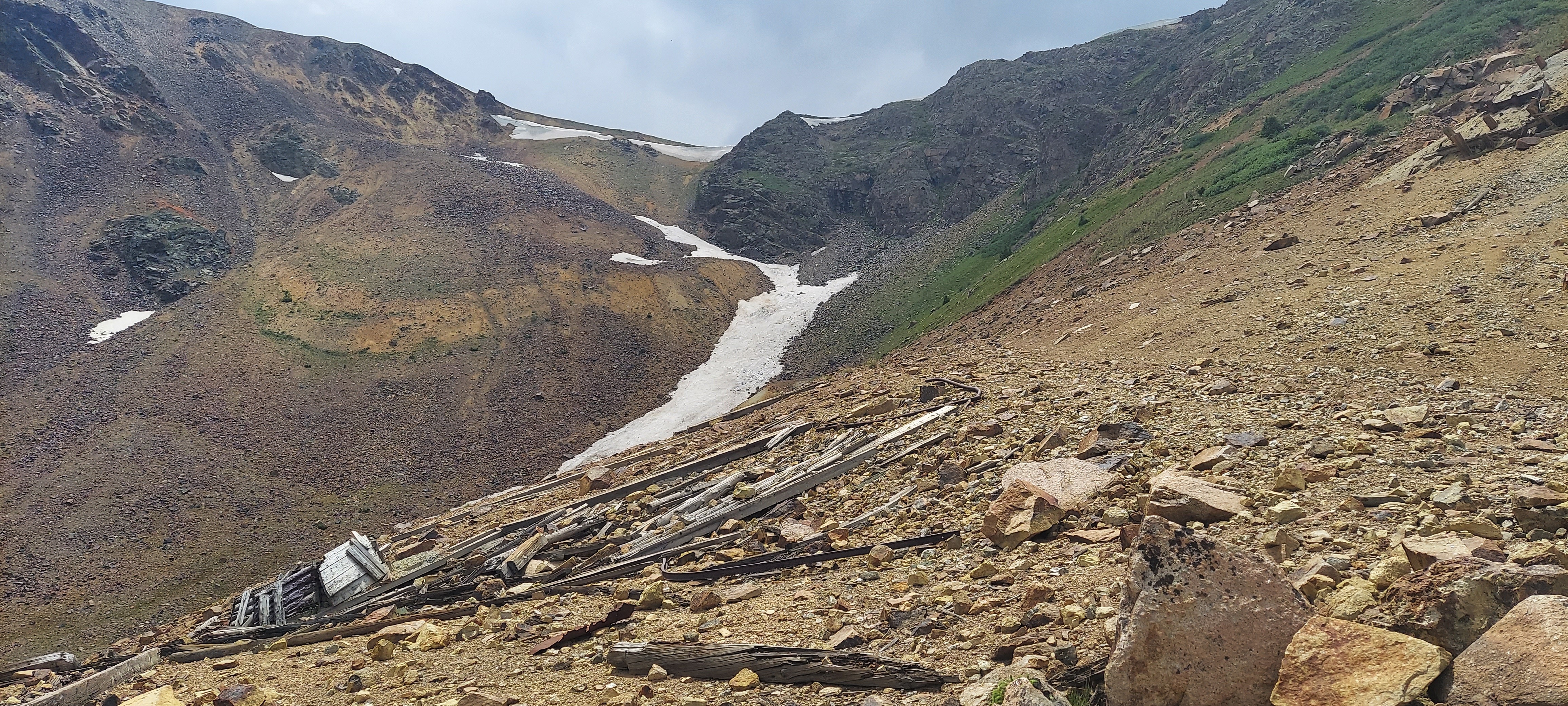
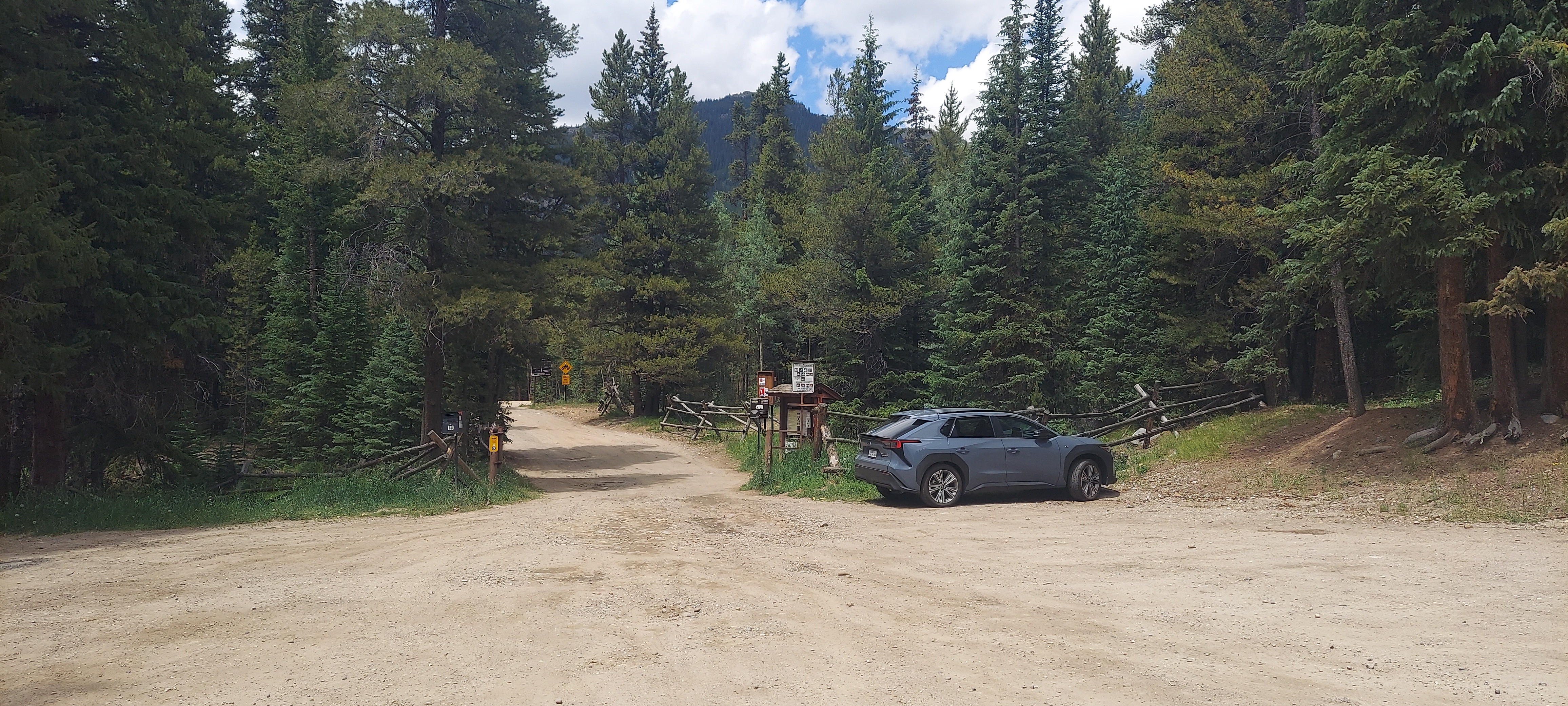
Peru Creek is an OHV tail in Colorado. The nearest town with a gas is Keystone, Colorado. The Peru Creek trail is relatively easy. From that trail you can access Chihuahua Gulch and Warden Gulch. Both are more difficult OHV trails wide enough for a 4WD vehicle. Warden Gulch in particular has a very steep grade and trail seems to be mostly basketball sized rocks. There are various mines and mining equipment in the area that is worth looking at. On my Honda CRF300L I was able to ride to the end of the trail near each summit without an issue. Most of the hillclimb is spent at wide open throttle in 2nd gear.
Links
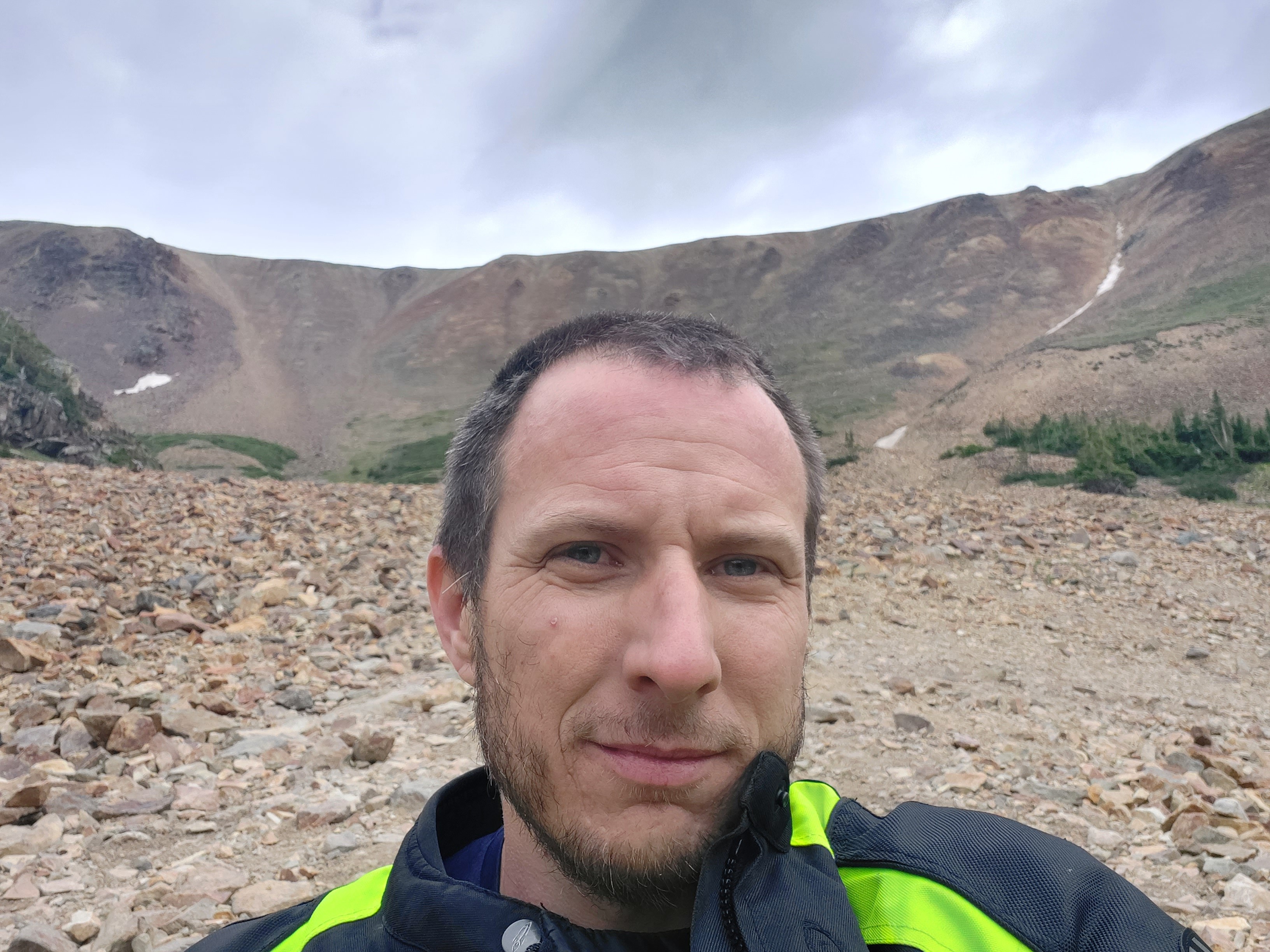
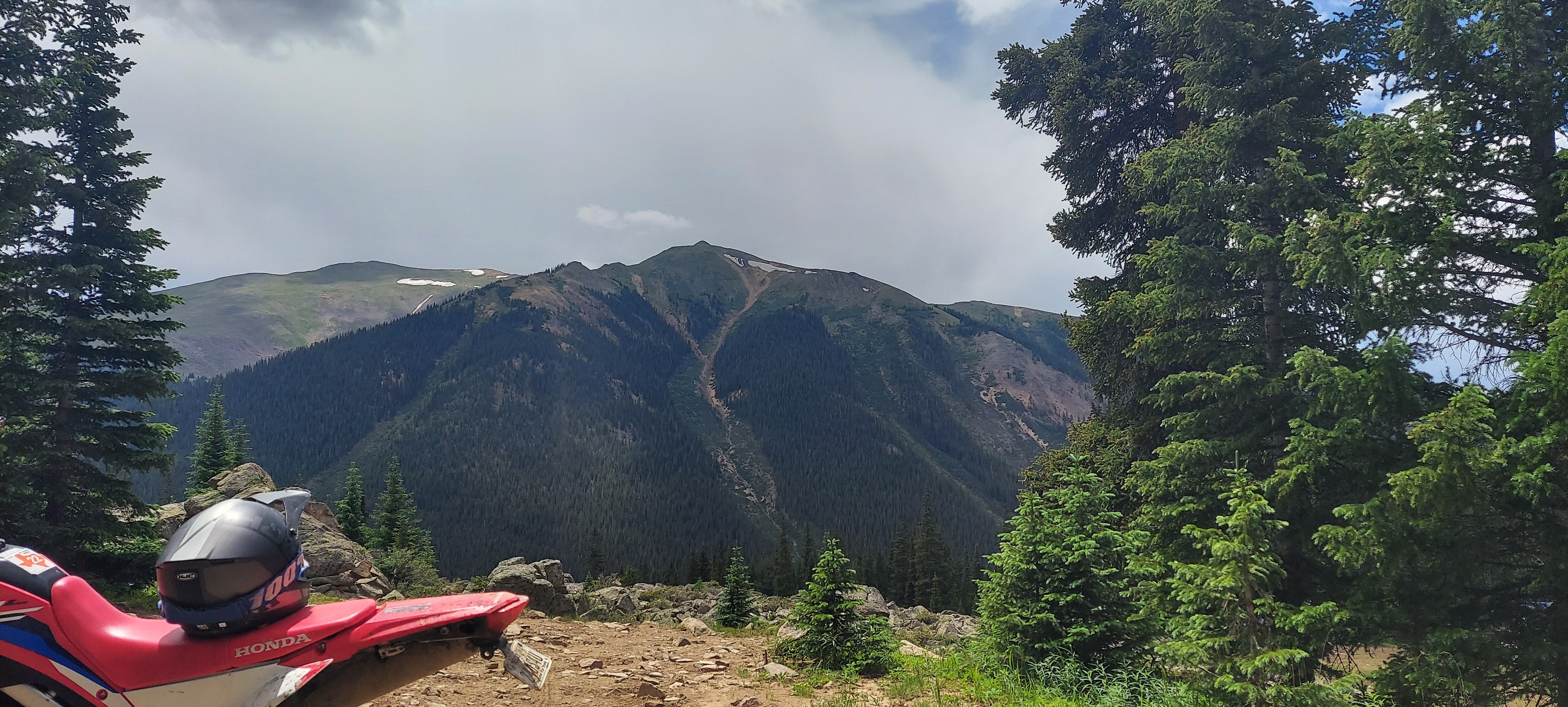
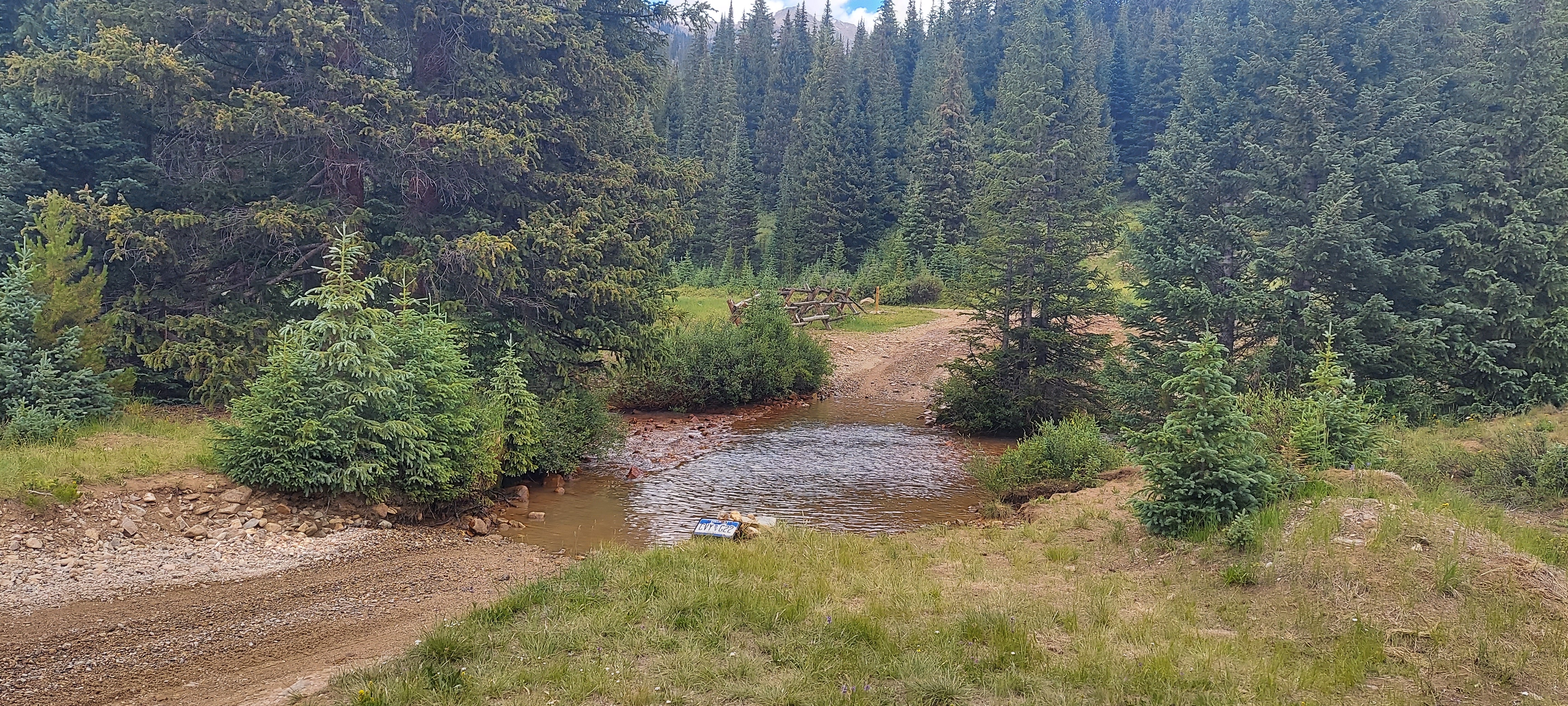
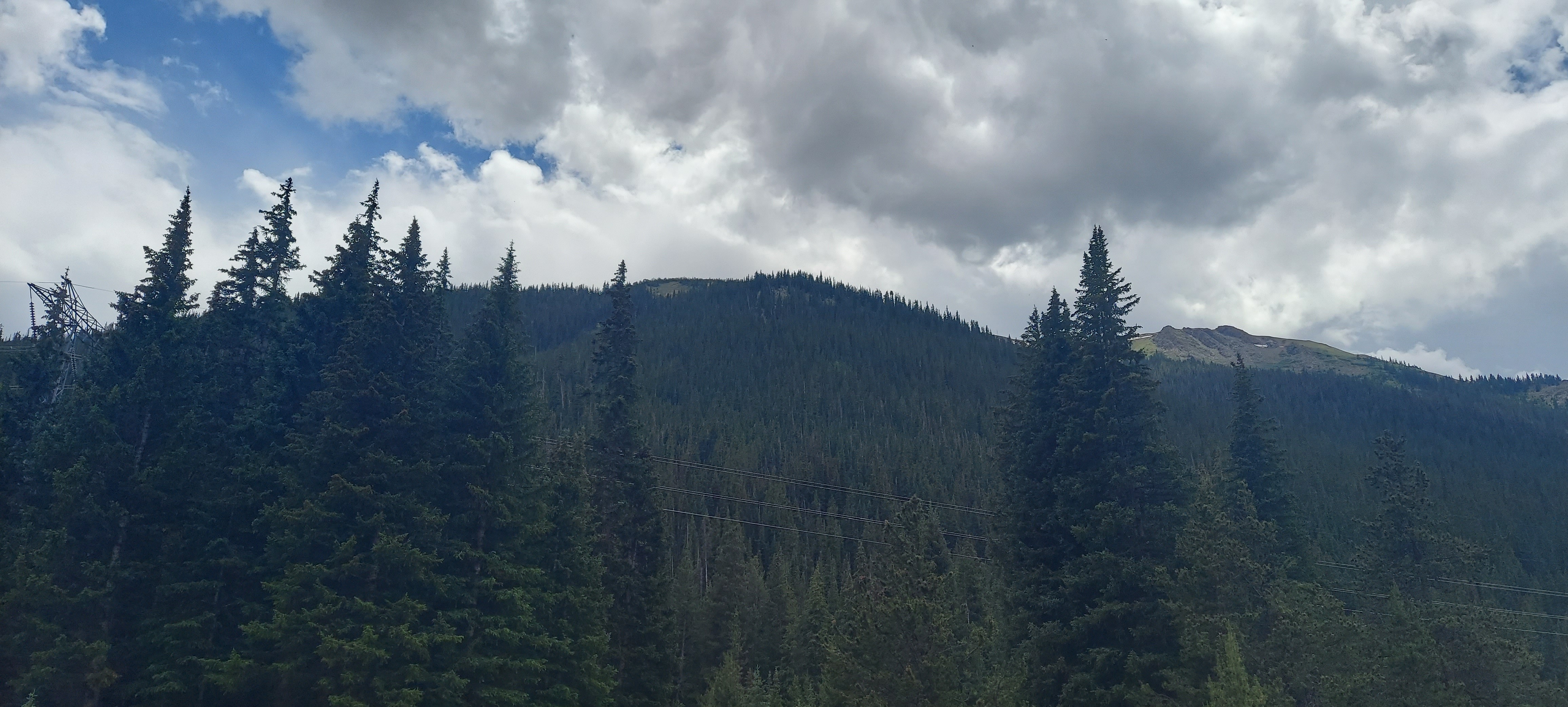
Taken with samsung SM-A716U1
Timestamp: 2024:07:19 16:29:12
39.5995769722222 N 105.975042972222 W
View on GeoHackAltitude 2835.9 meters

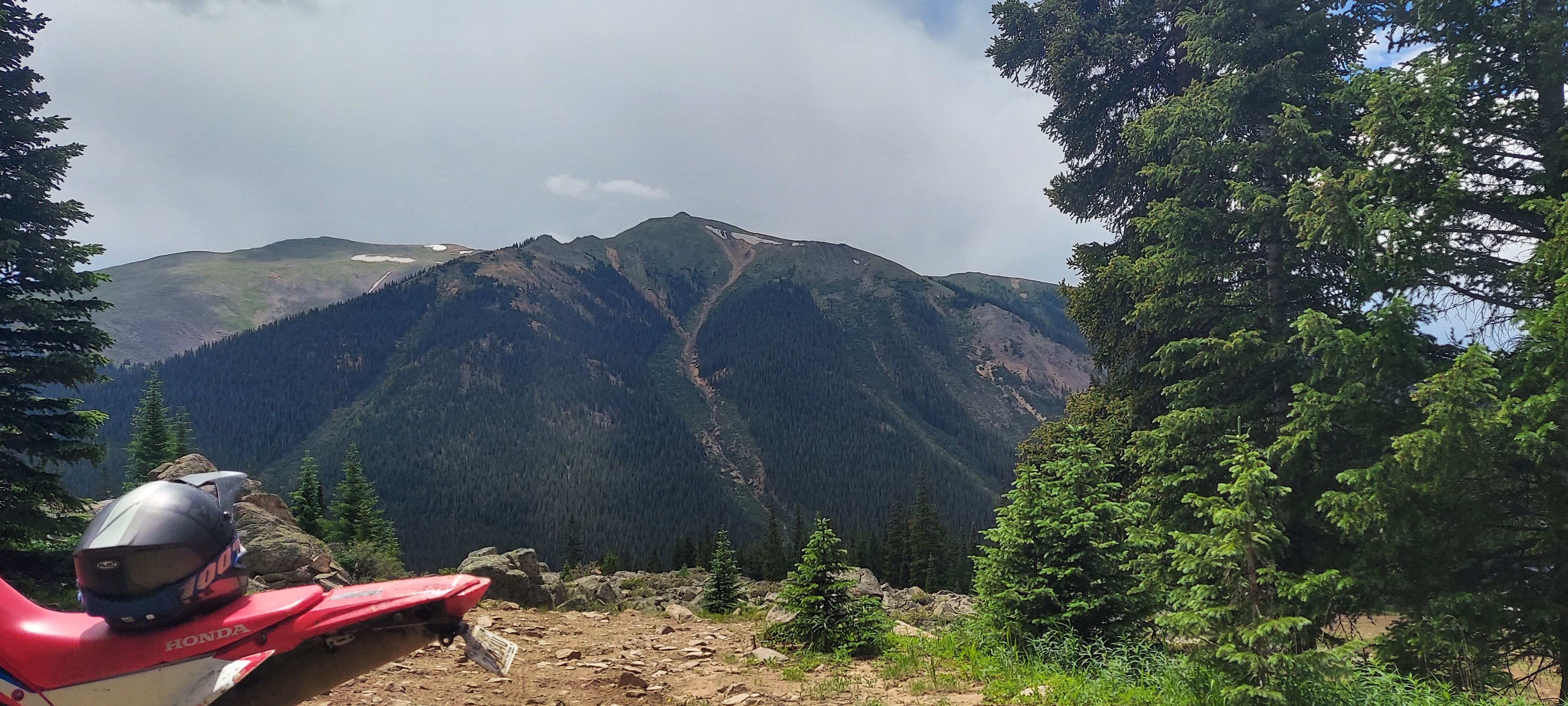
Taken with samsung SM-A716U1
Timestamp: 2024:07:19 16:29:12
39.5995769722222 N 105.975042972222 W
View on GeoHackAltitude 2835.9 meters

.jpg)
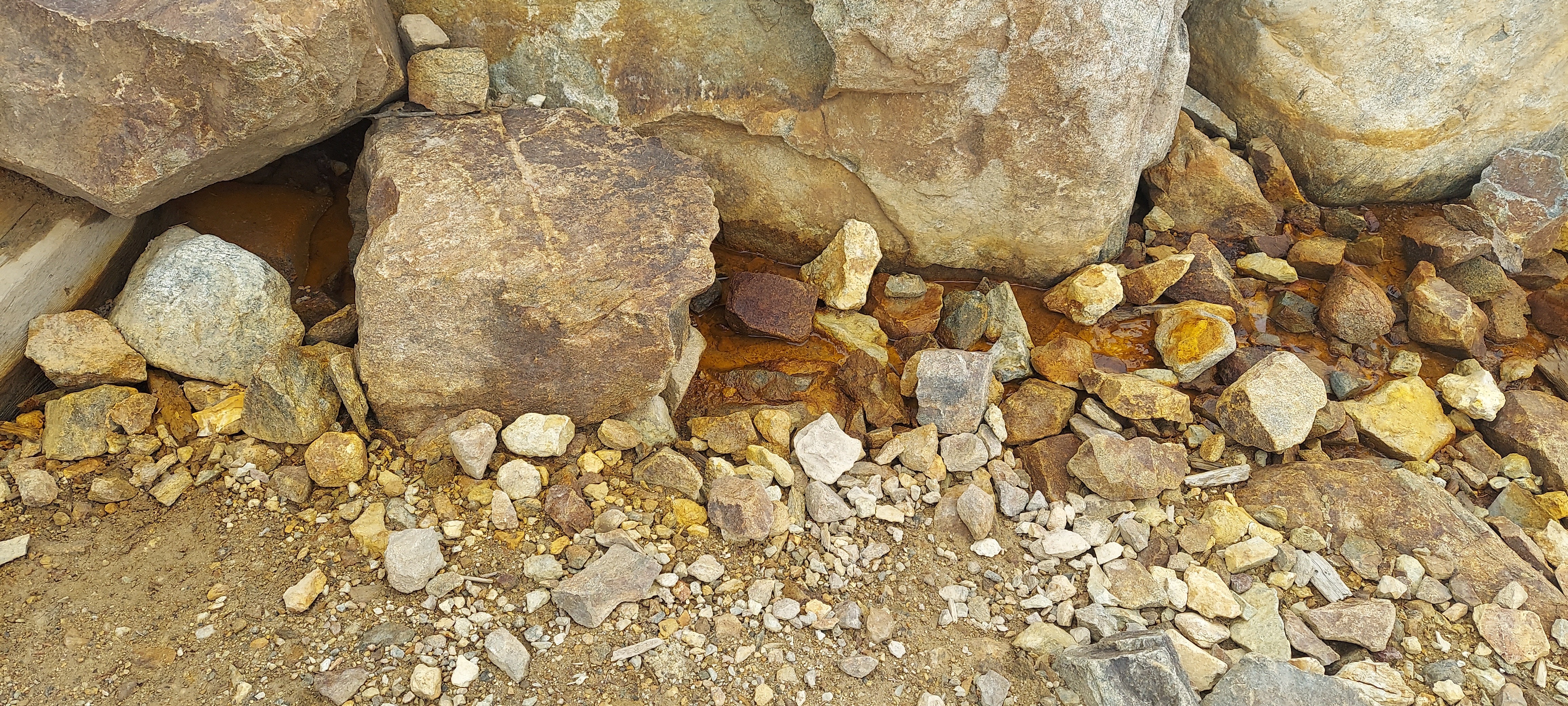
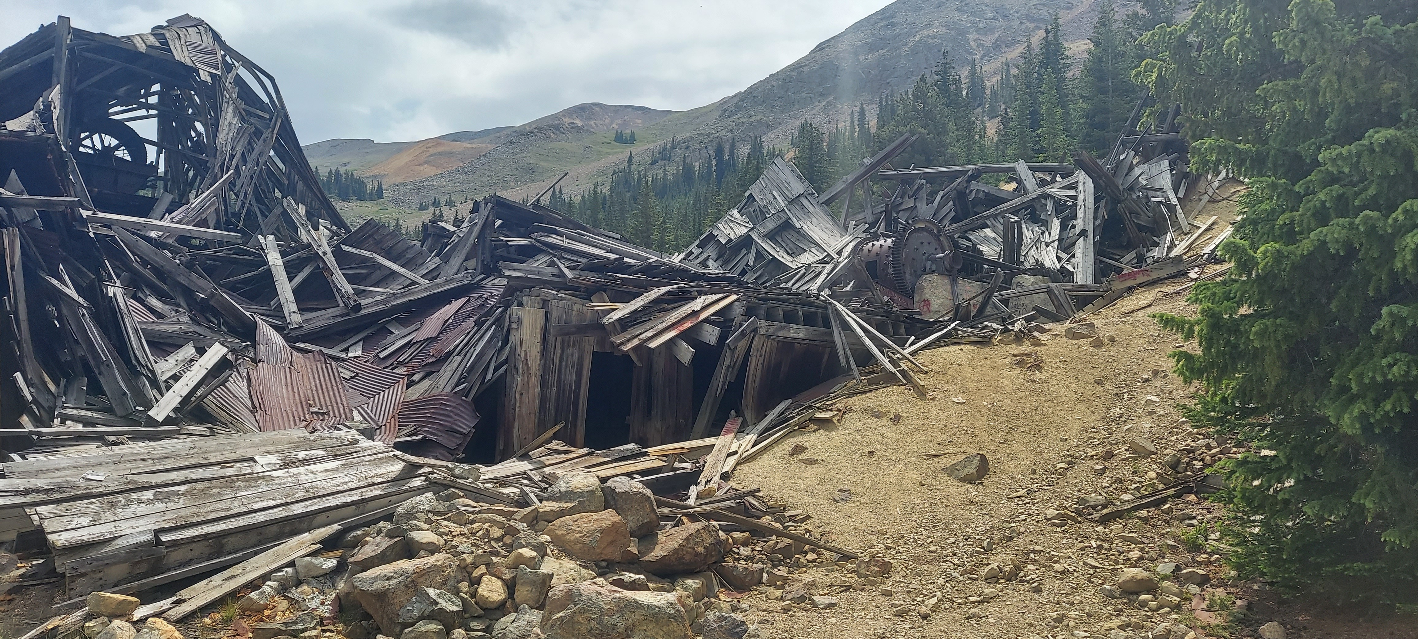
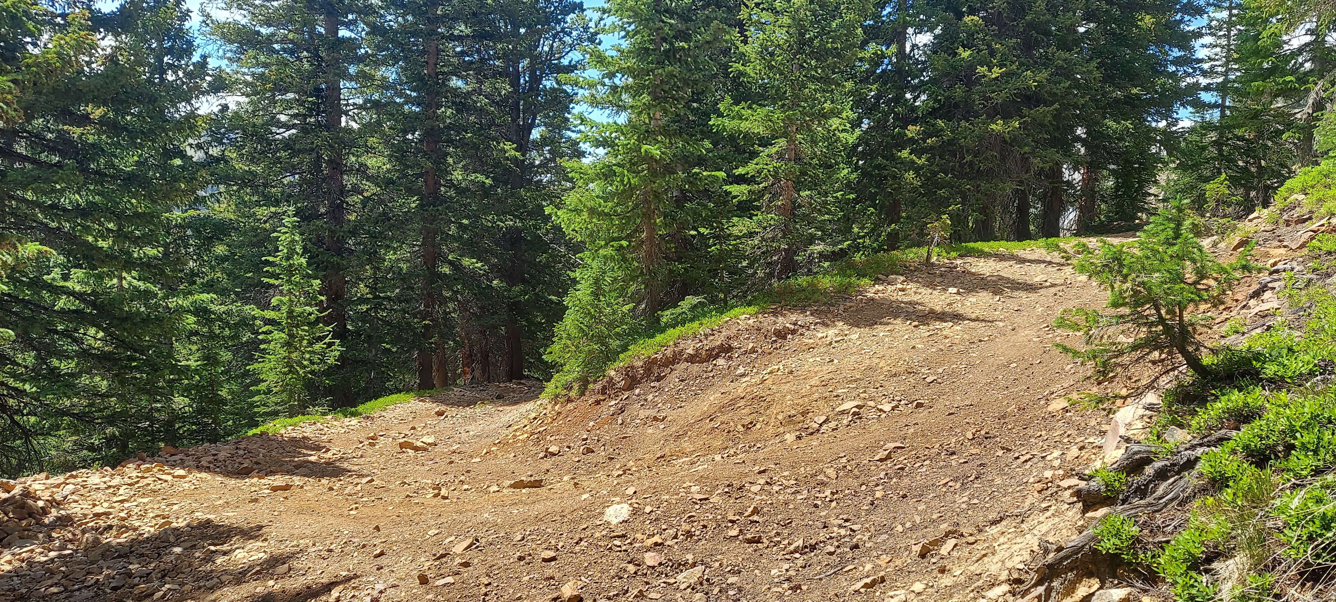
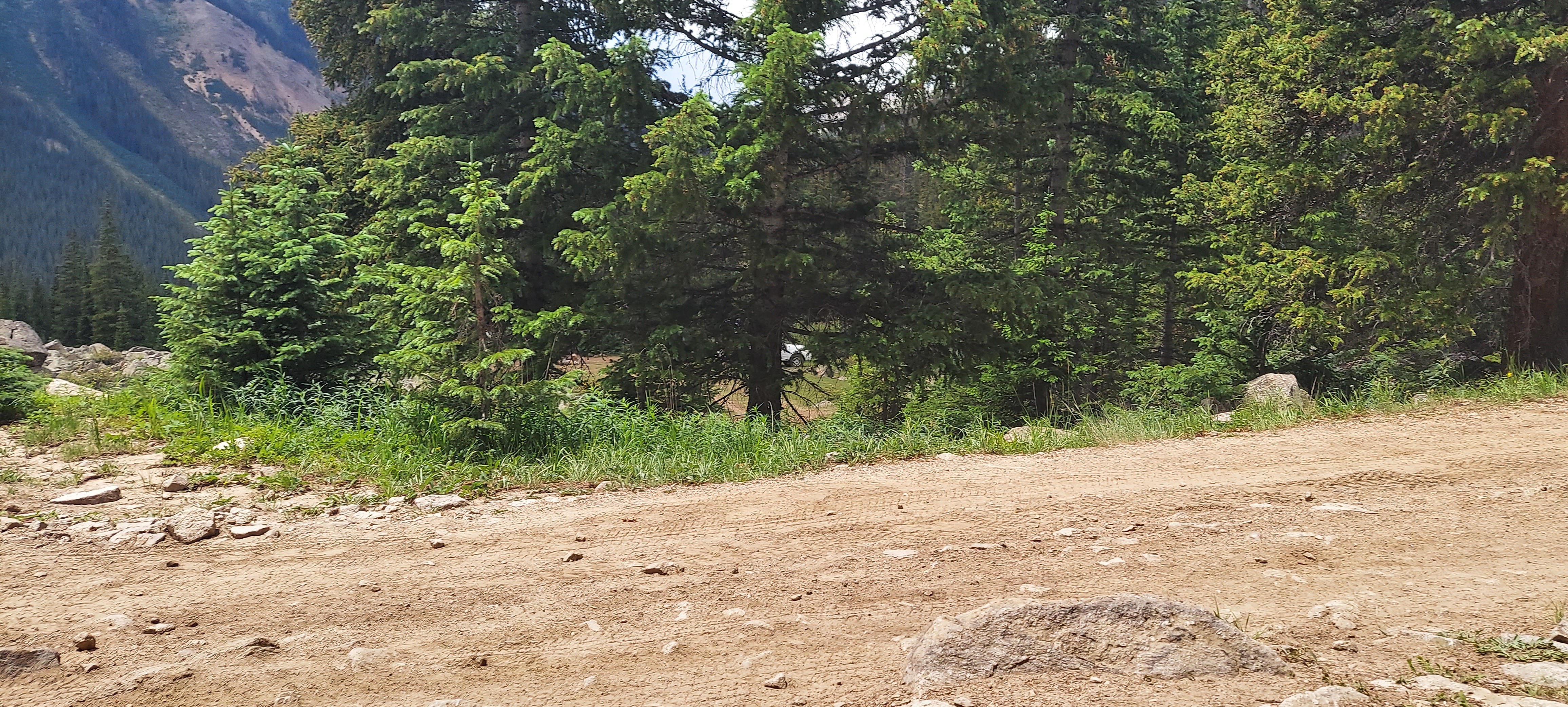
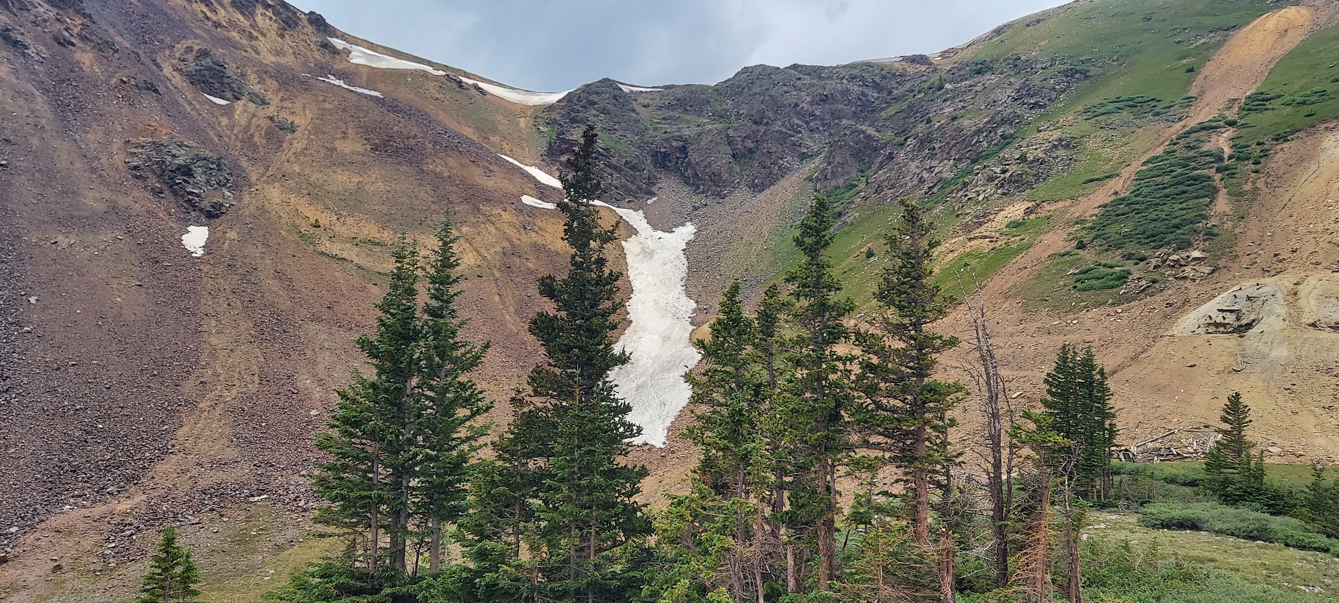
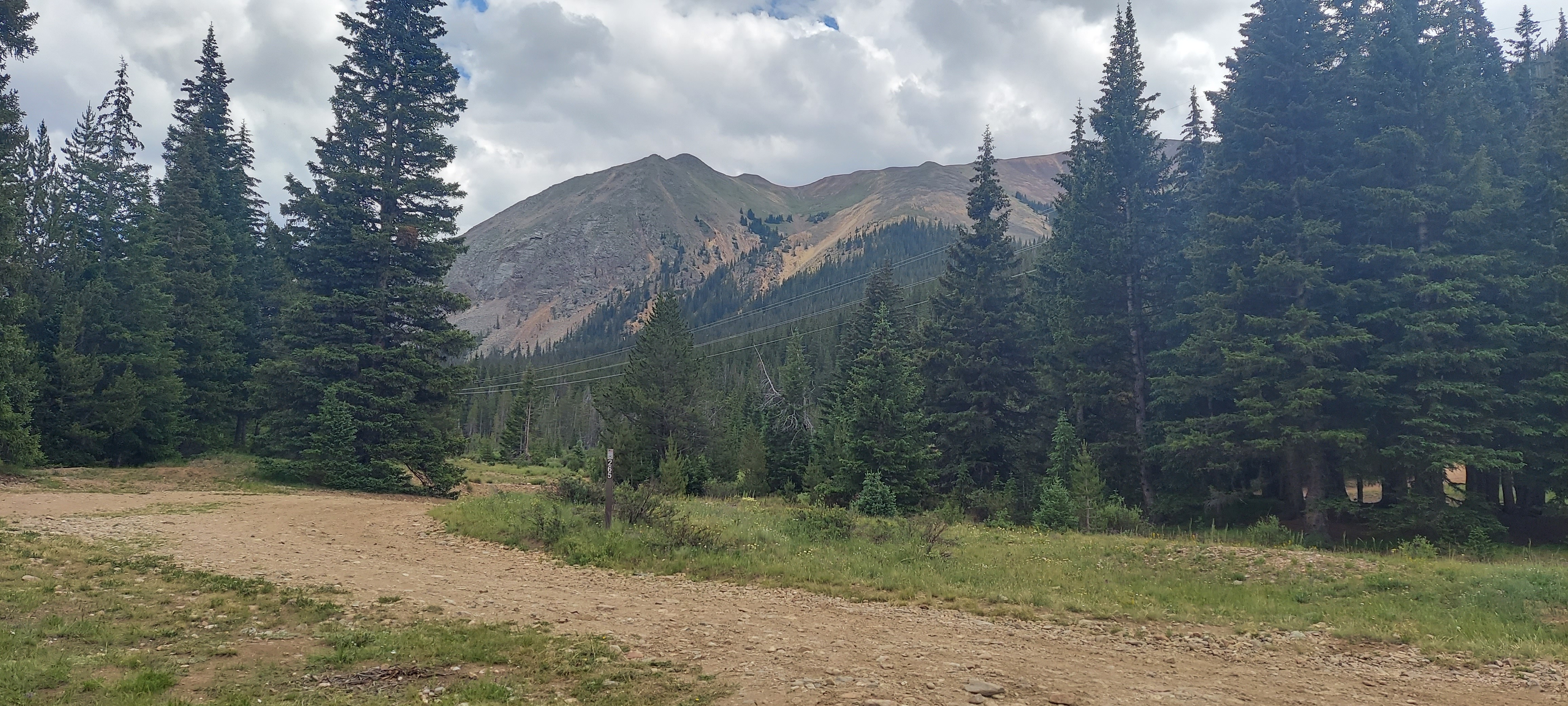
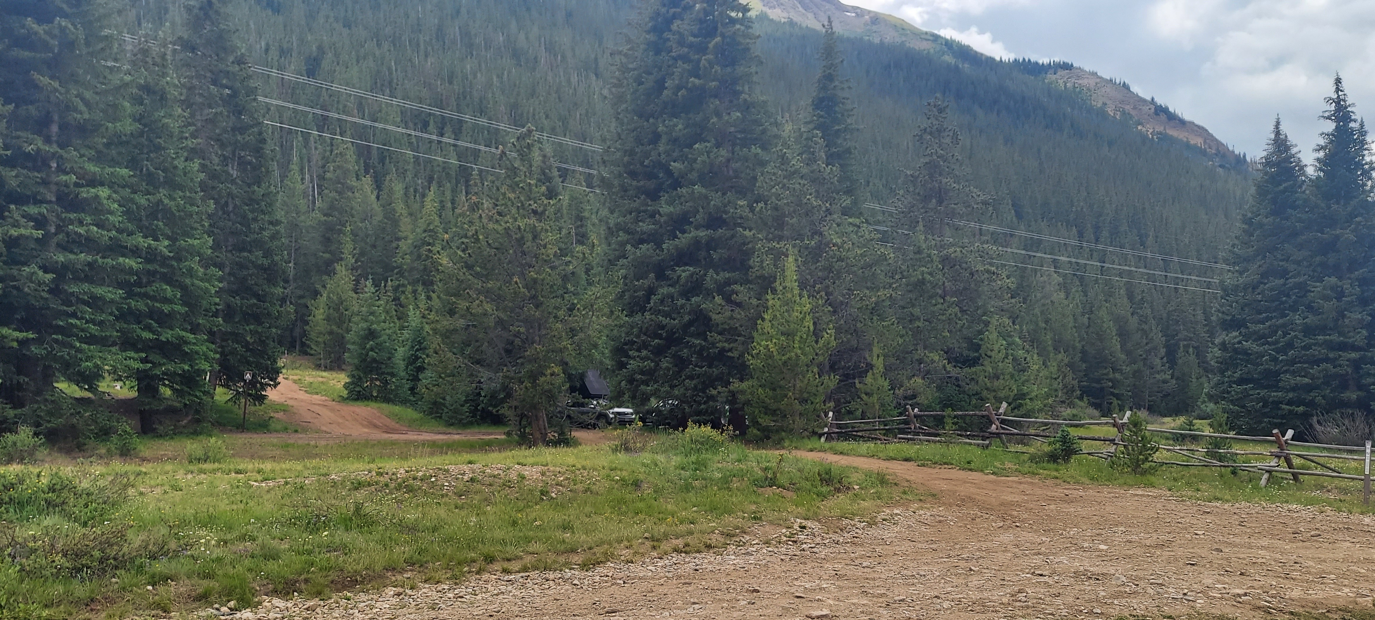
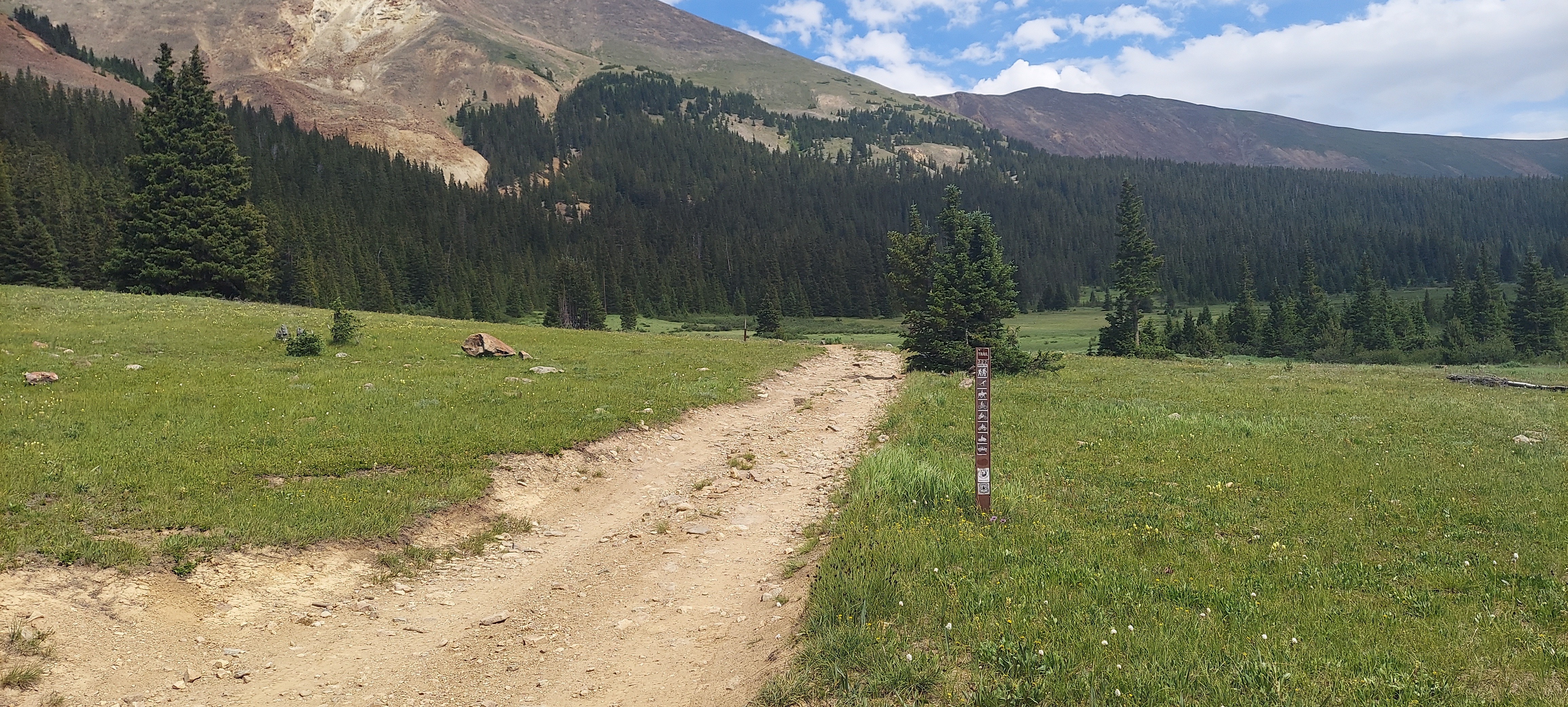
Taken with samsung SM-A716U1
39.6001175997222 N 105.813544699722 W
View on GeoHackAltitude 3285.0 meters
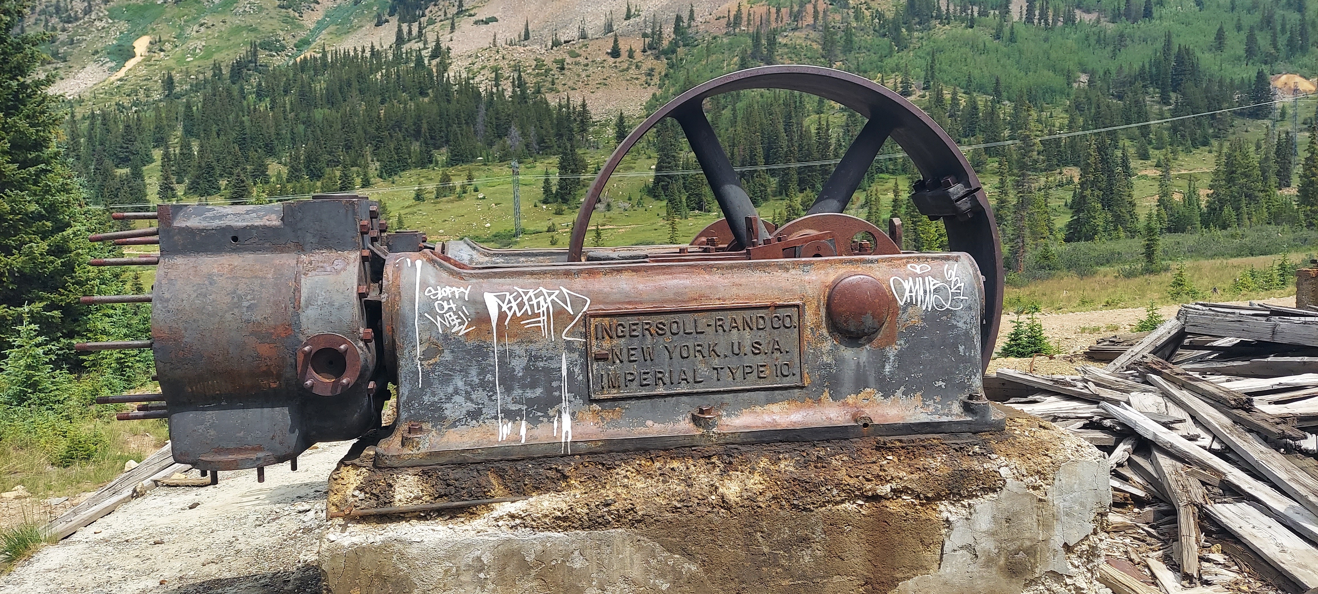
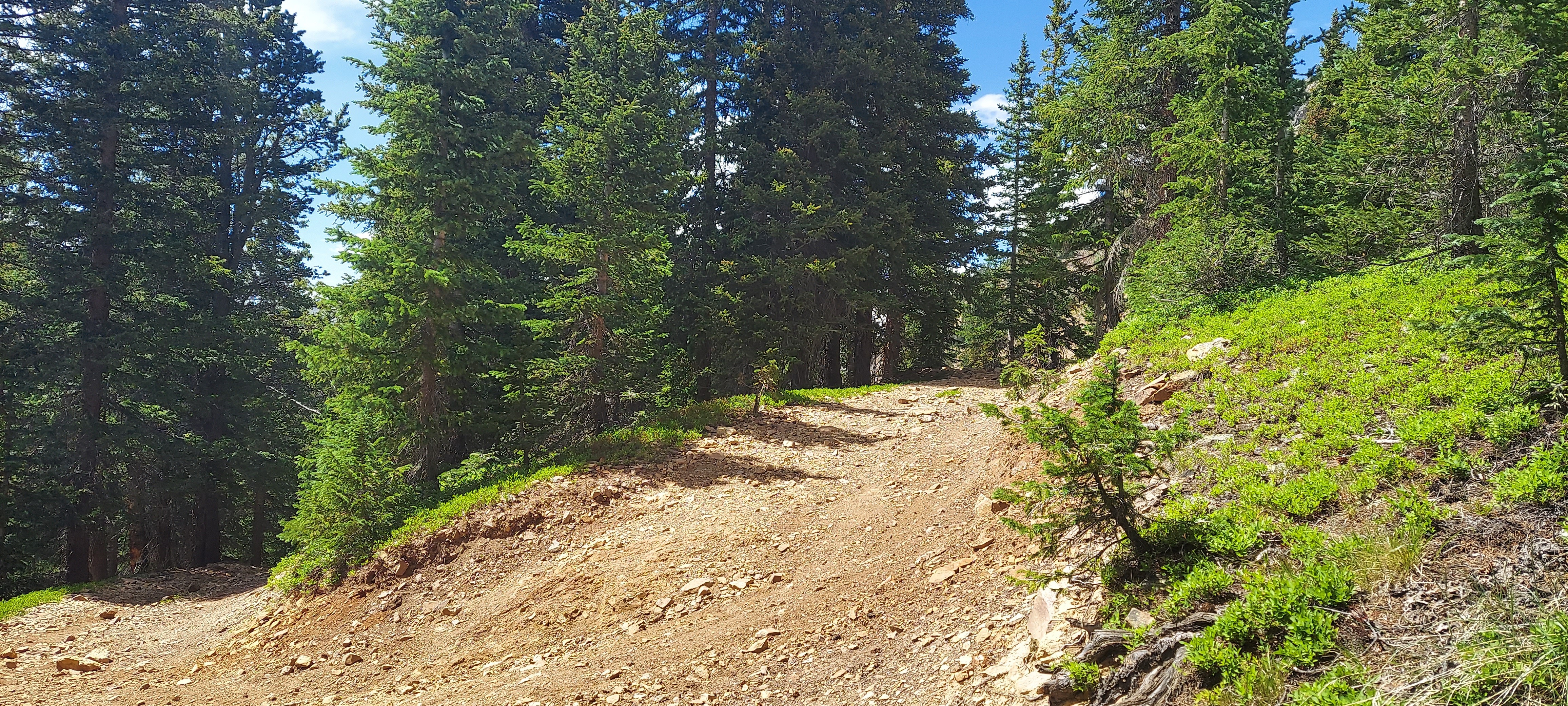
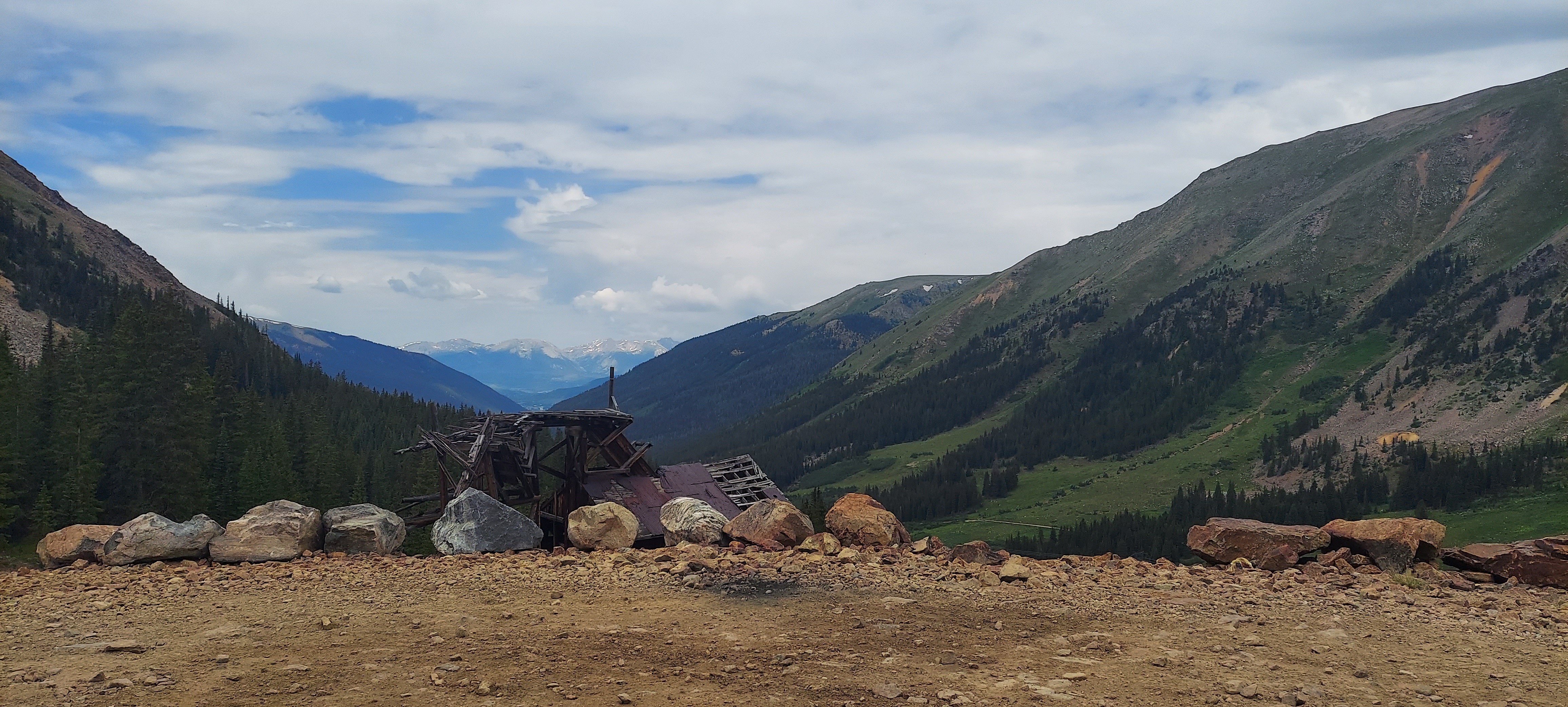
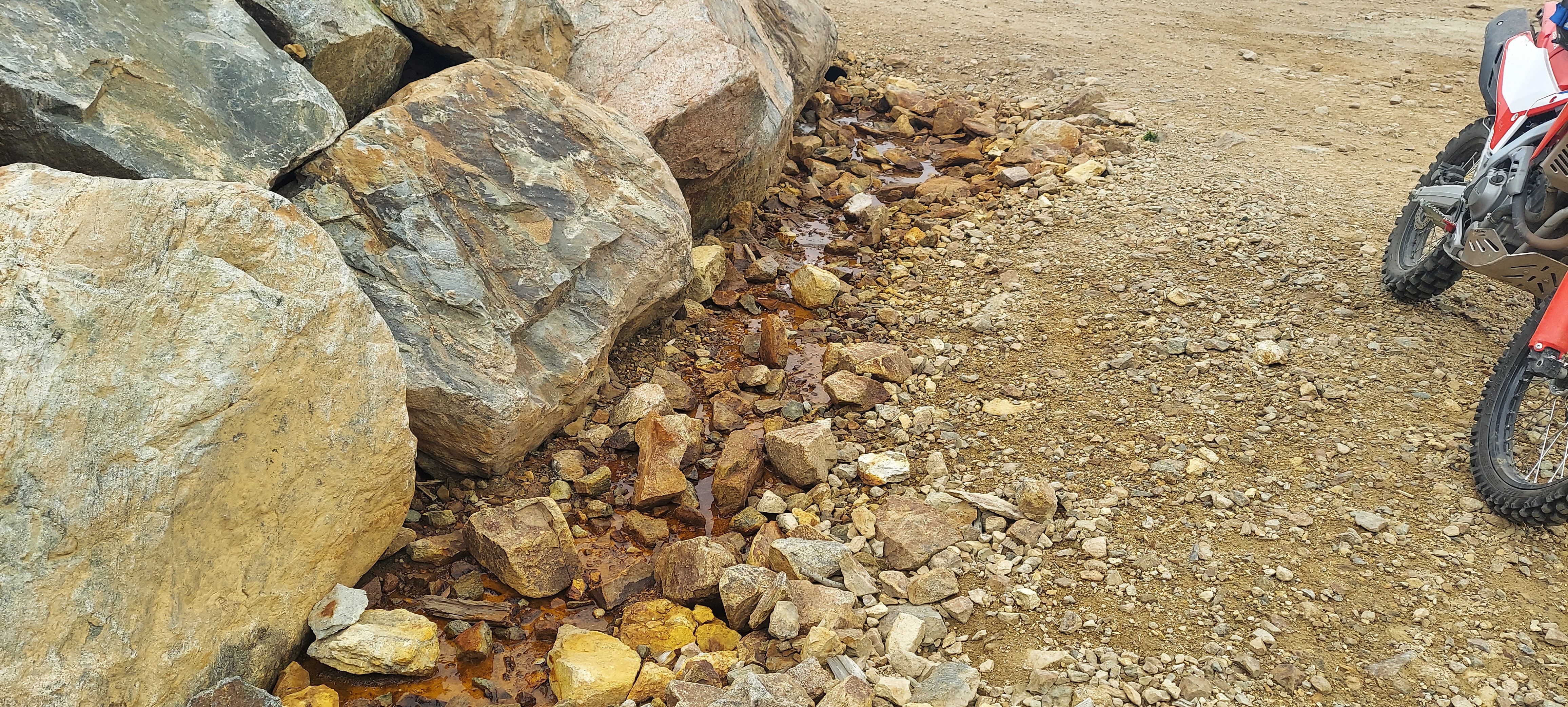
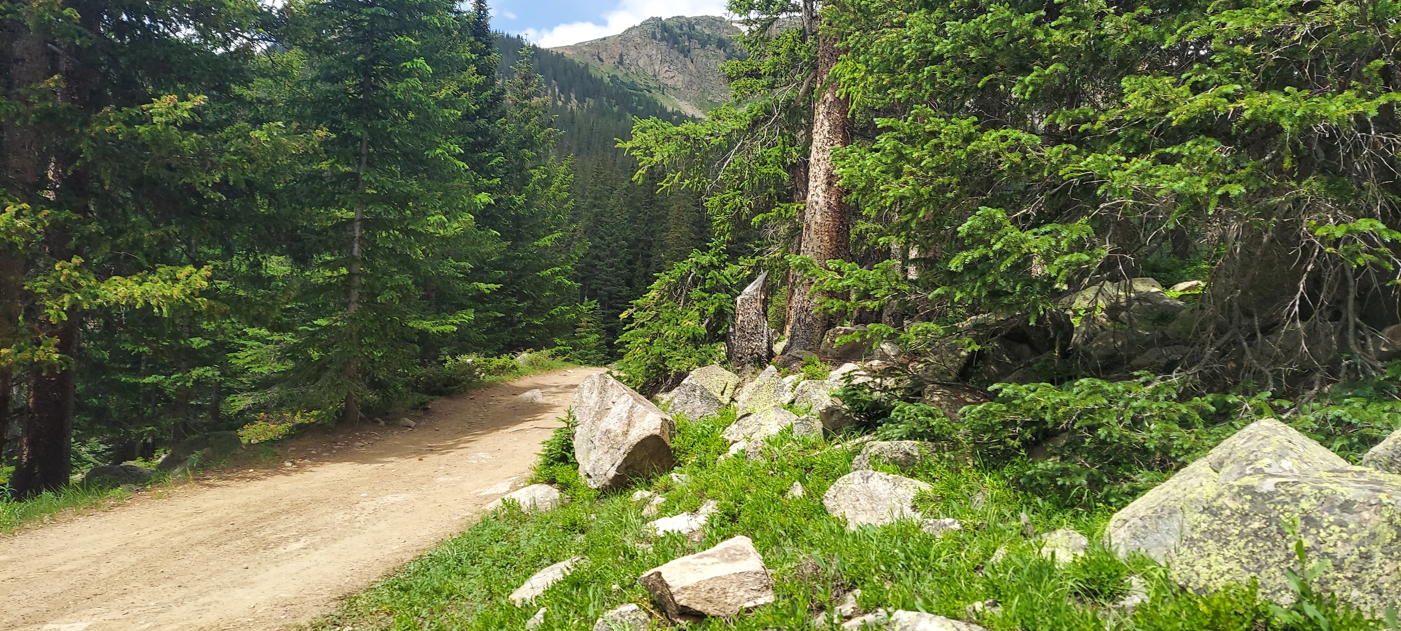
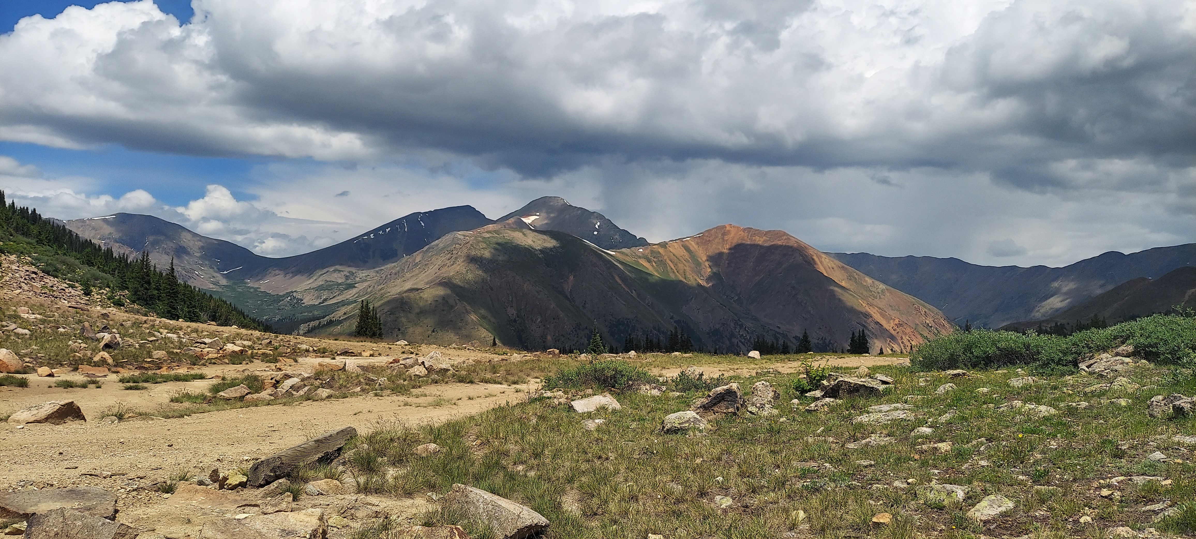
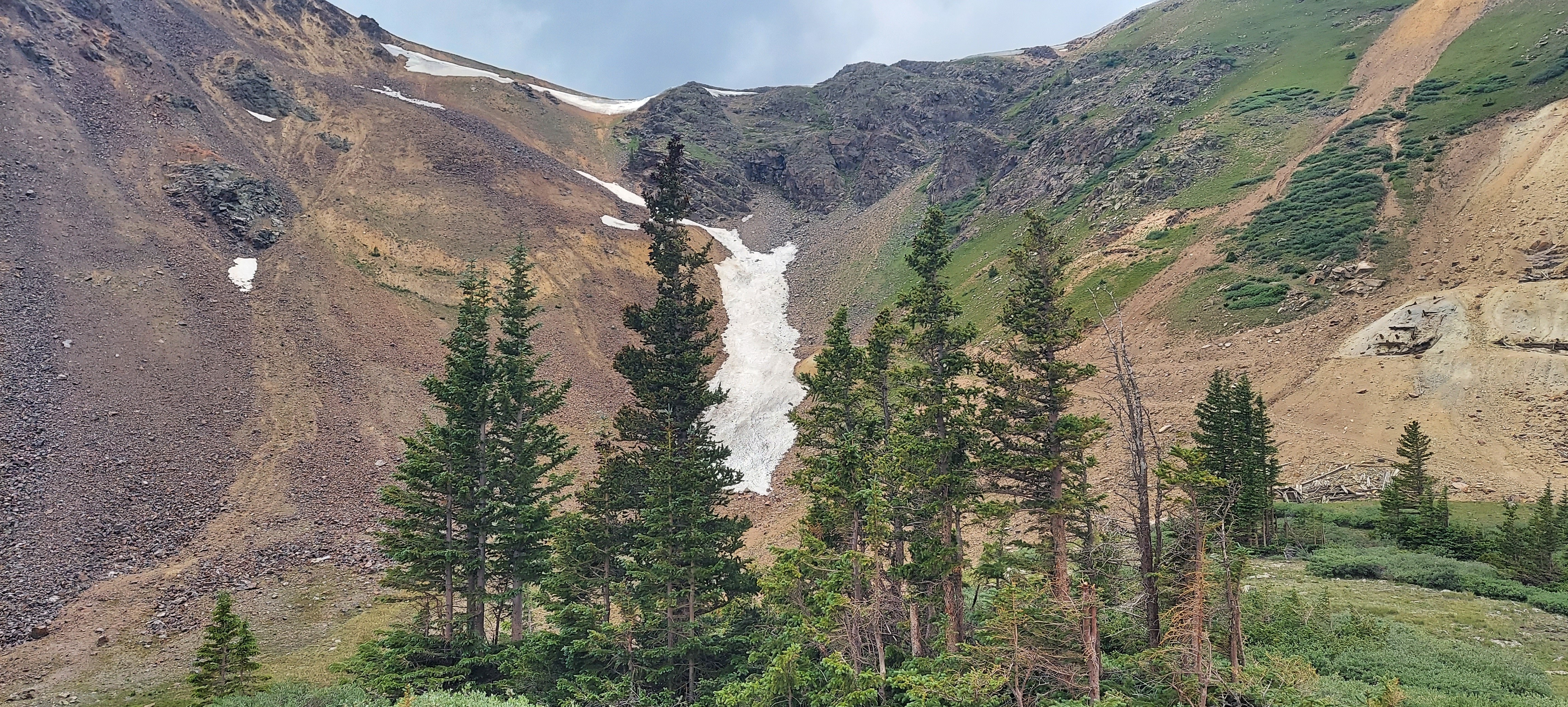
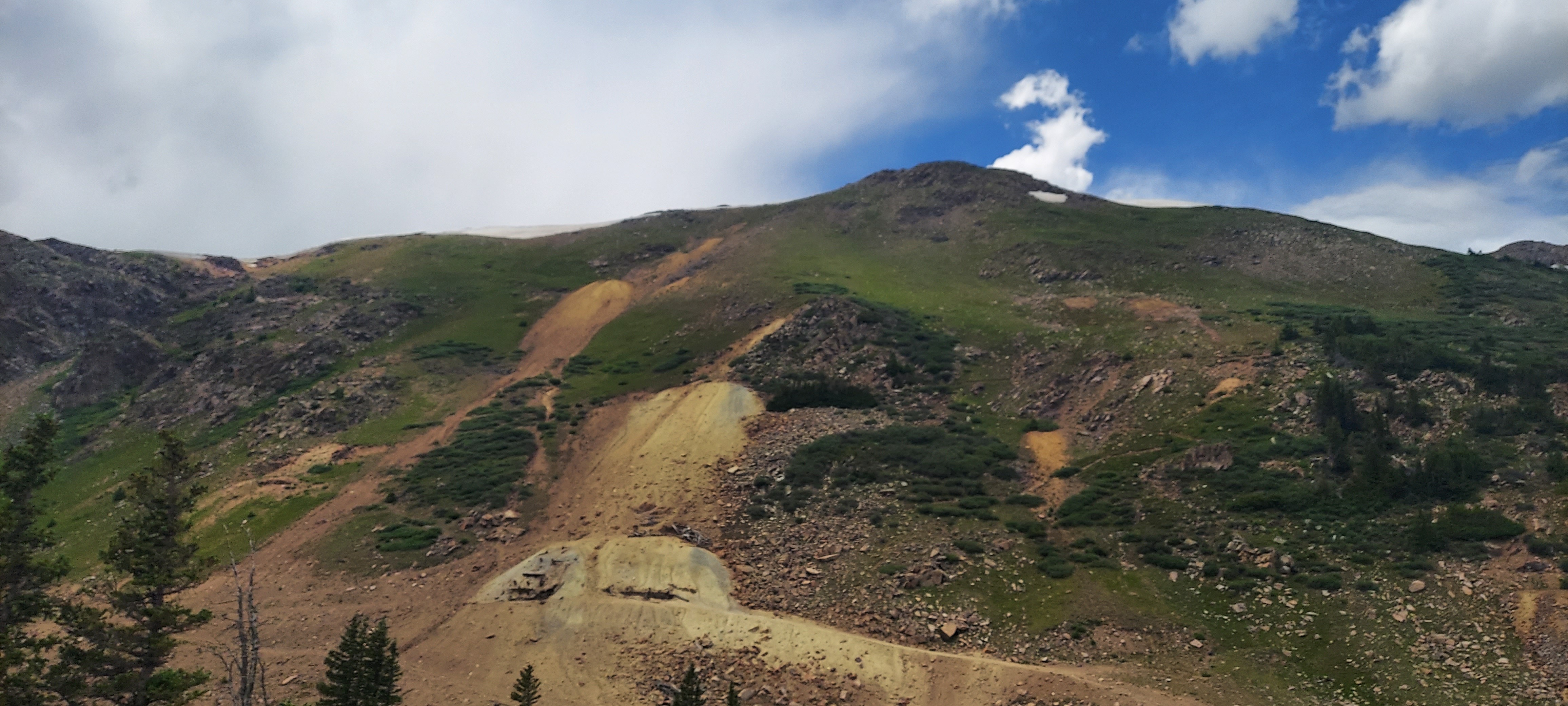
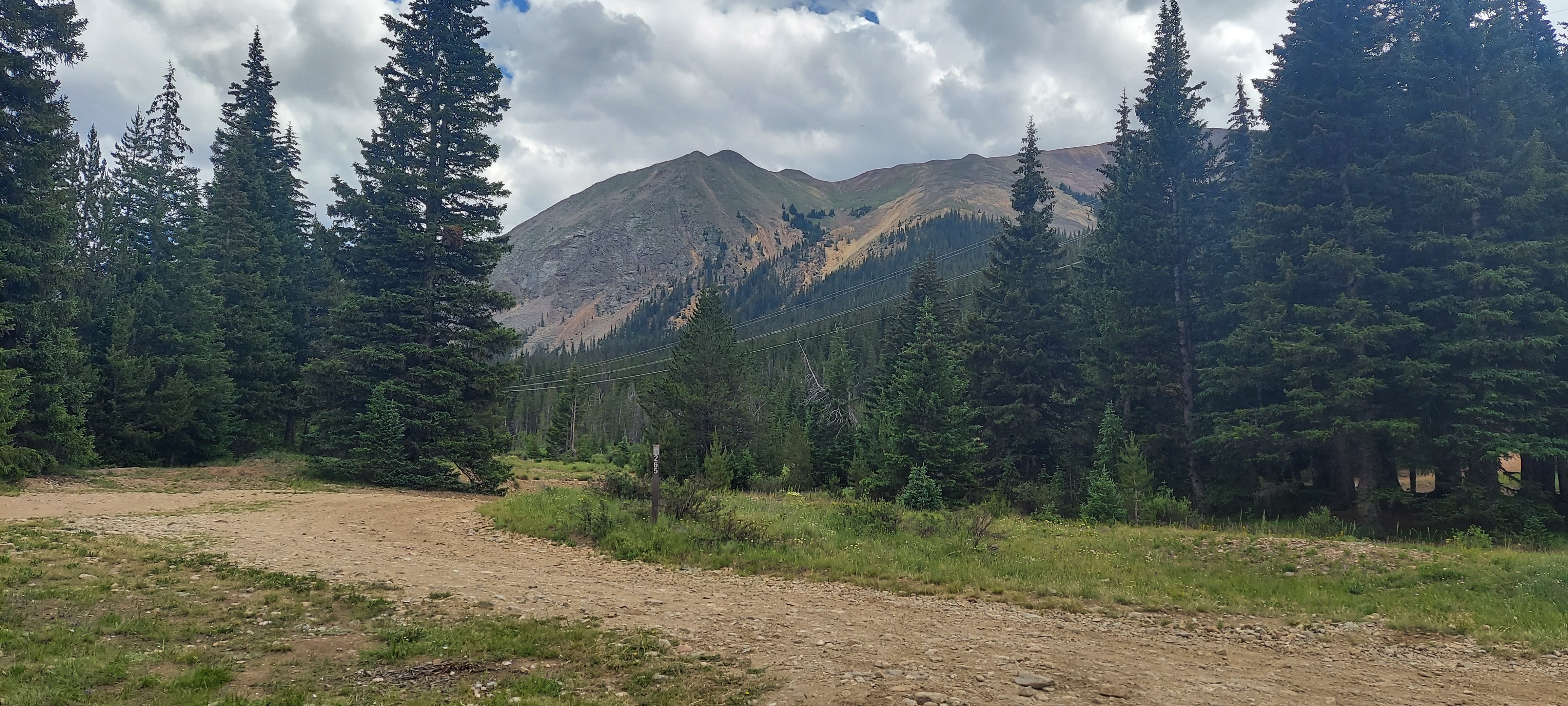
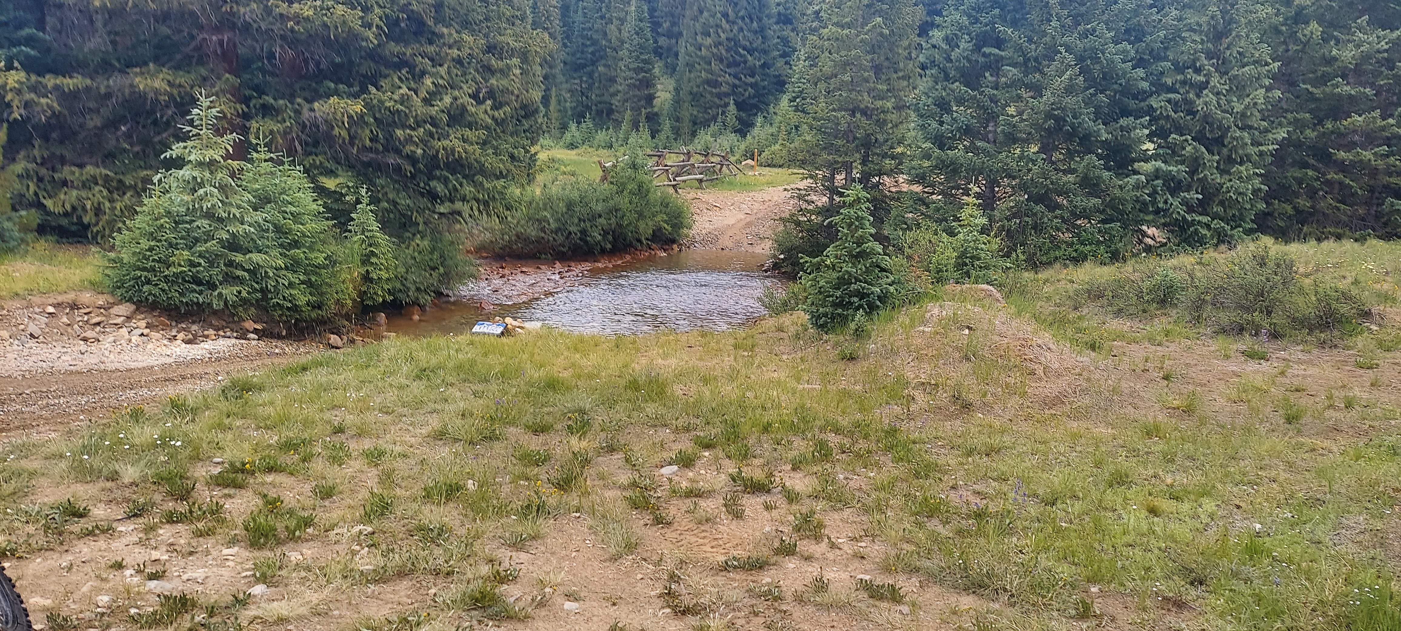
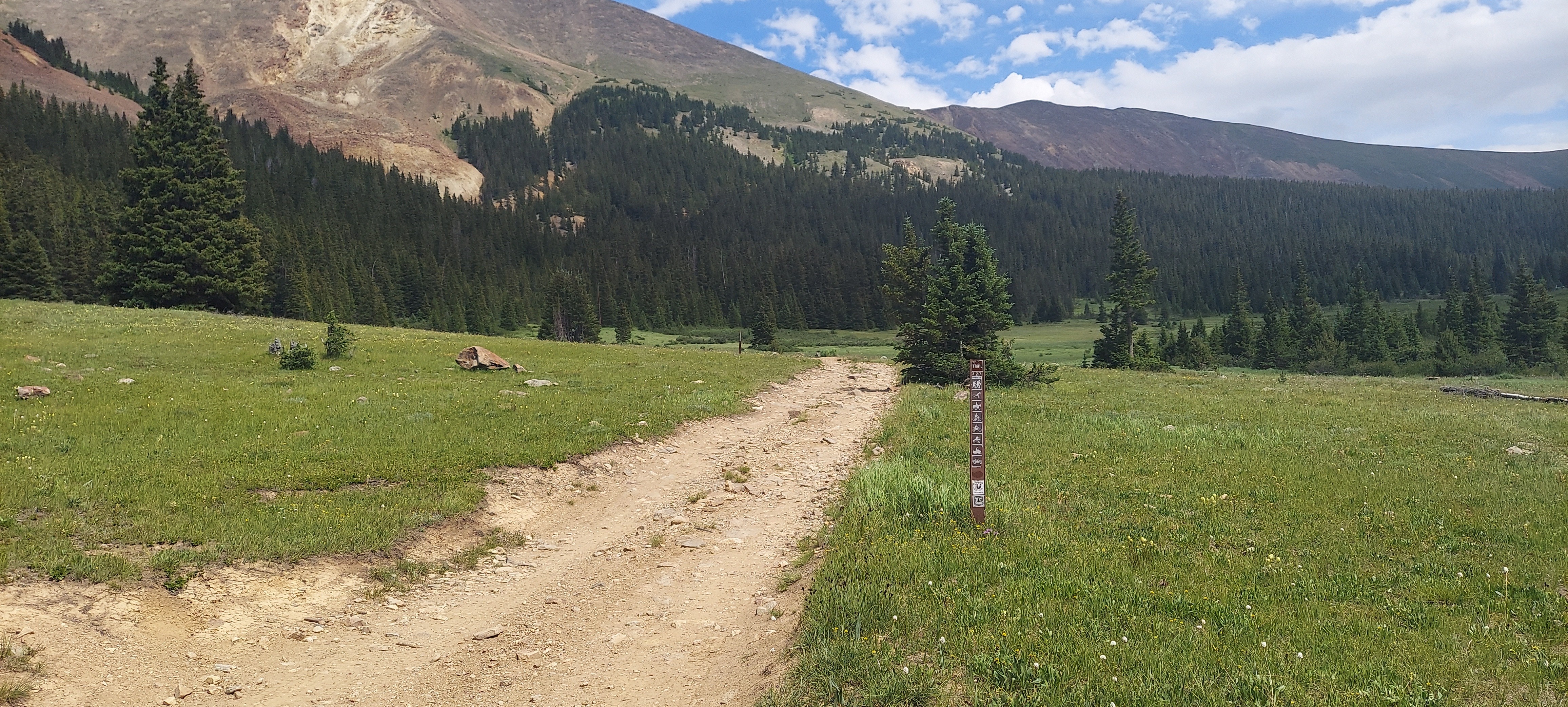
Taken with samsung SM-A716U1
39.6000684997222 N 105.813535999722 W
View on GeoHackAltitude 3283.0 meters
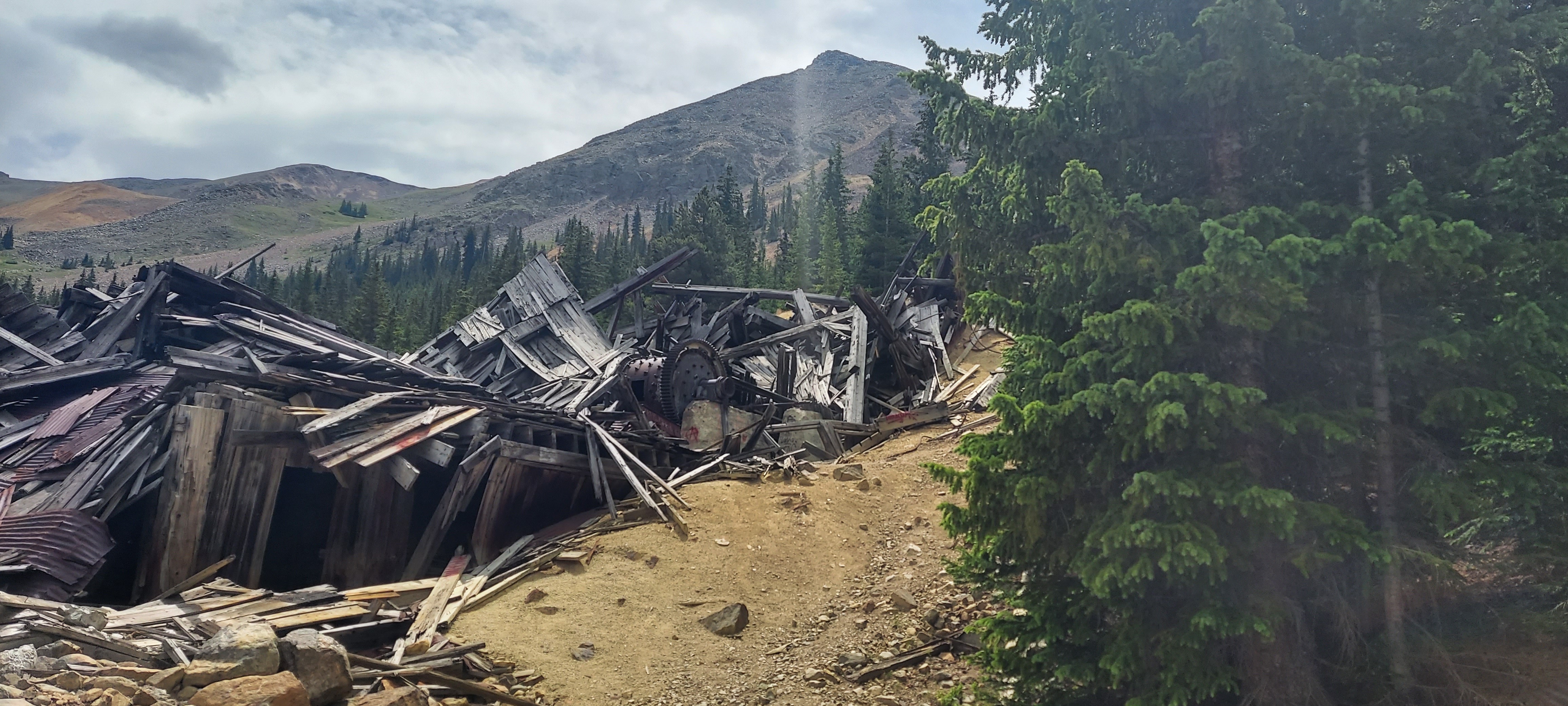
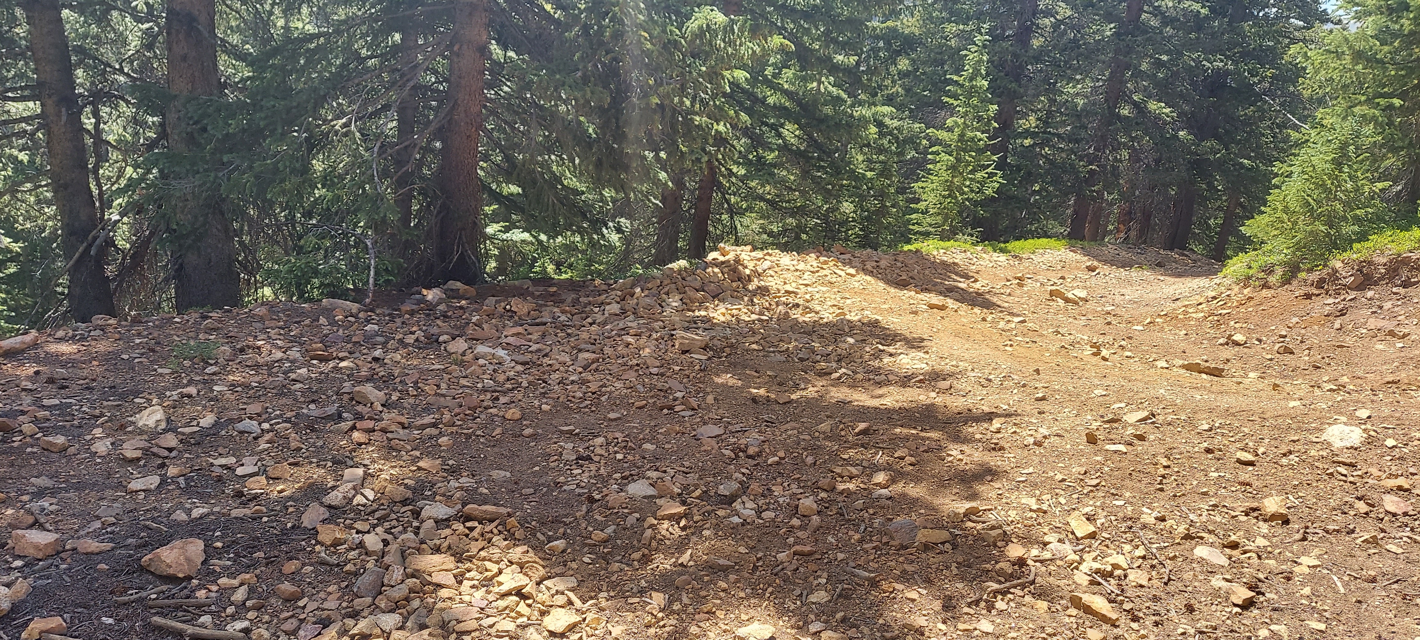
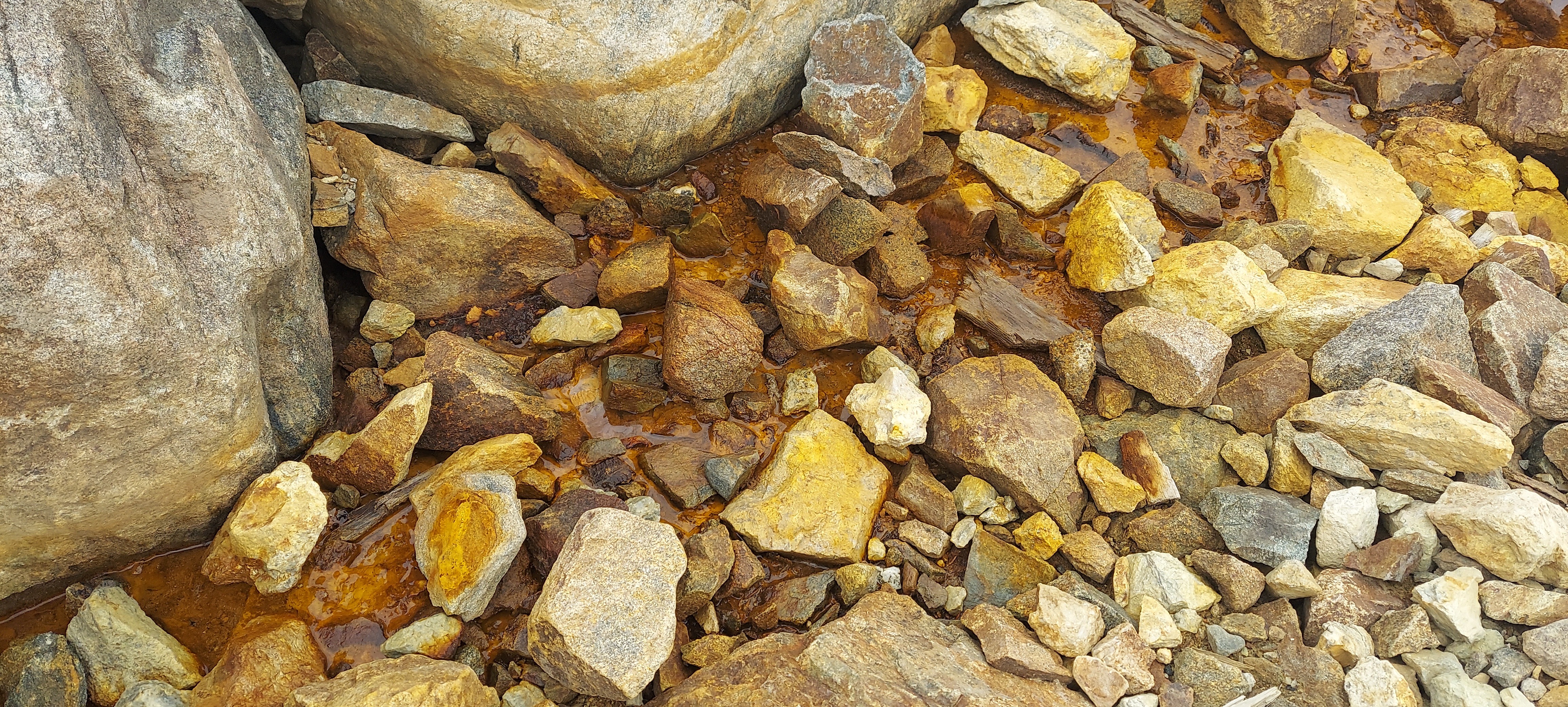
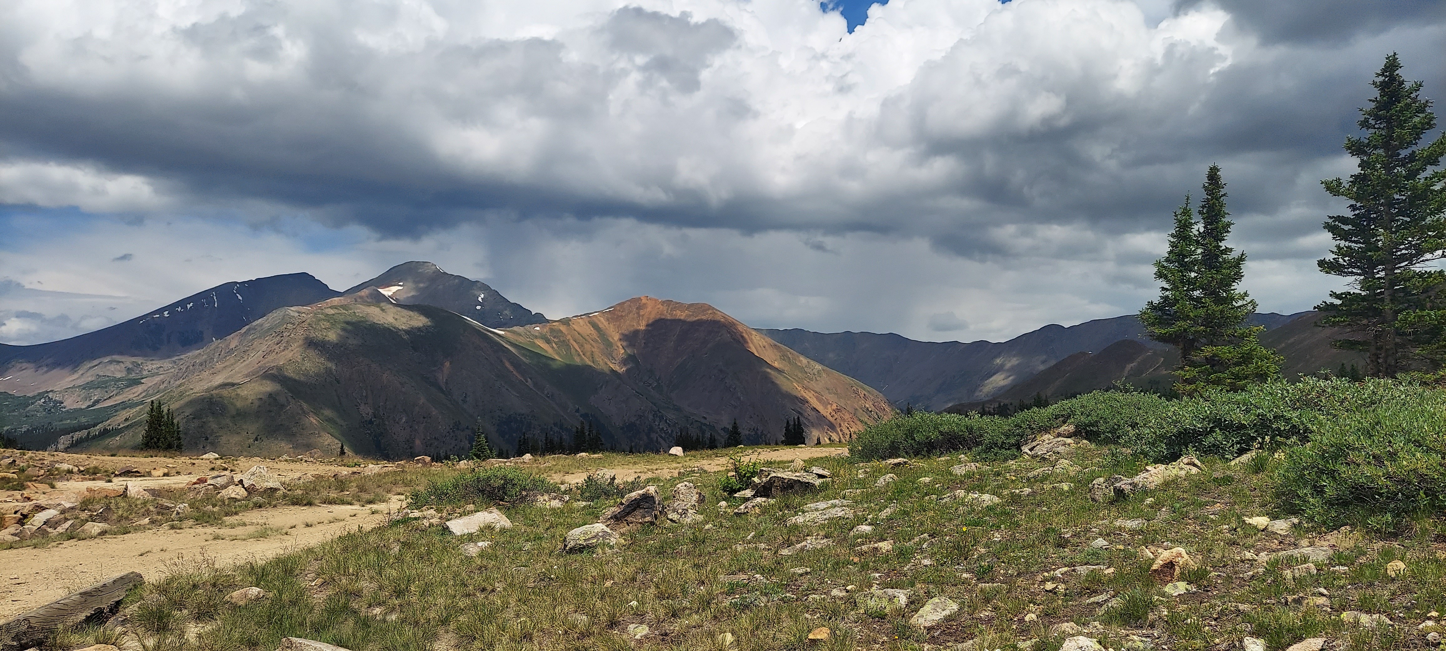
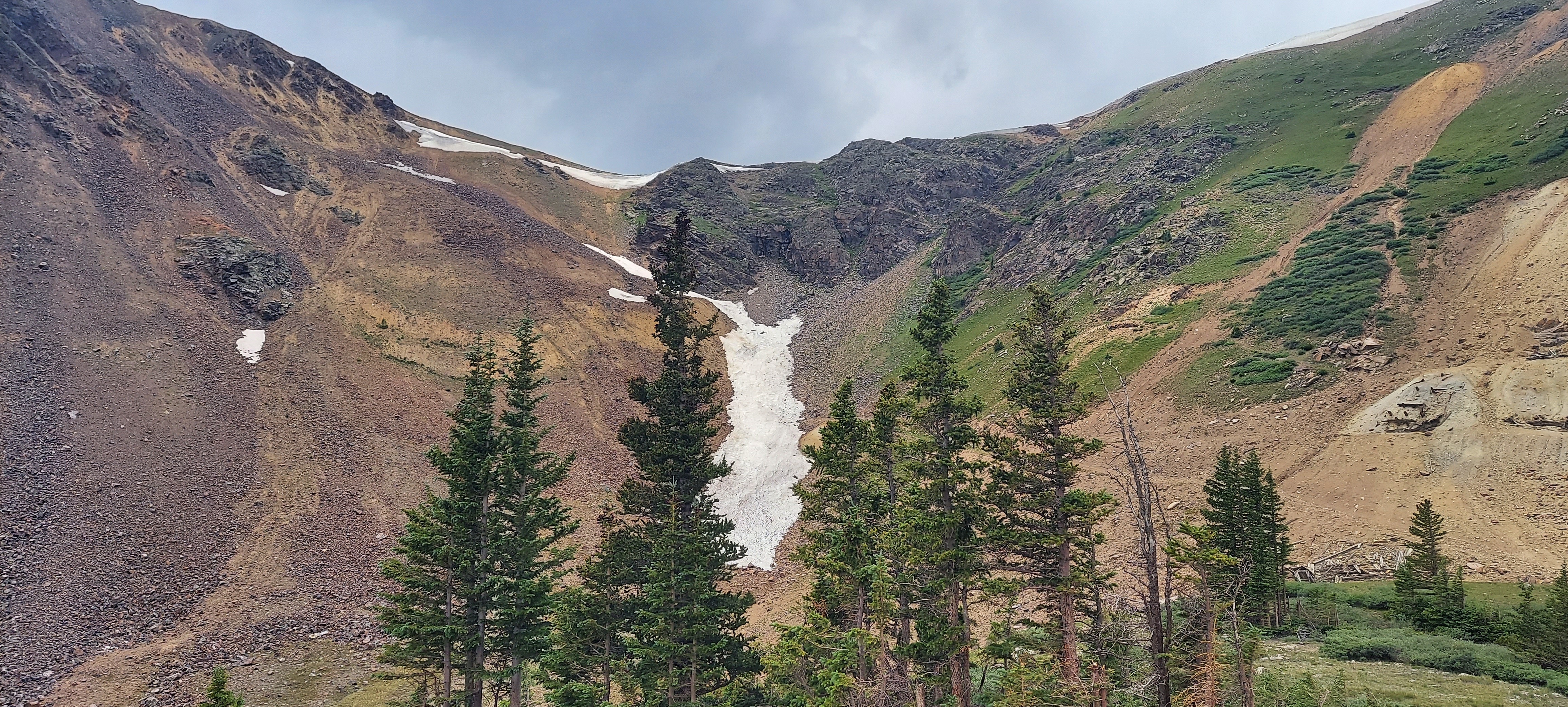
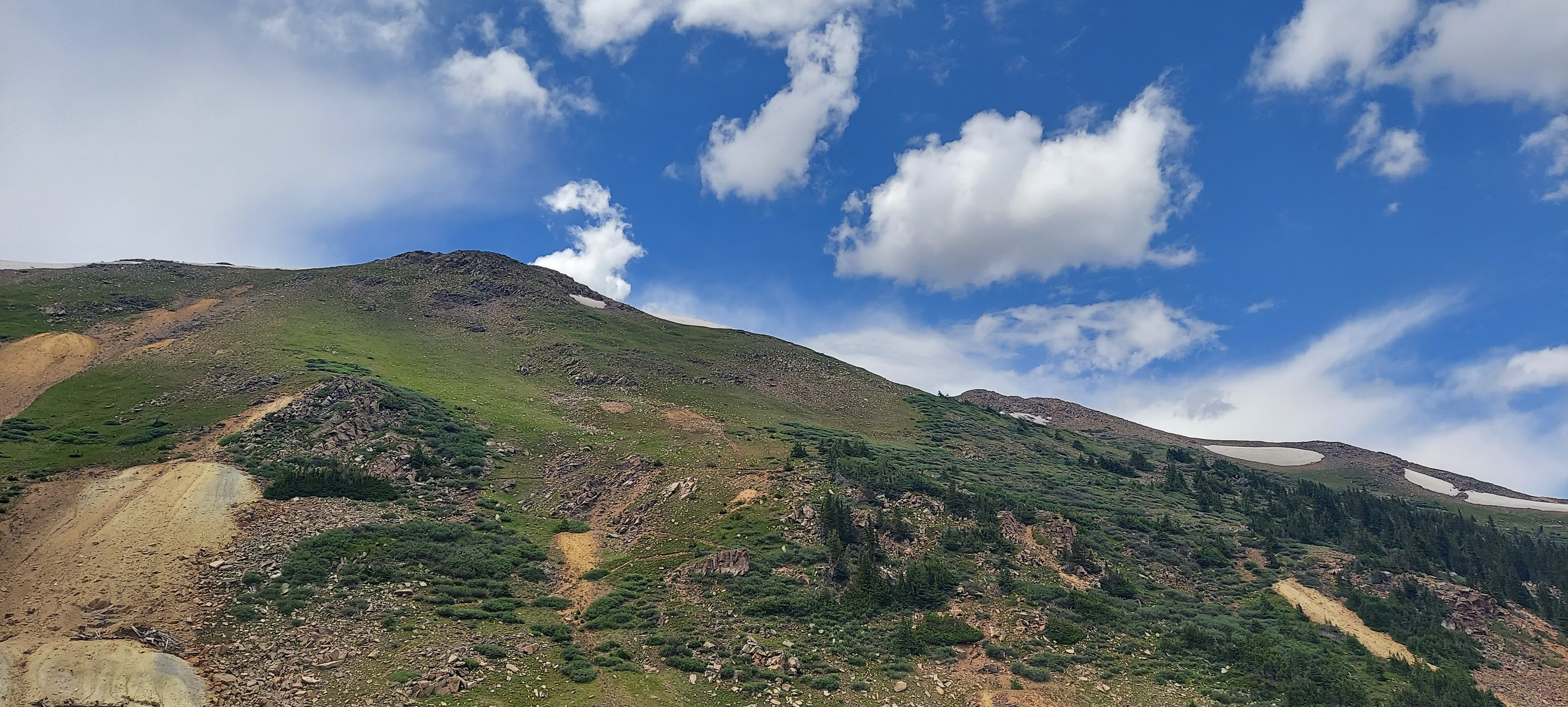
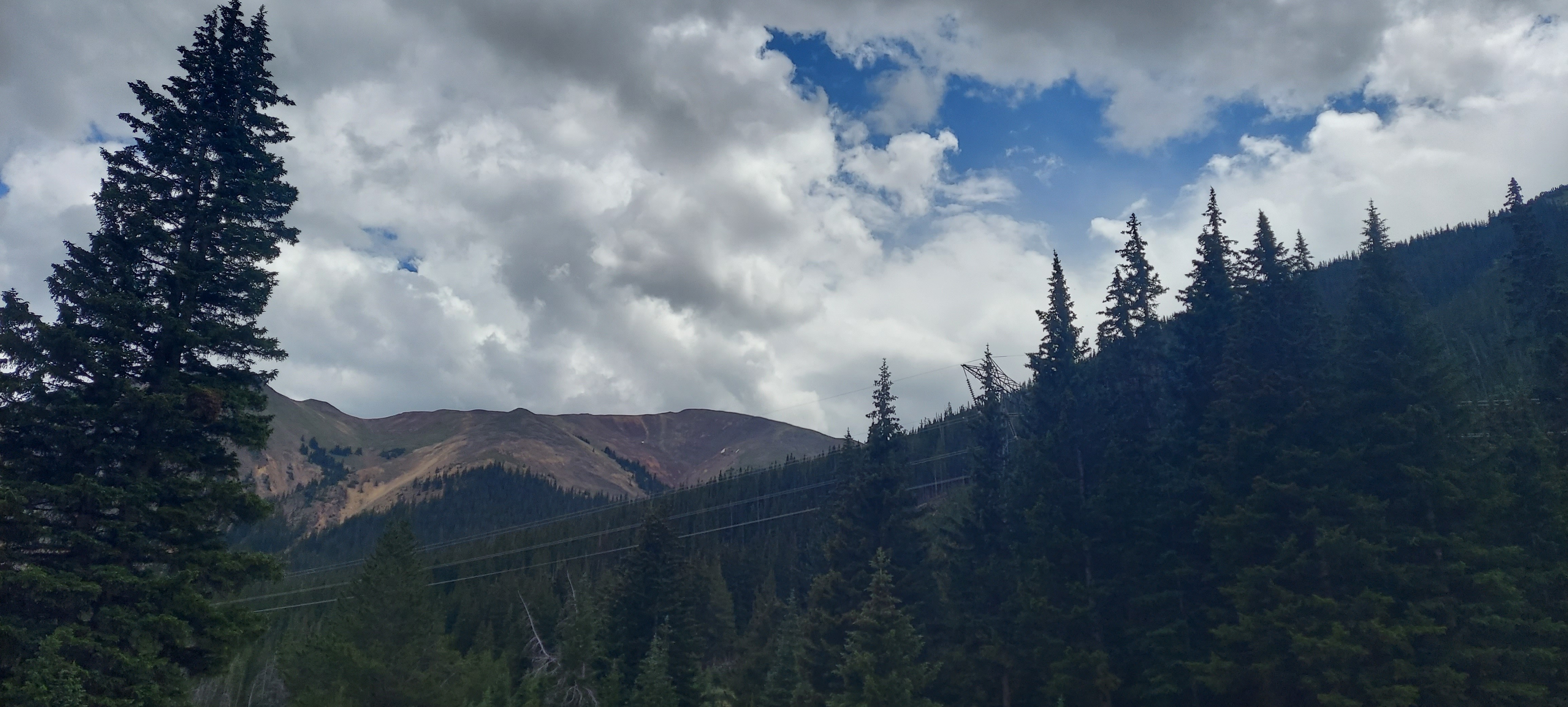
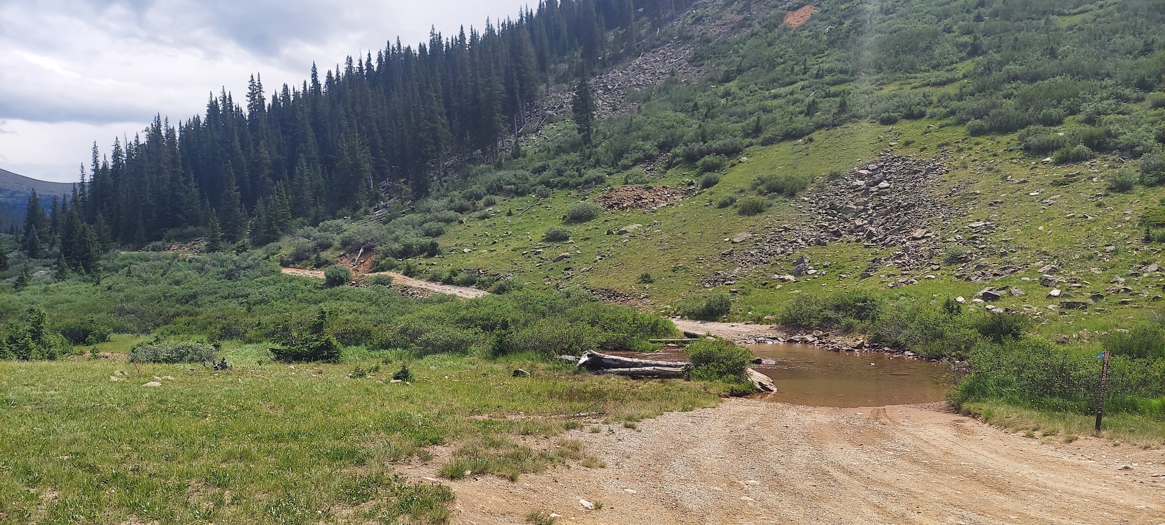
Taken with samsung SM-A716U1
39.6000684997222 N 105.813535999722 W
View on GeoHackAltitude 3283.0 meters
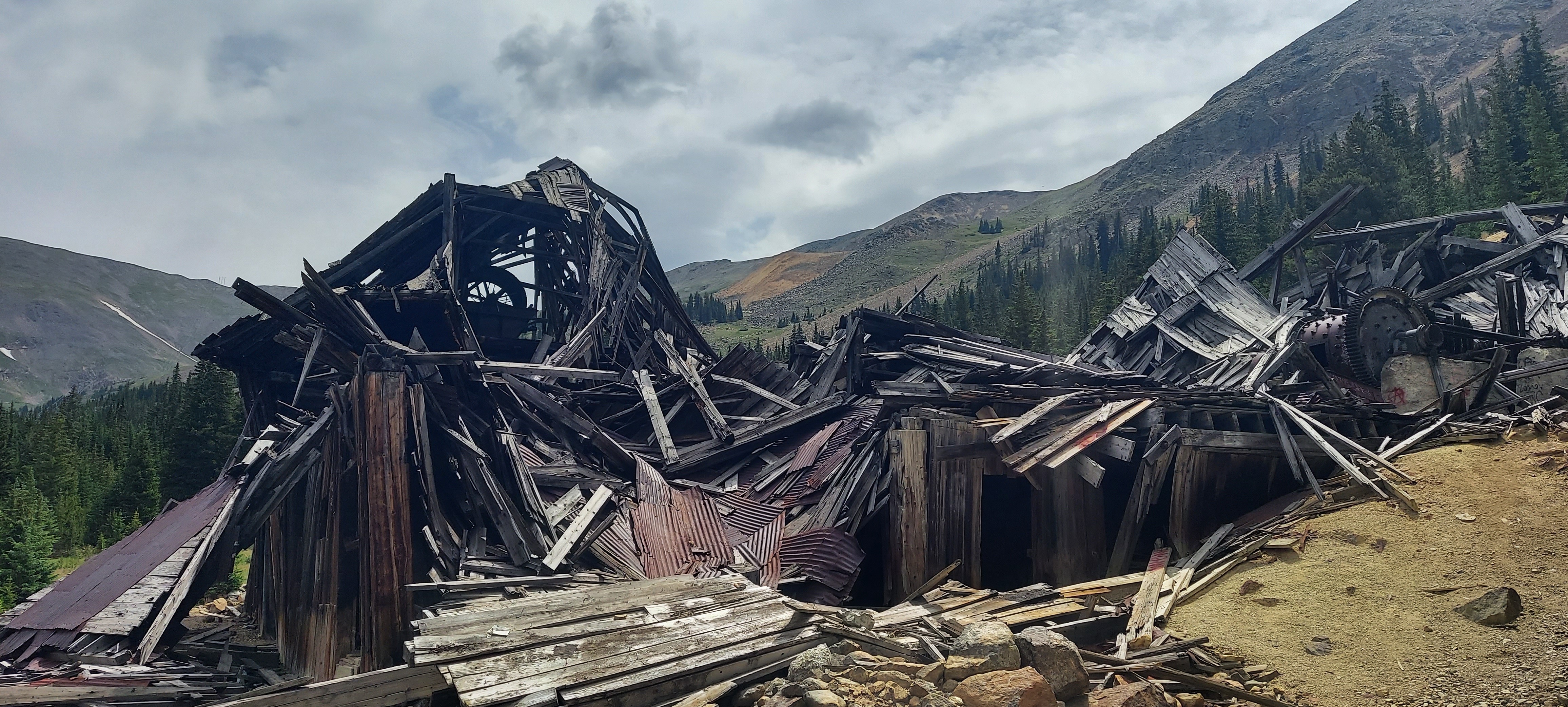
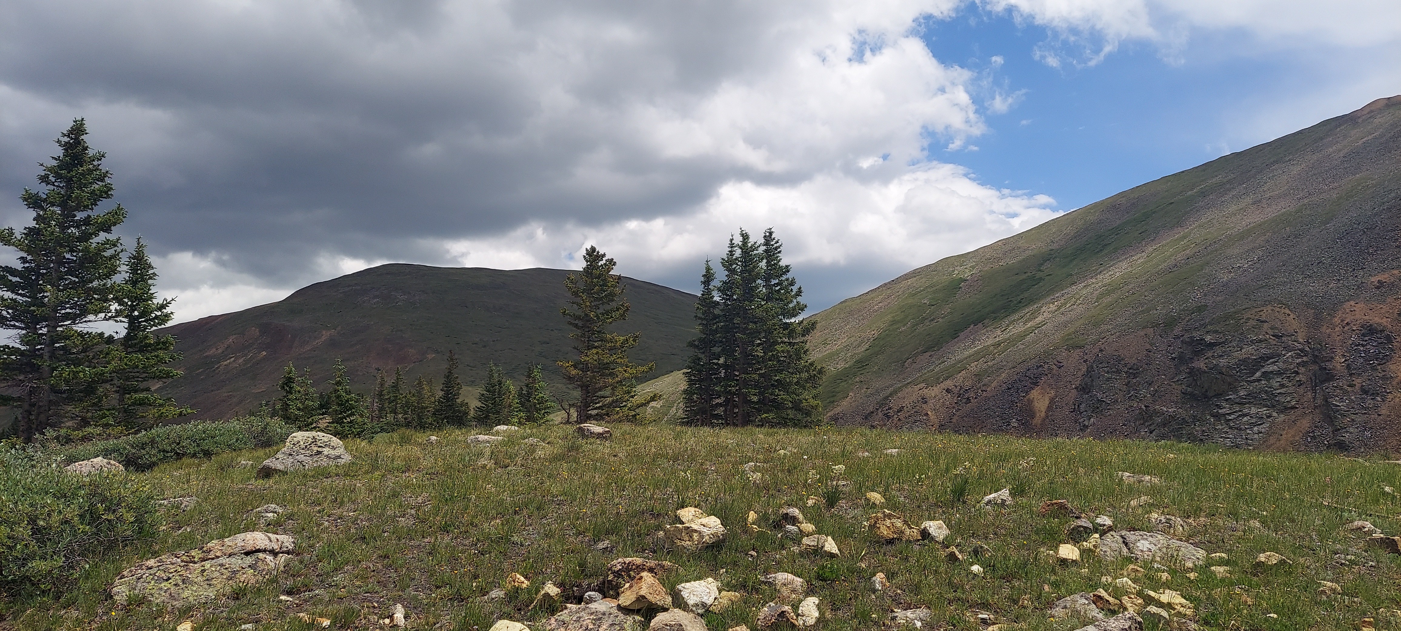
Taken with samsung SM-A716U1
39.6000684997222 N 105.813535999722 W
View on GeoHackAltitude 3283.0 meters
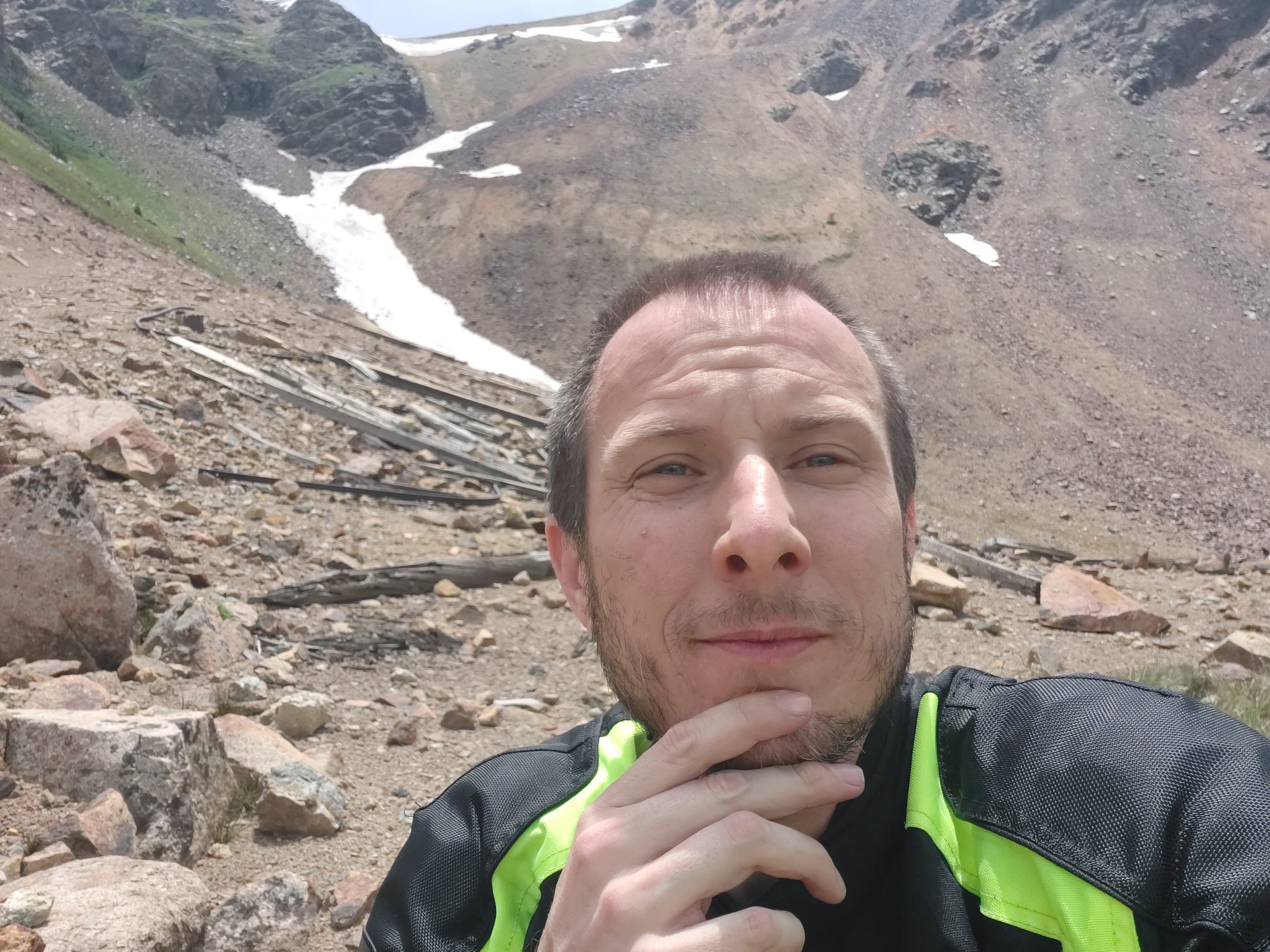
Taken with samsung SM-A716U1
39.6000684997222 N 105.813535999722 W
View on GeoHackAltitude 3283.0 meters
Taken with samsung SM-A716U1
39.6000684997222 N 105.813535999722 W
View on GeoHackAltitude 3283.0 meters
Taken with samsung SM-A716U1
Timestamp: 2024:07:19 17:43:08
39.6000689722222 N 105.813535972222 W
View on GeoHackAltitude 3283.2 meters
Taken with samsung SM-A716U1
39.6000684997222 N 105.813535999722 W
View on GeoHackAltitude 3283.0 meters

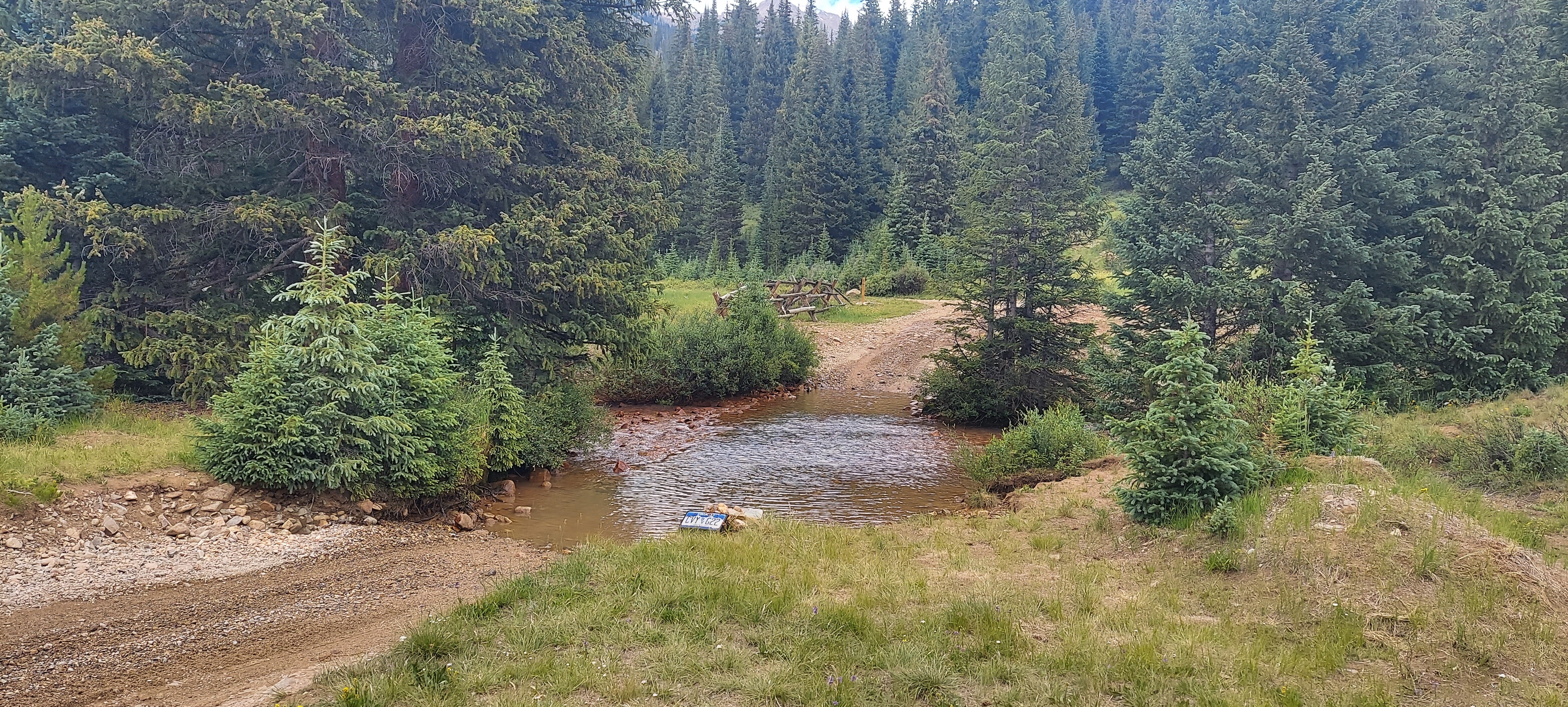

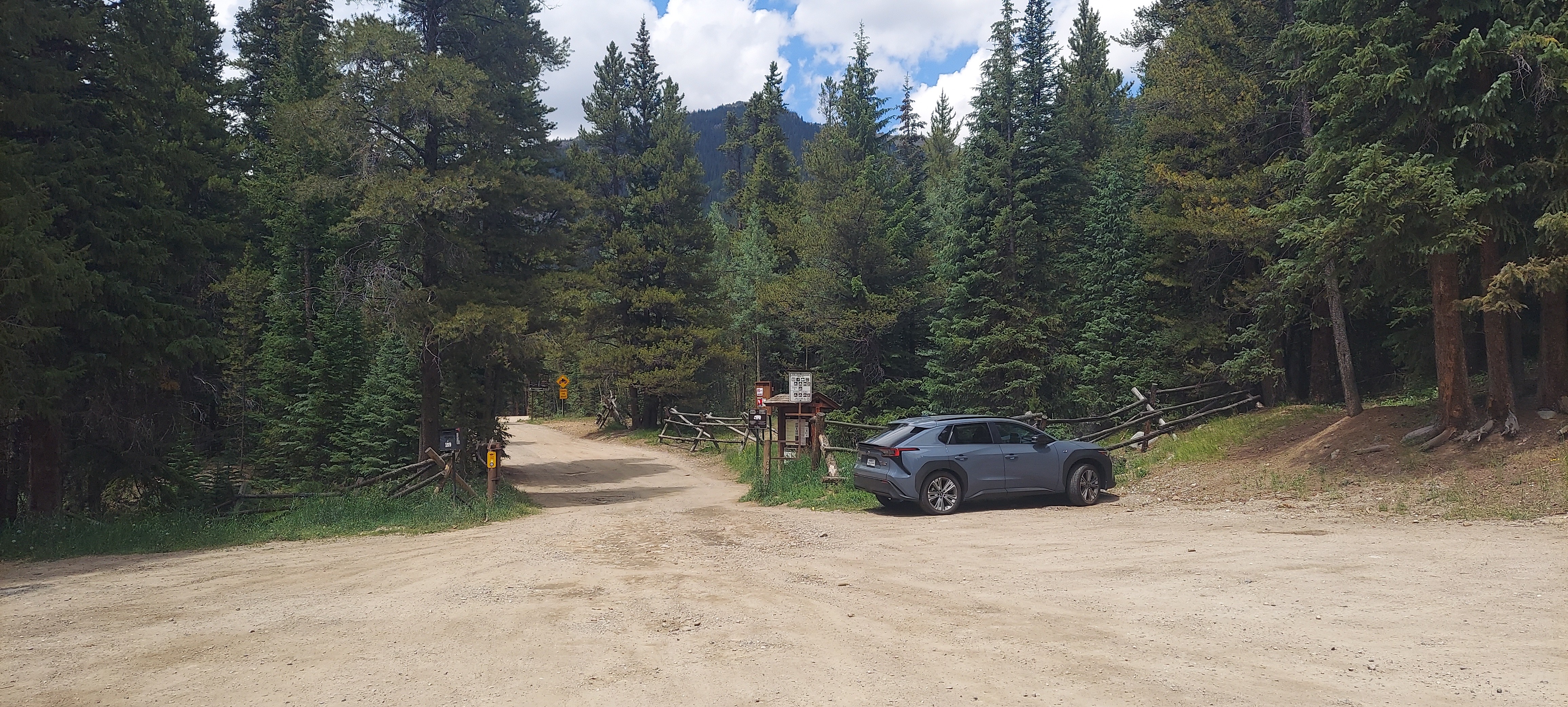
Taken with samsung SM-A716U1
Timestamp: 2024:07:19 19:48:35
39.600036 N 105.840011 W
View on GeoHackAltitude 3175.2 meters
Taken with samsung SM-A716U1
Timestamp: 2024:07:19 19:48:35
39.600036 N 105.840011 W
View on GeoHackAltitude 3175.2 meters
.jpg)