2024 Tenderfoot Mountain visit
- Friday July 19 2024
- travel colorado
- Series: 2024-colorado
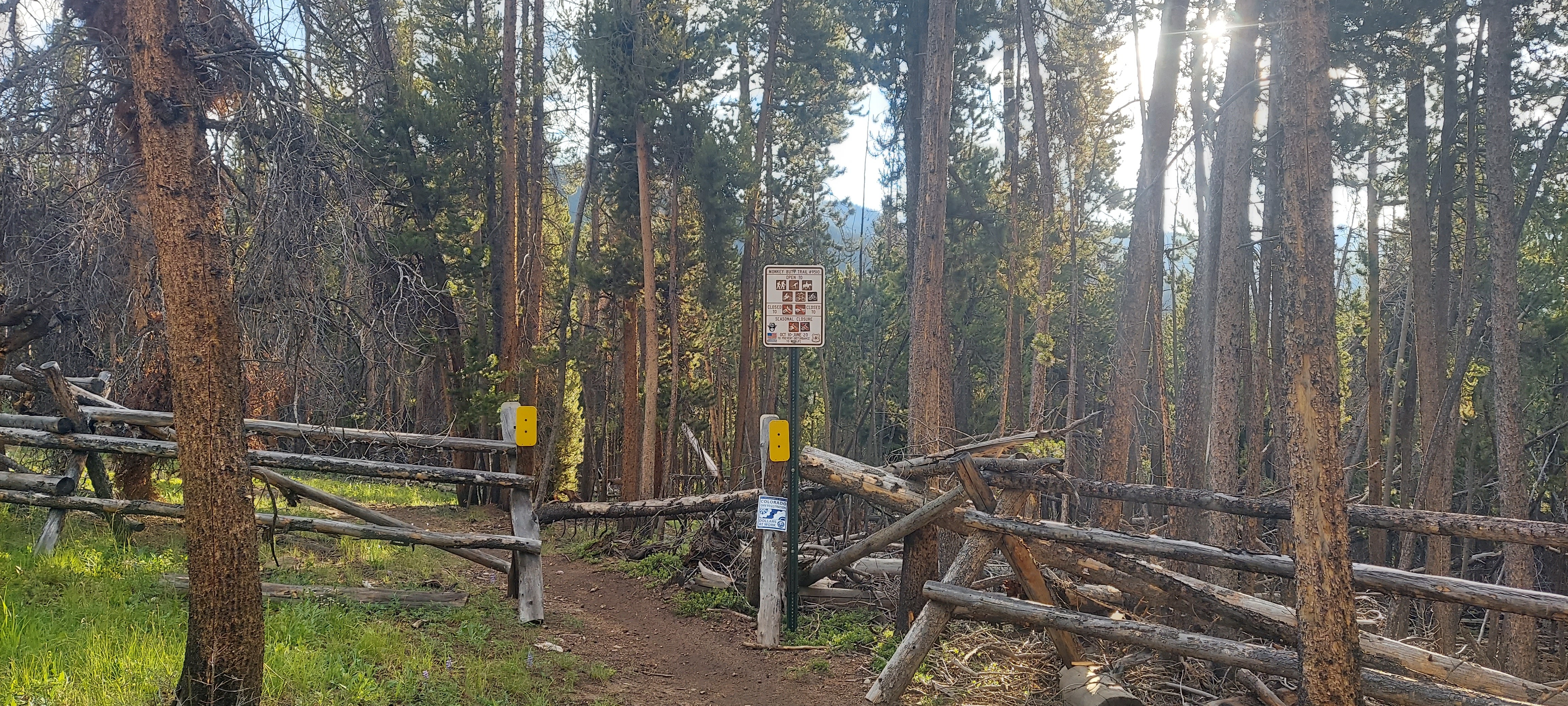
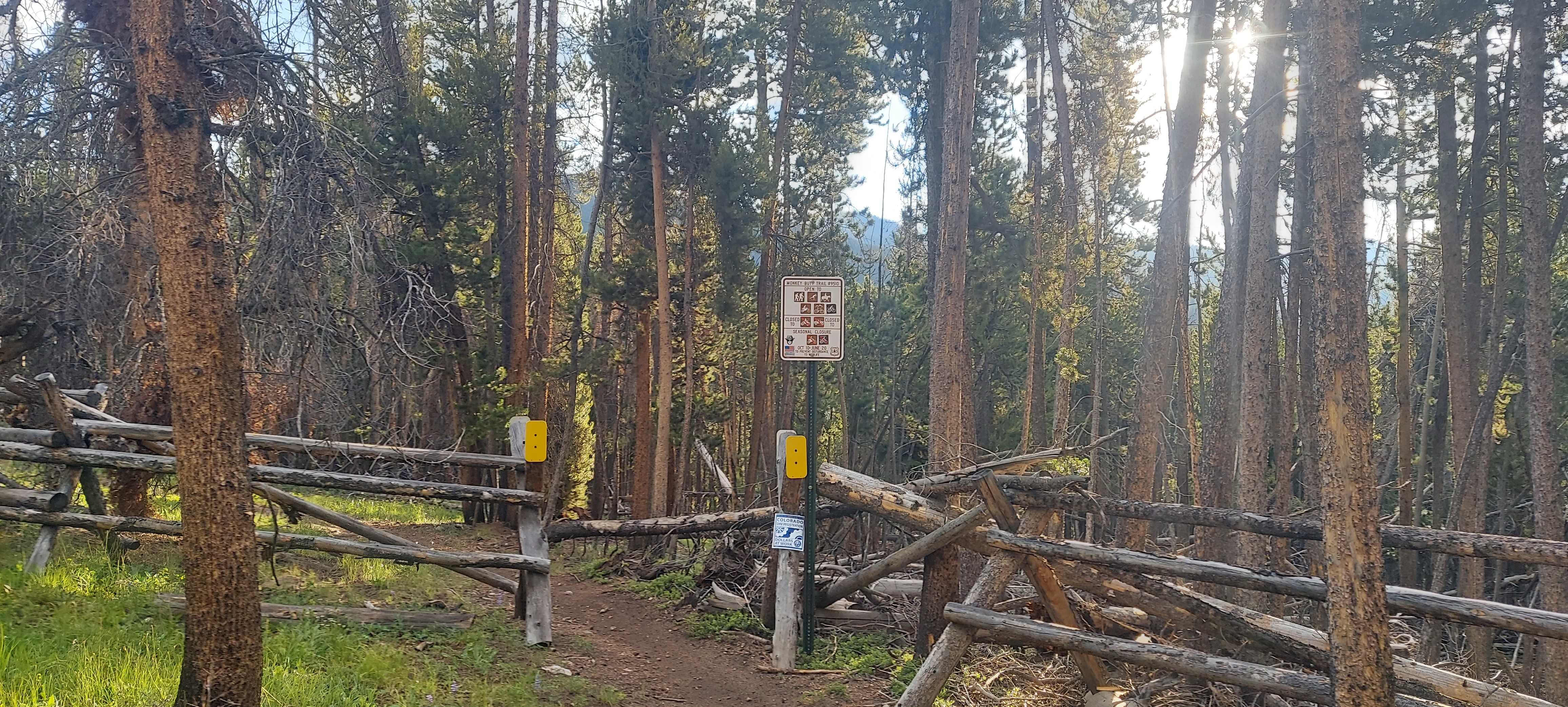
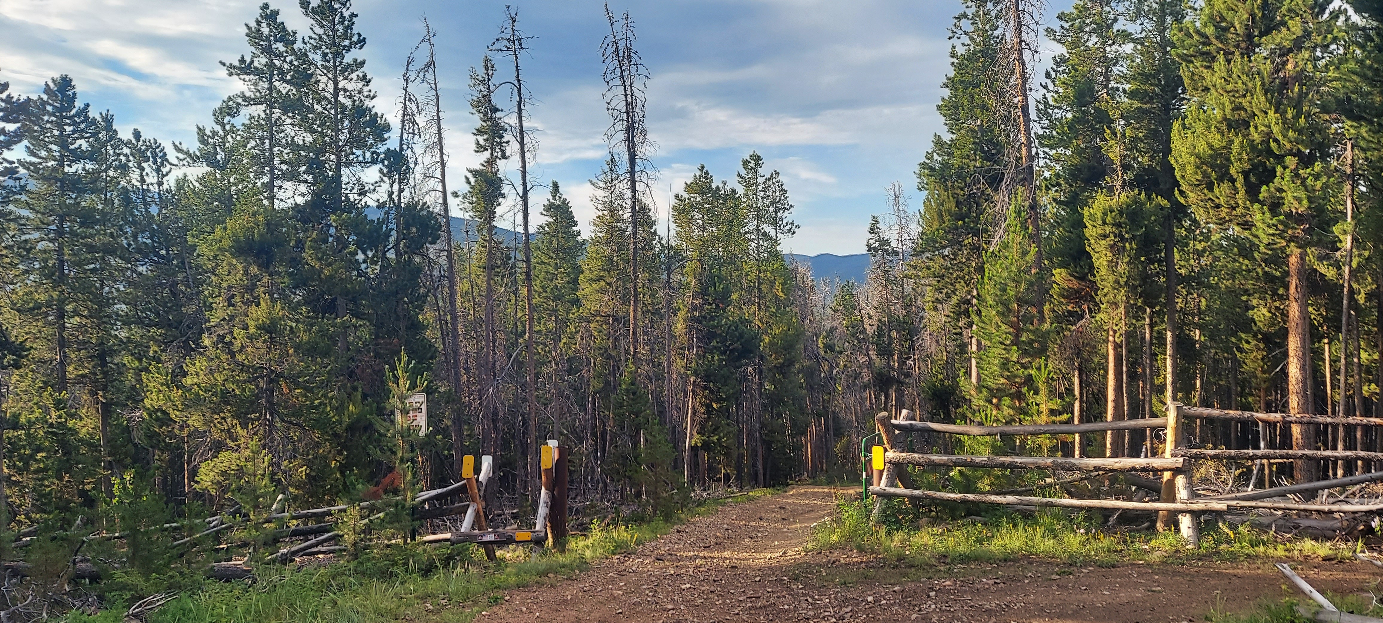
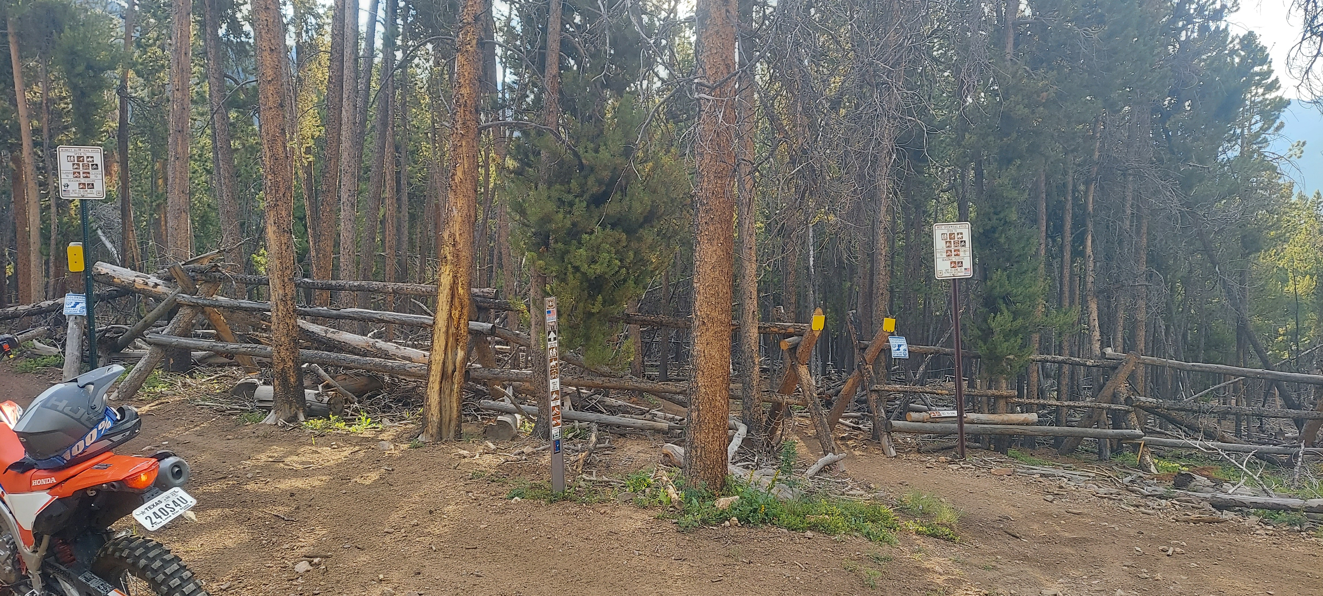
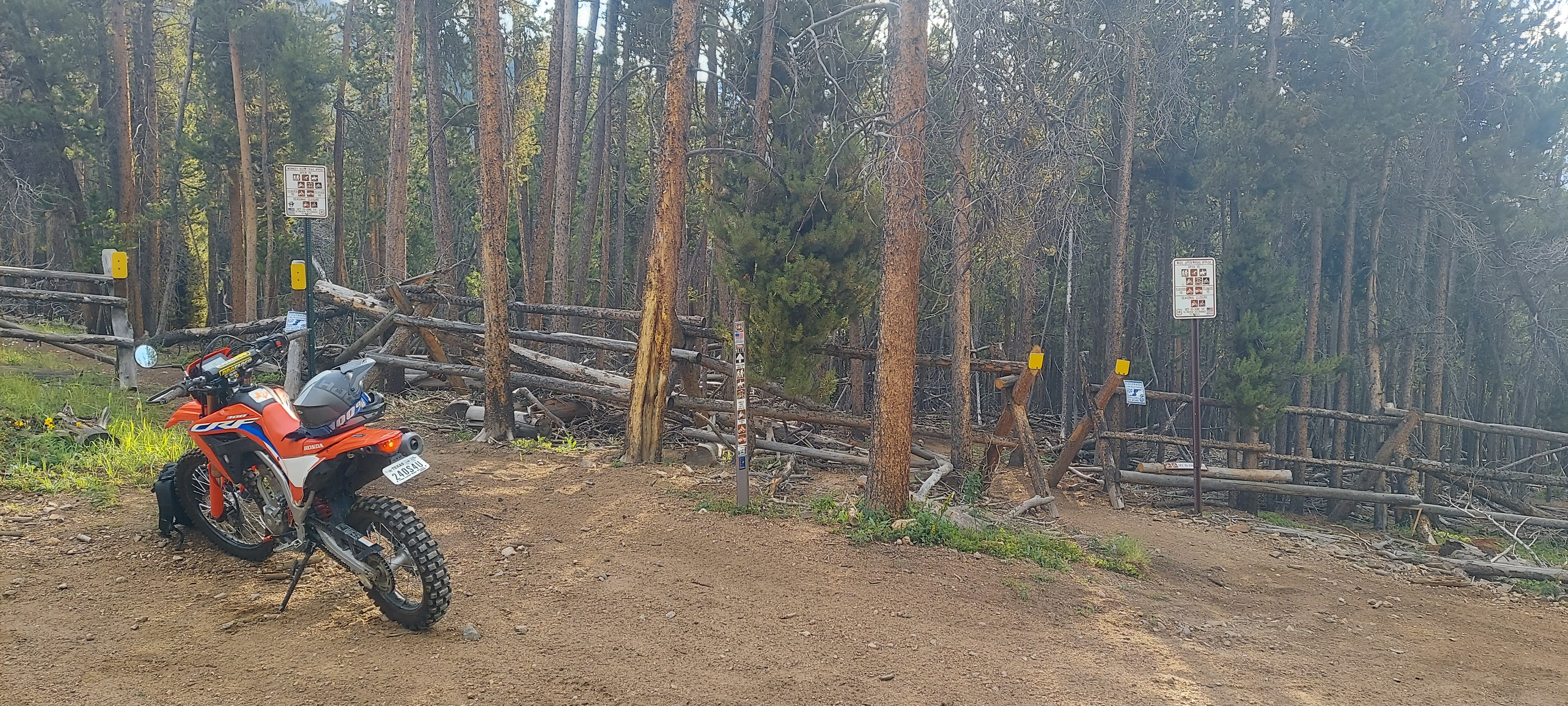
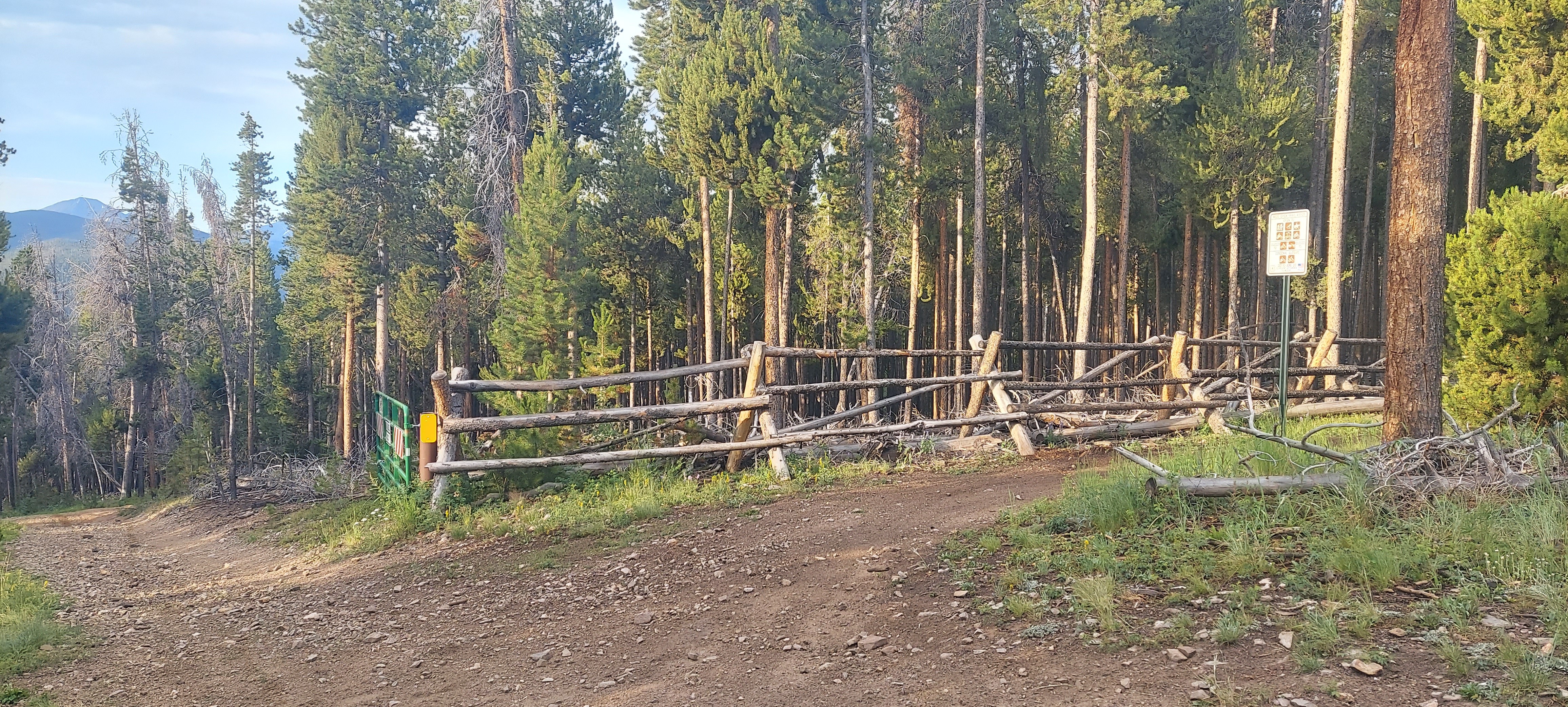
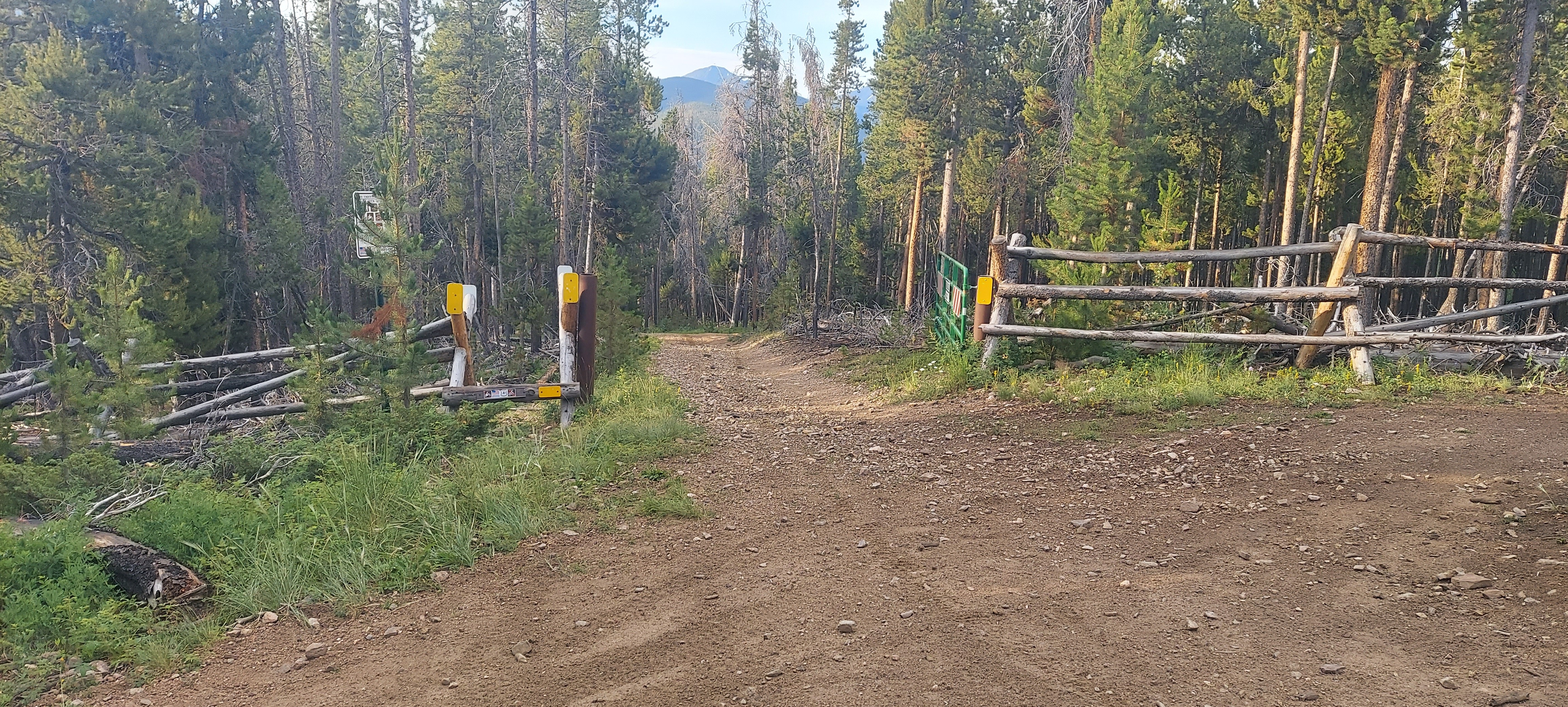
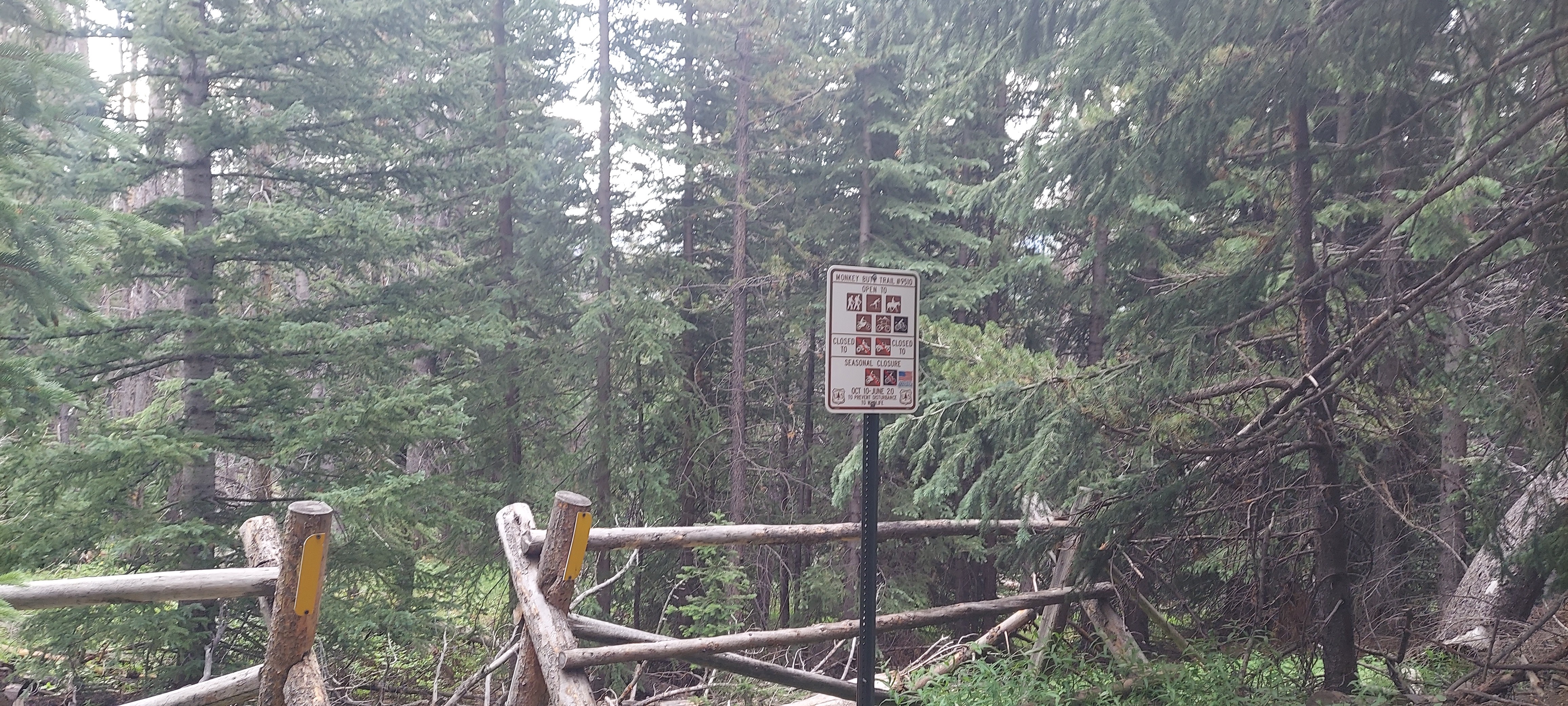
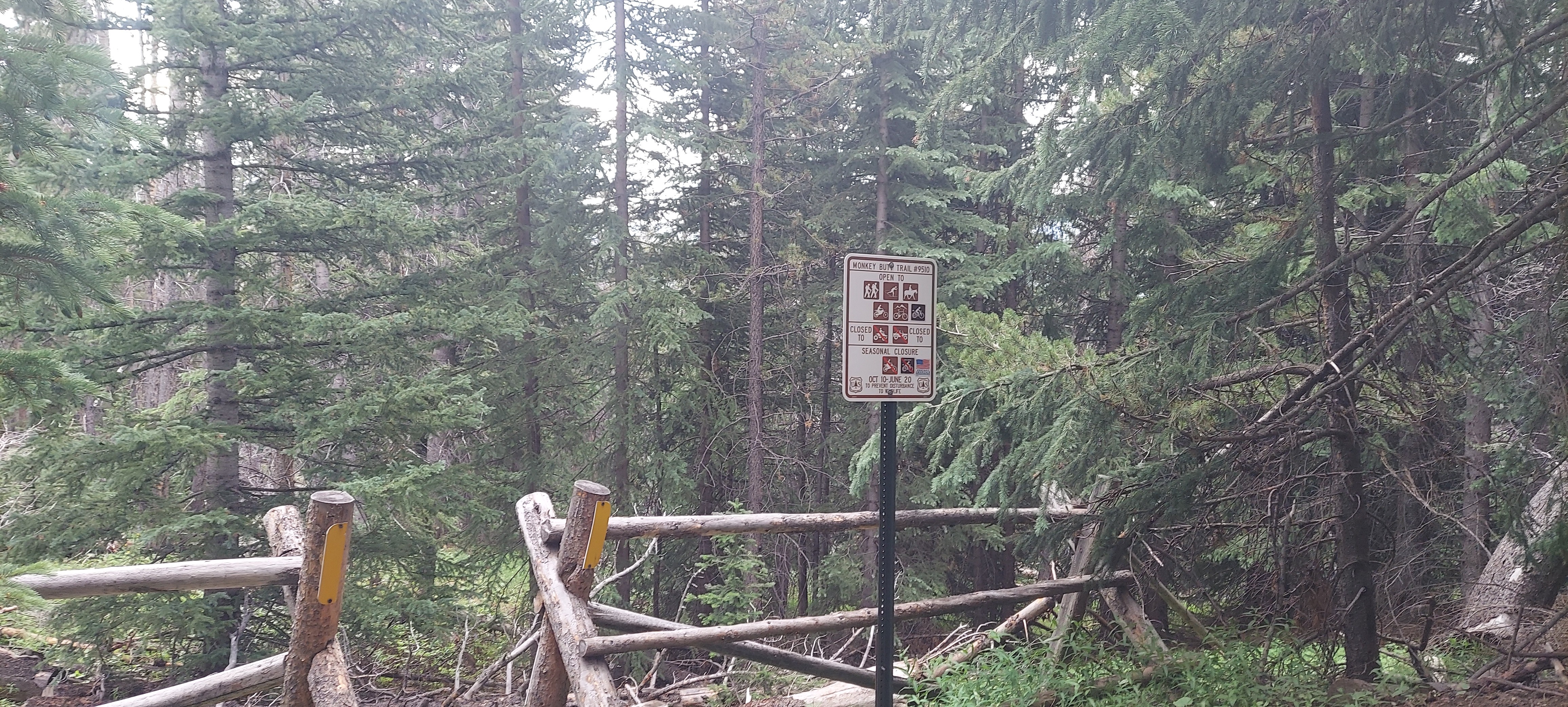
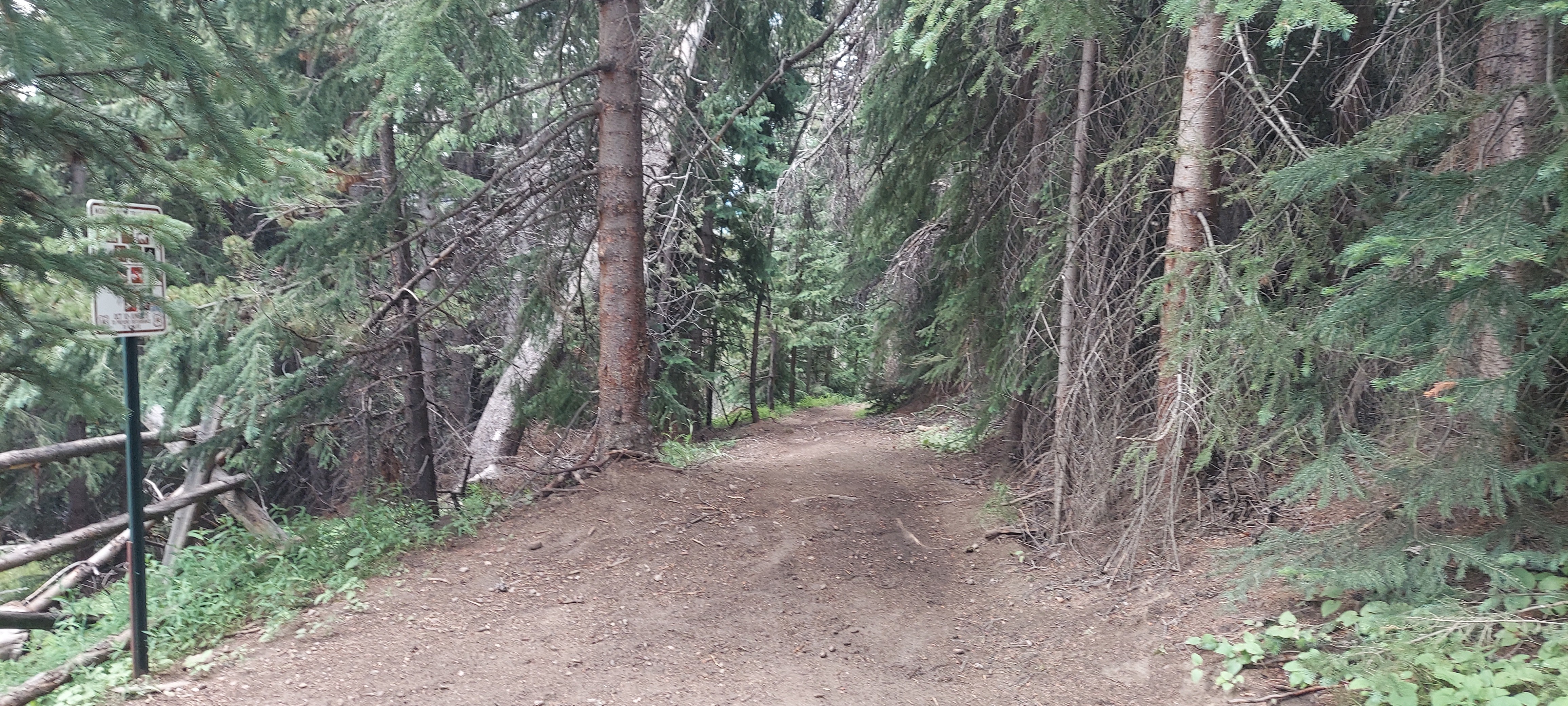
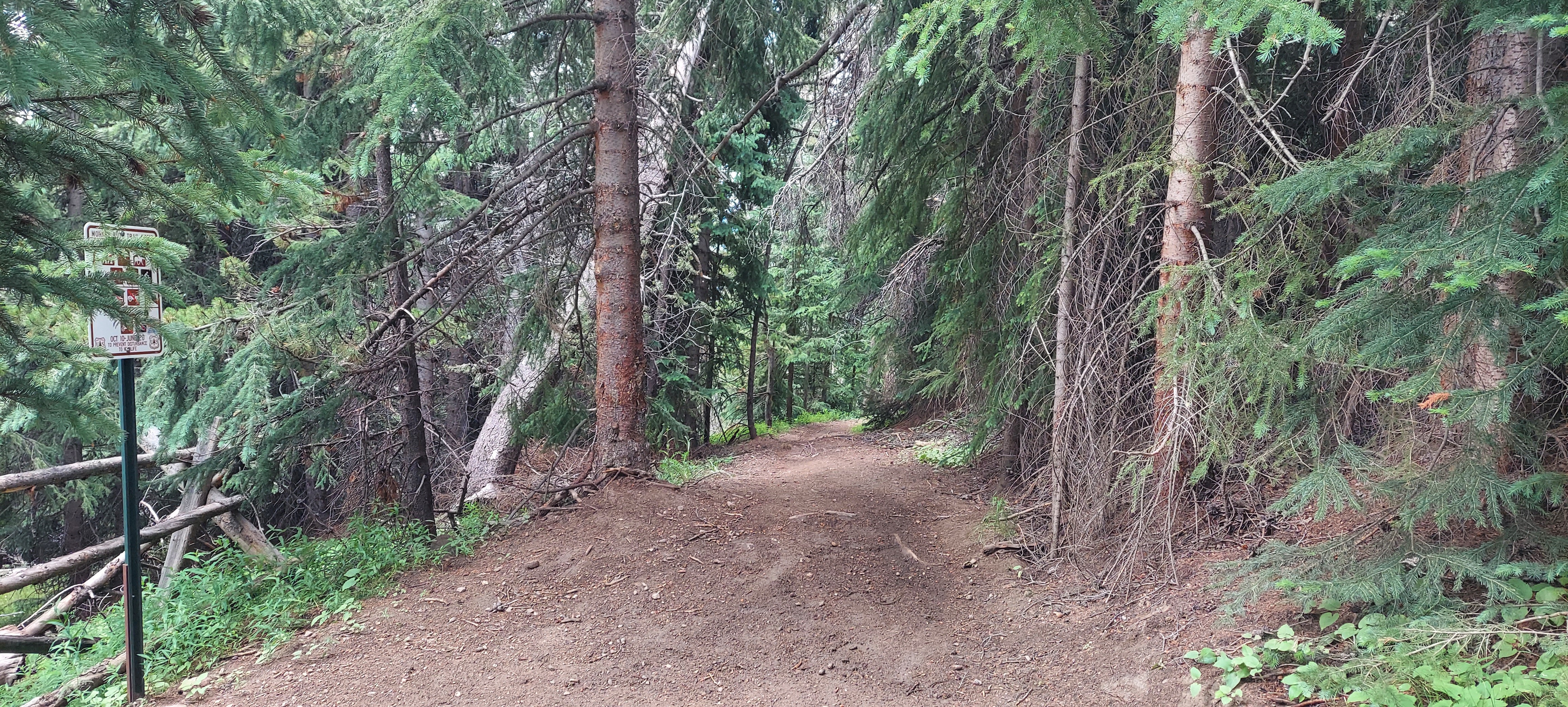
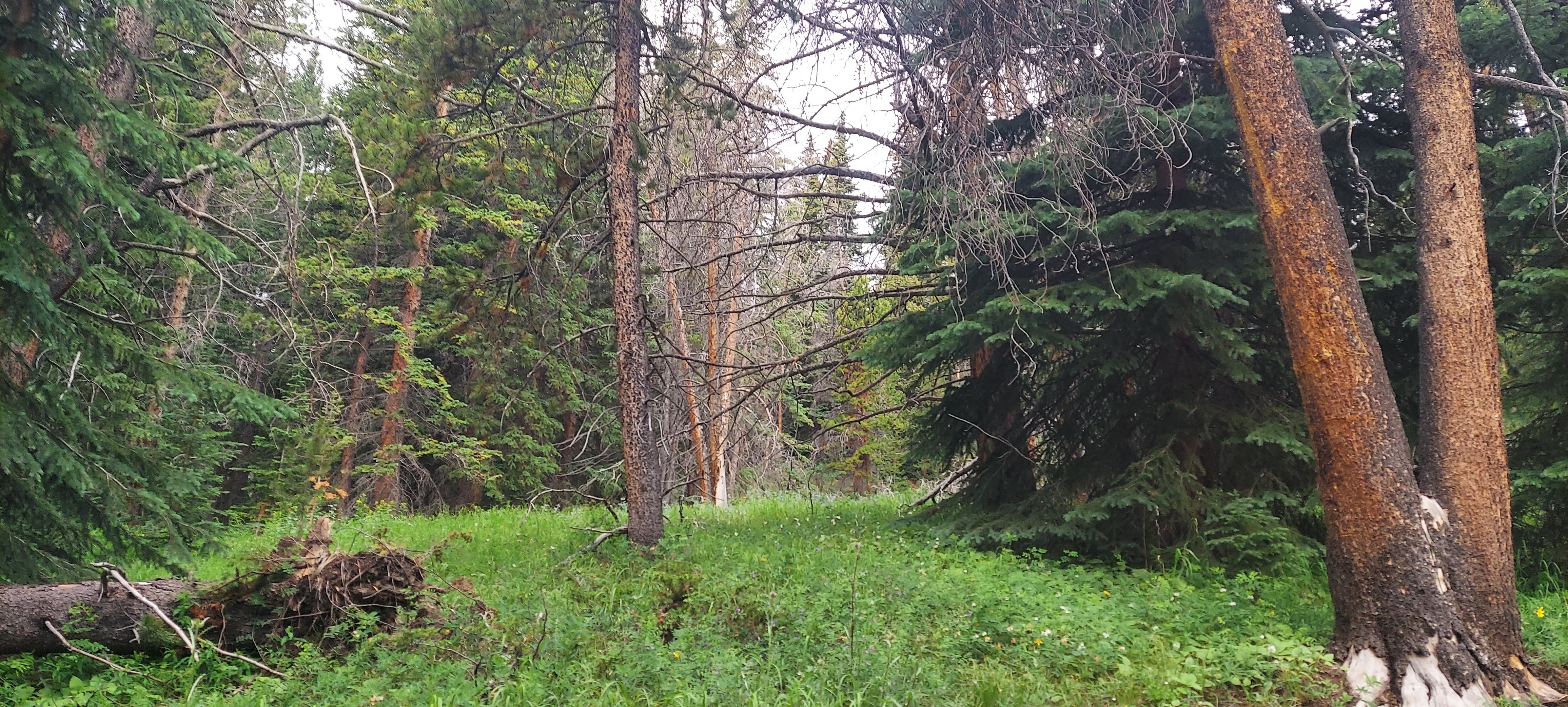
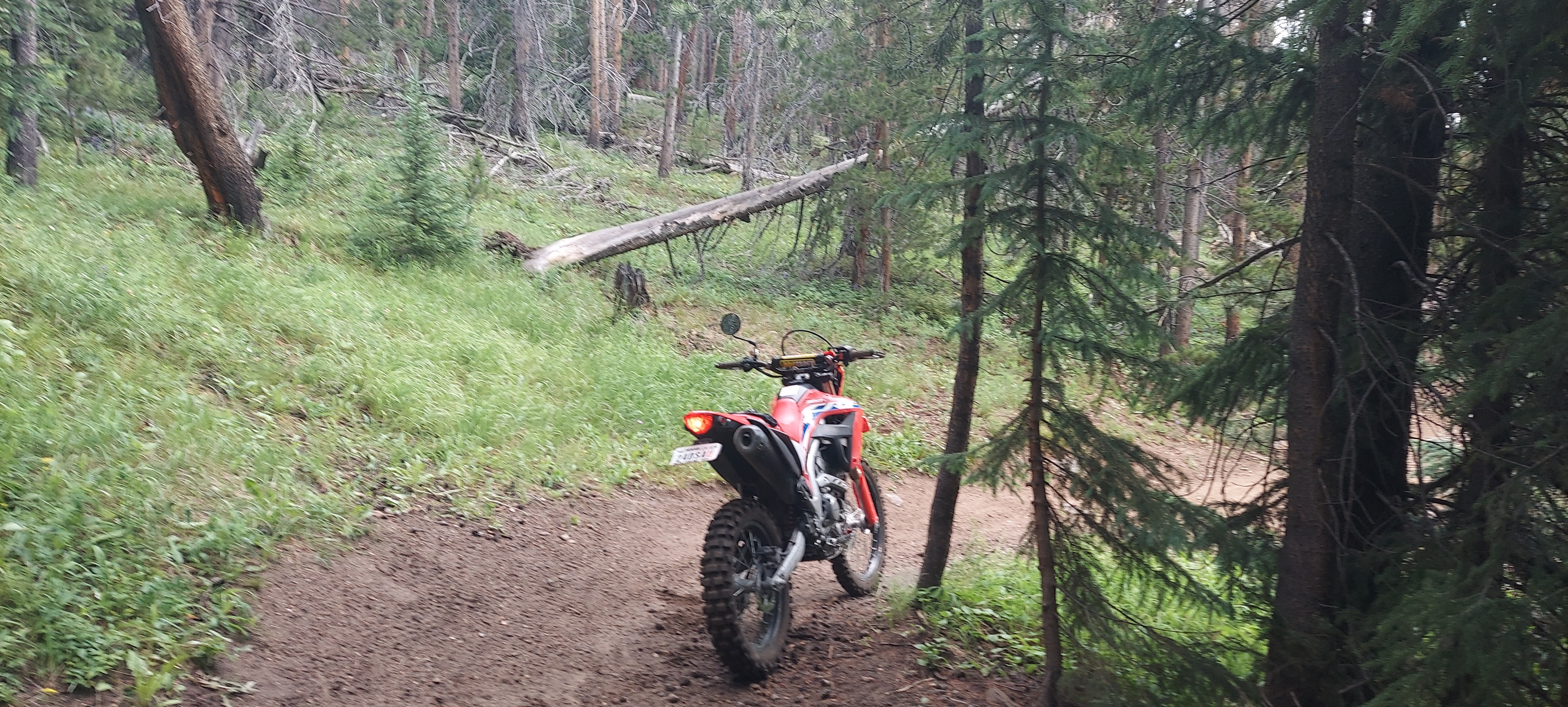
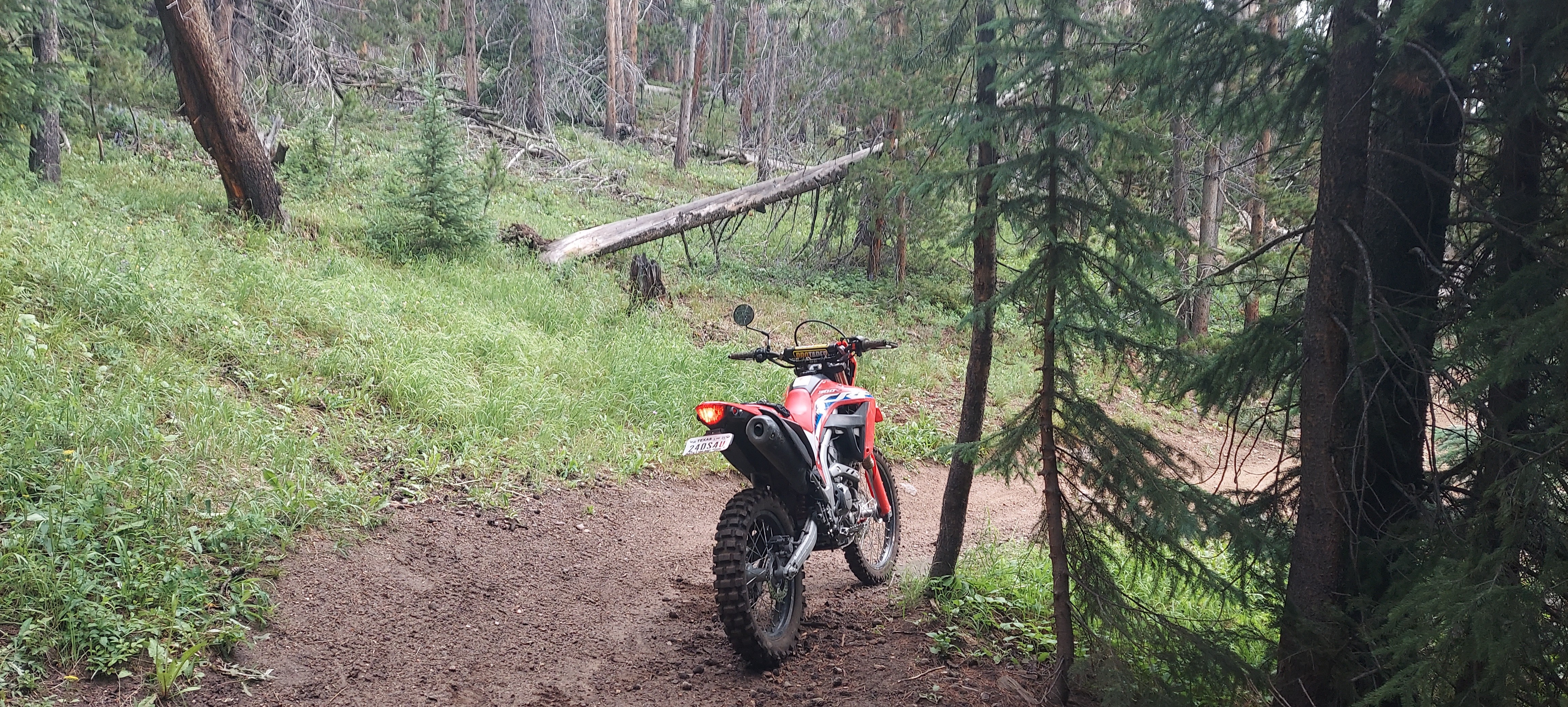
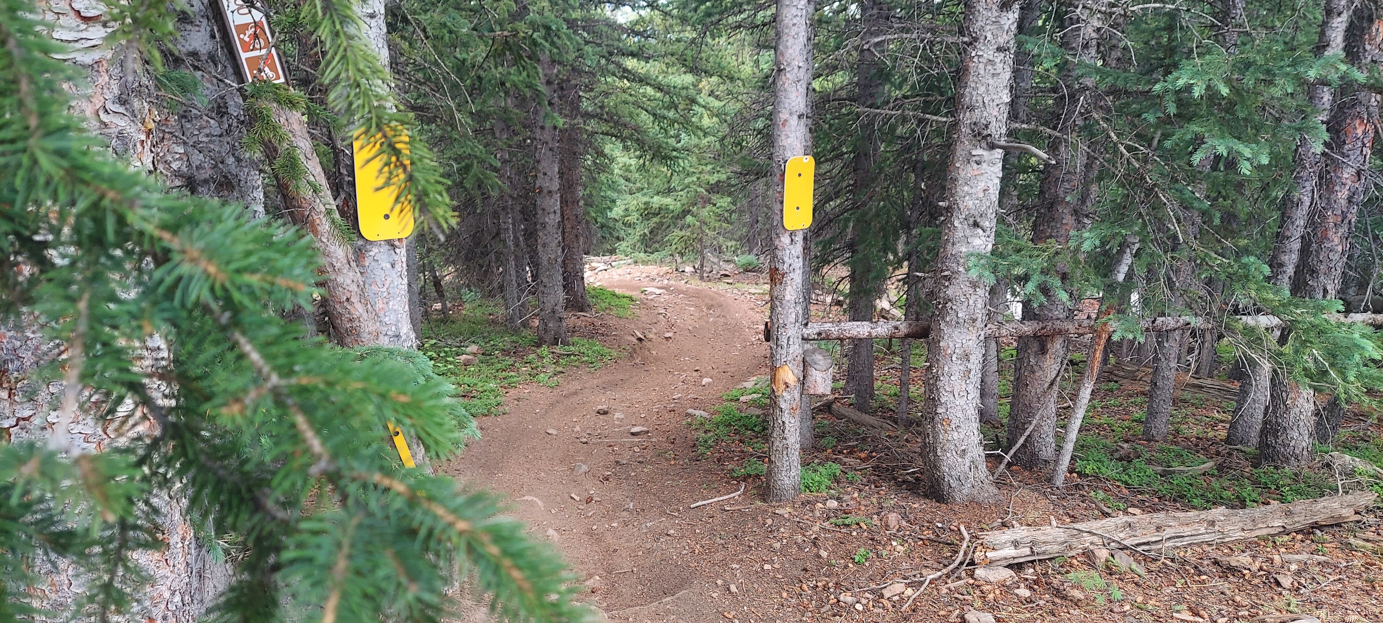
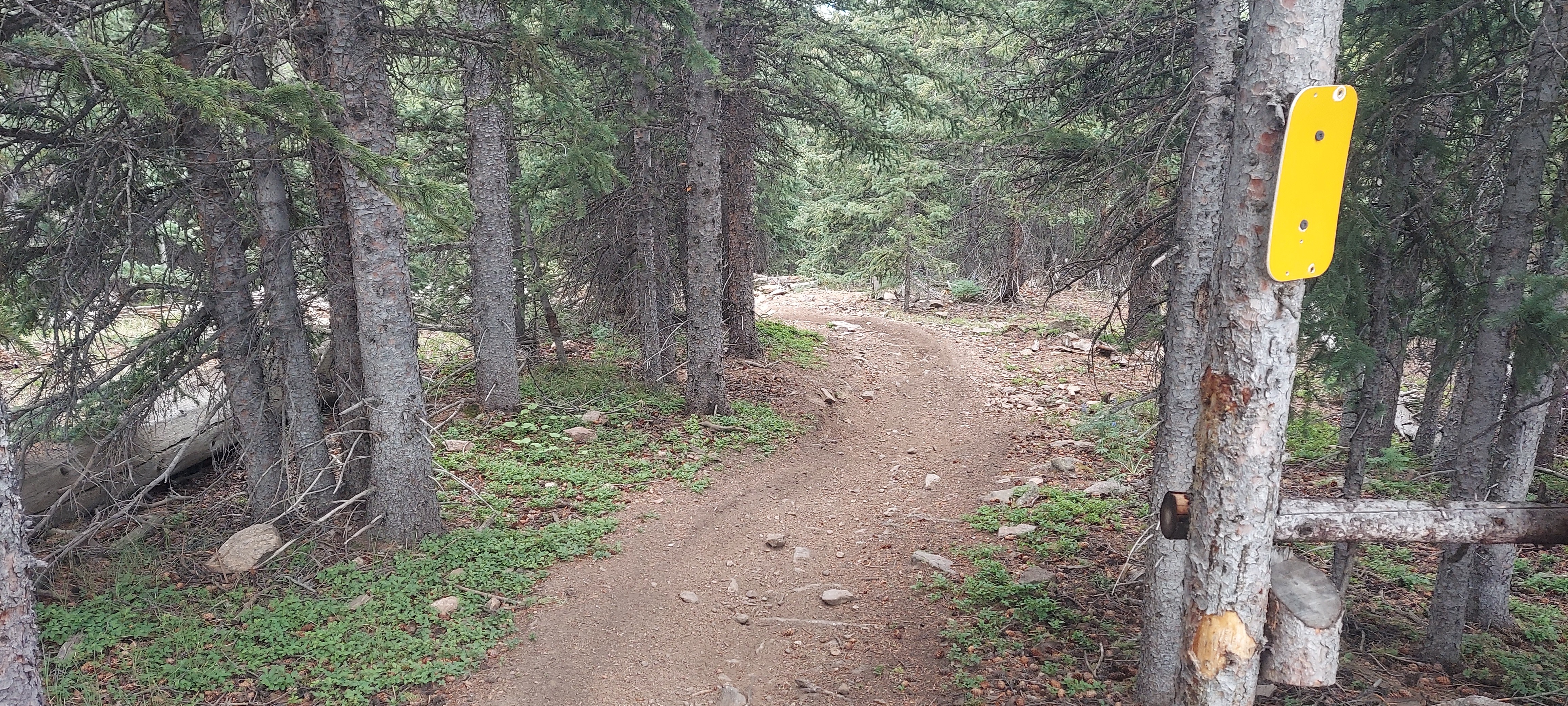
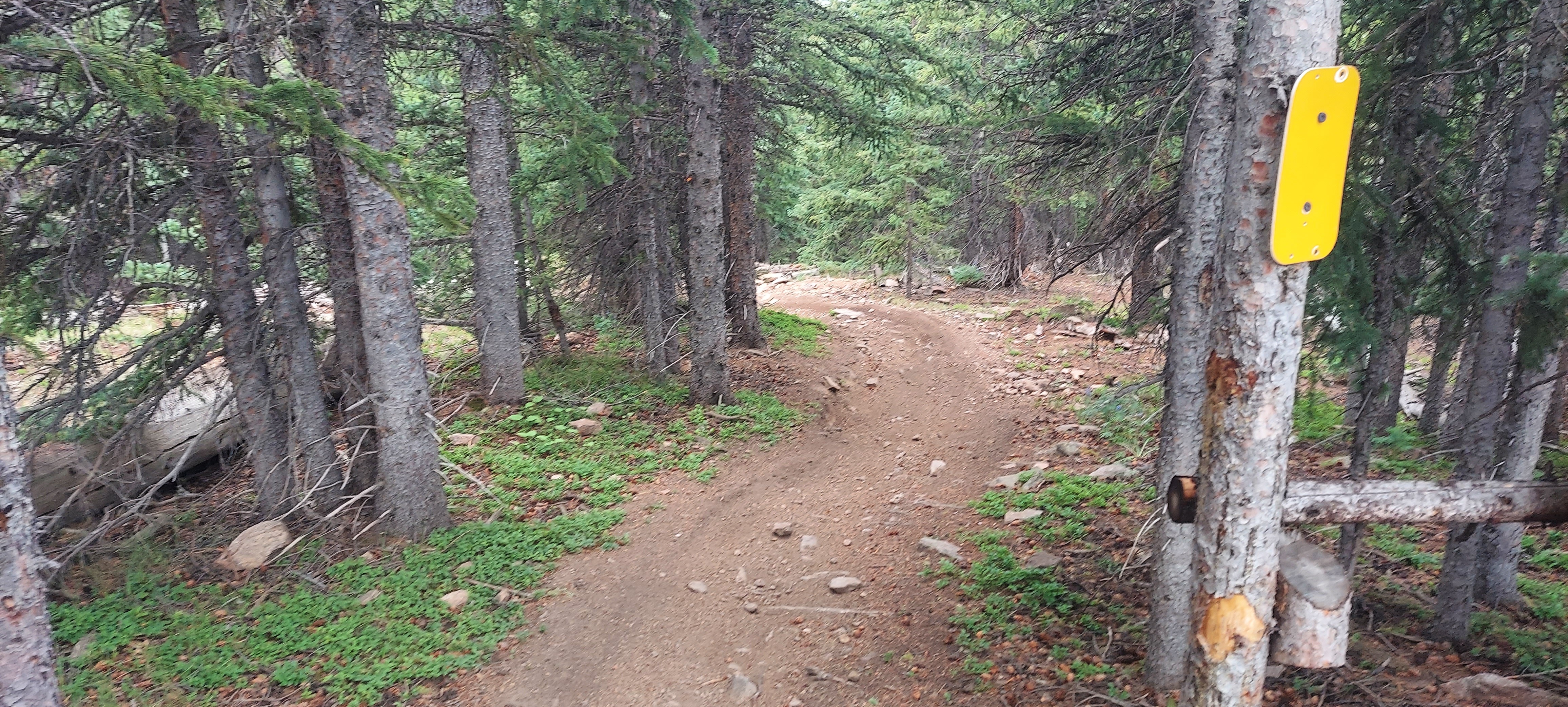
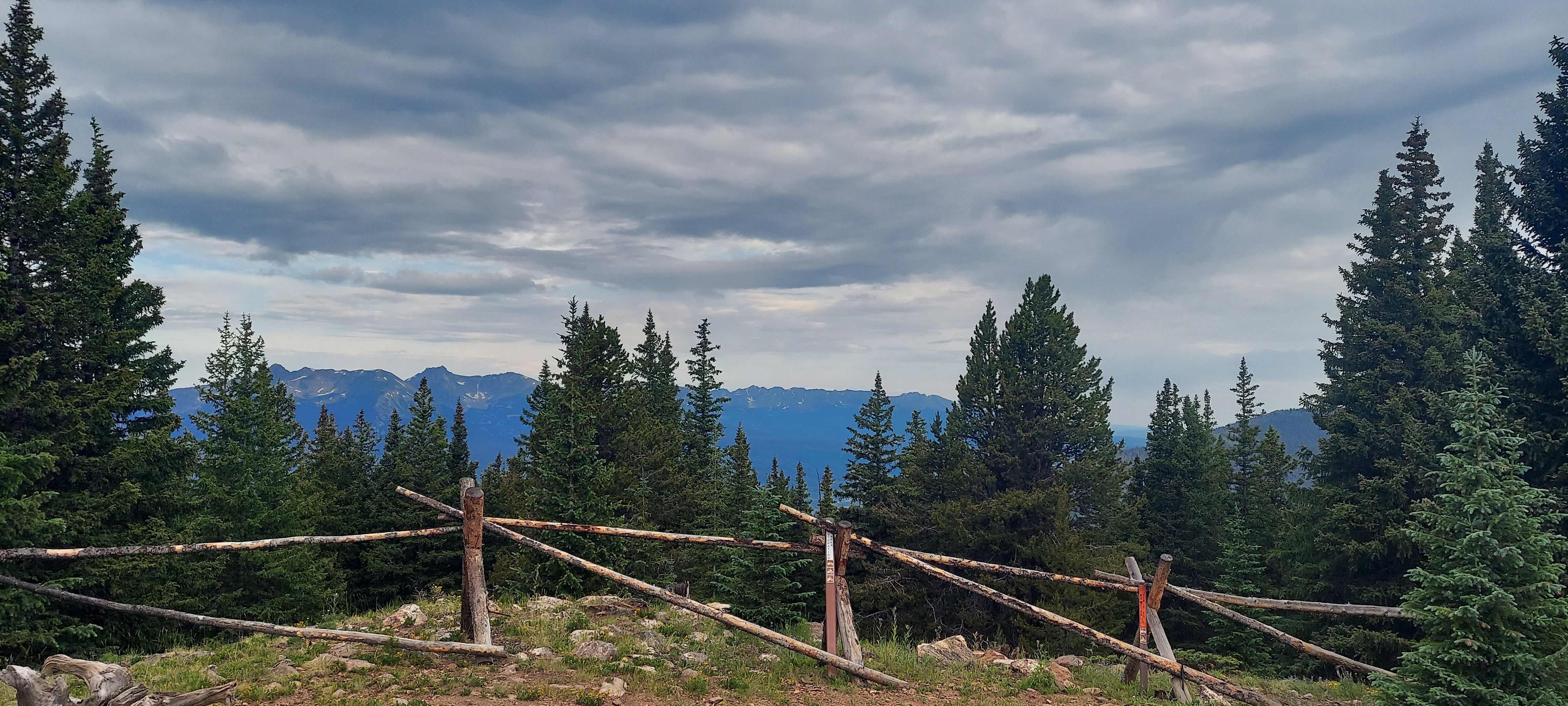
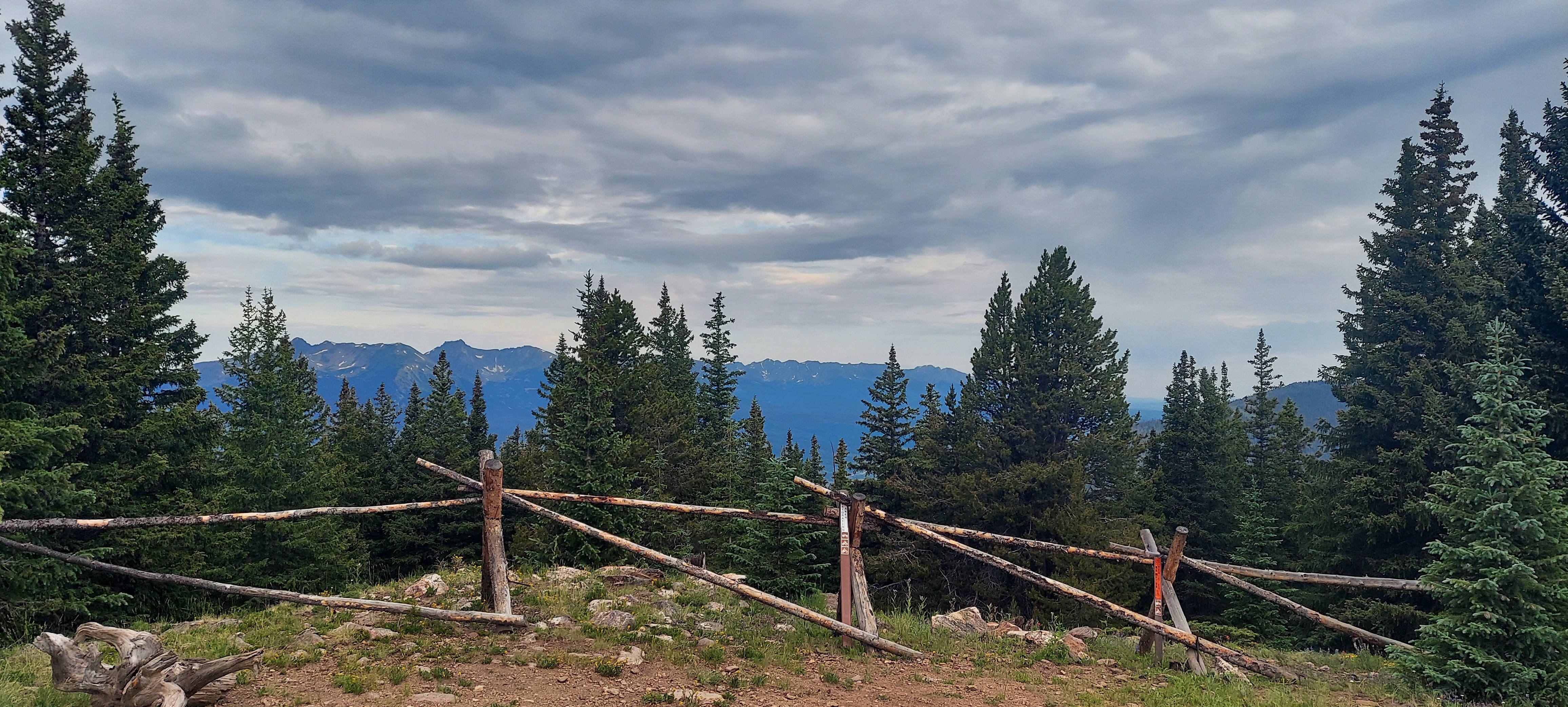
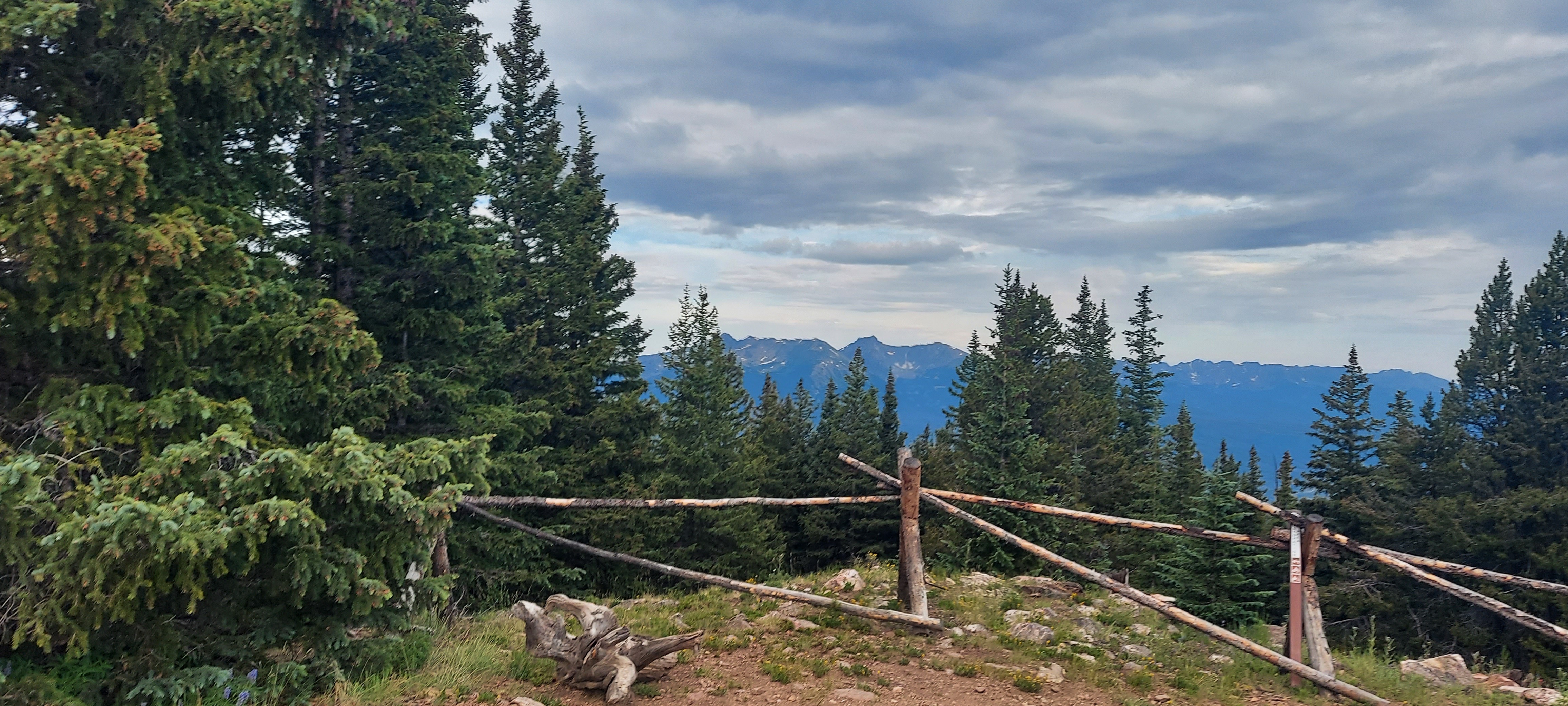
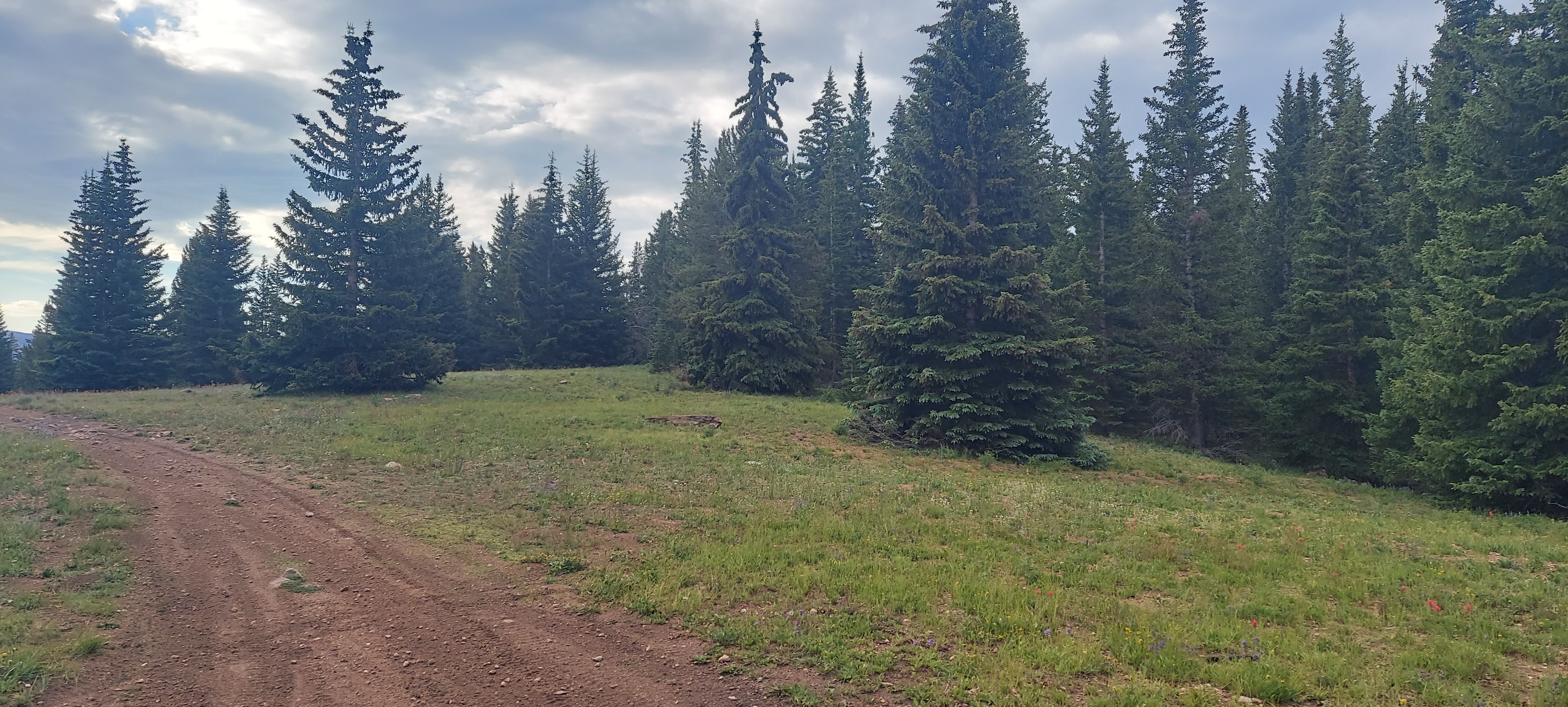
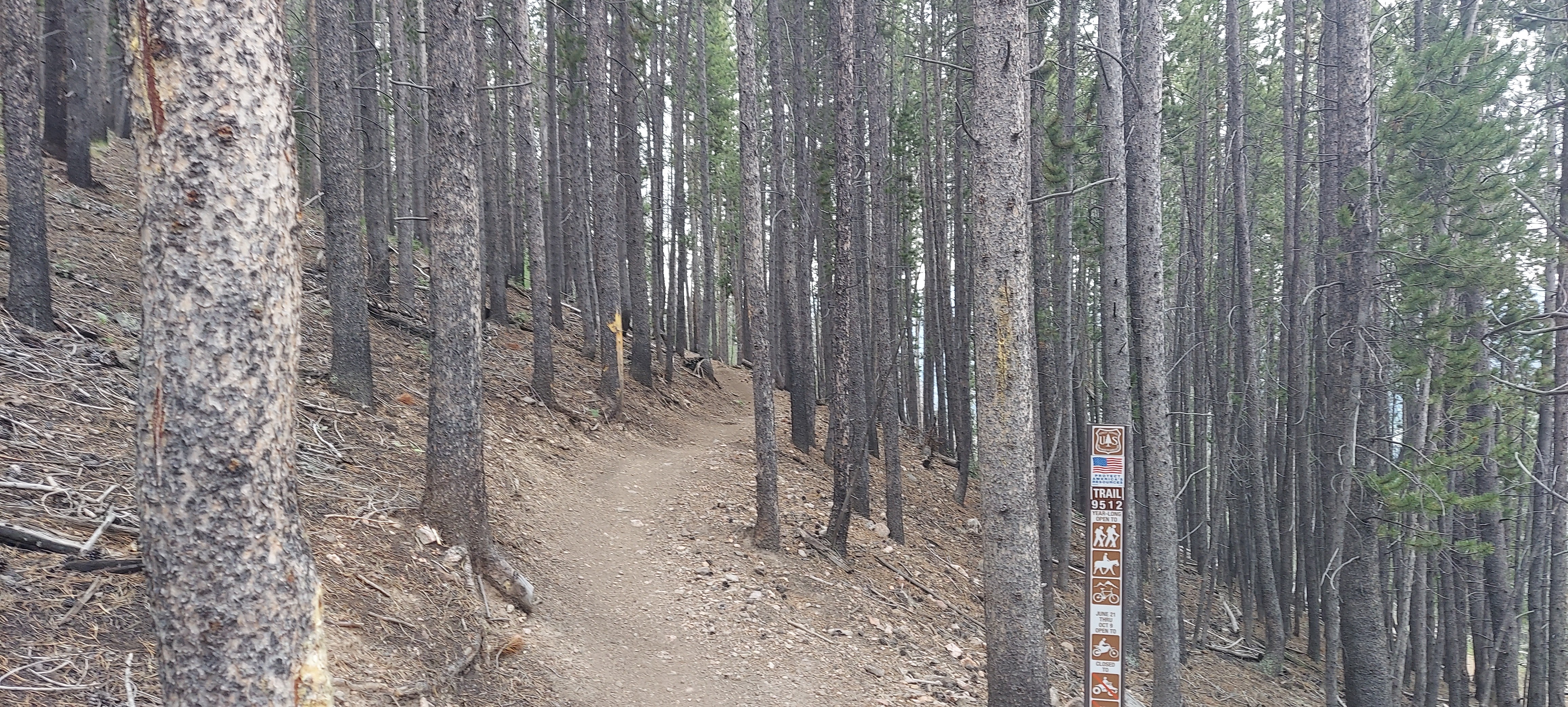
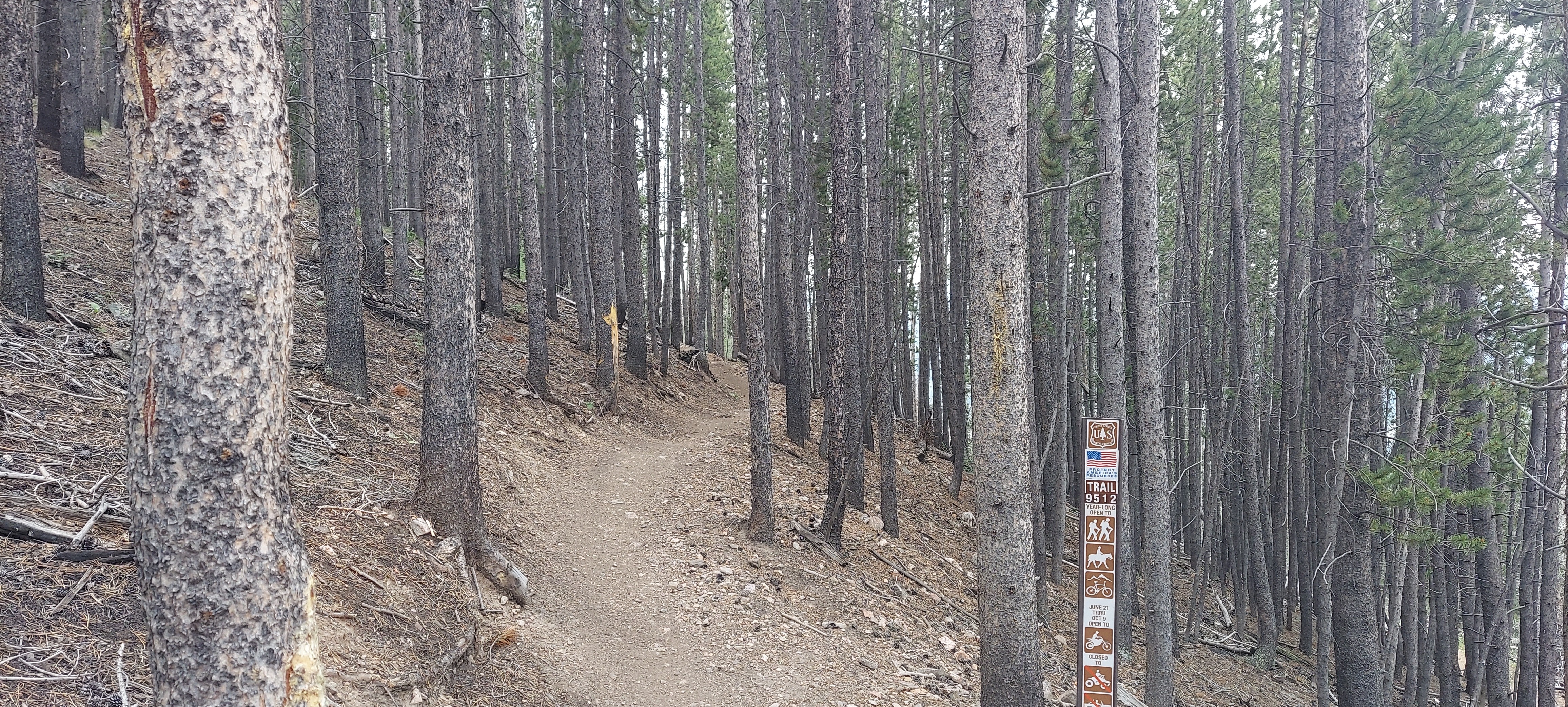
The tenderfoot mountain trail system is a mix of trails. The trails that go to the mountain summit are open to motorcycles only, not regular 4WD vehicles. They are narrow single track that wind up the mountain. I didn't find it very difficult at all on my Honda CRF300L, but it is fun. There are numerous smaller trails off the side that I didn't find time to explore.
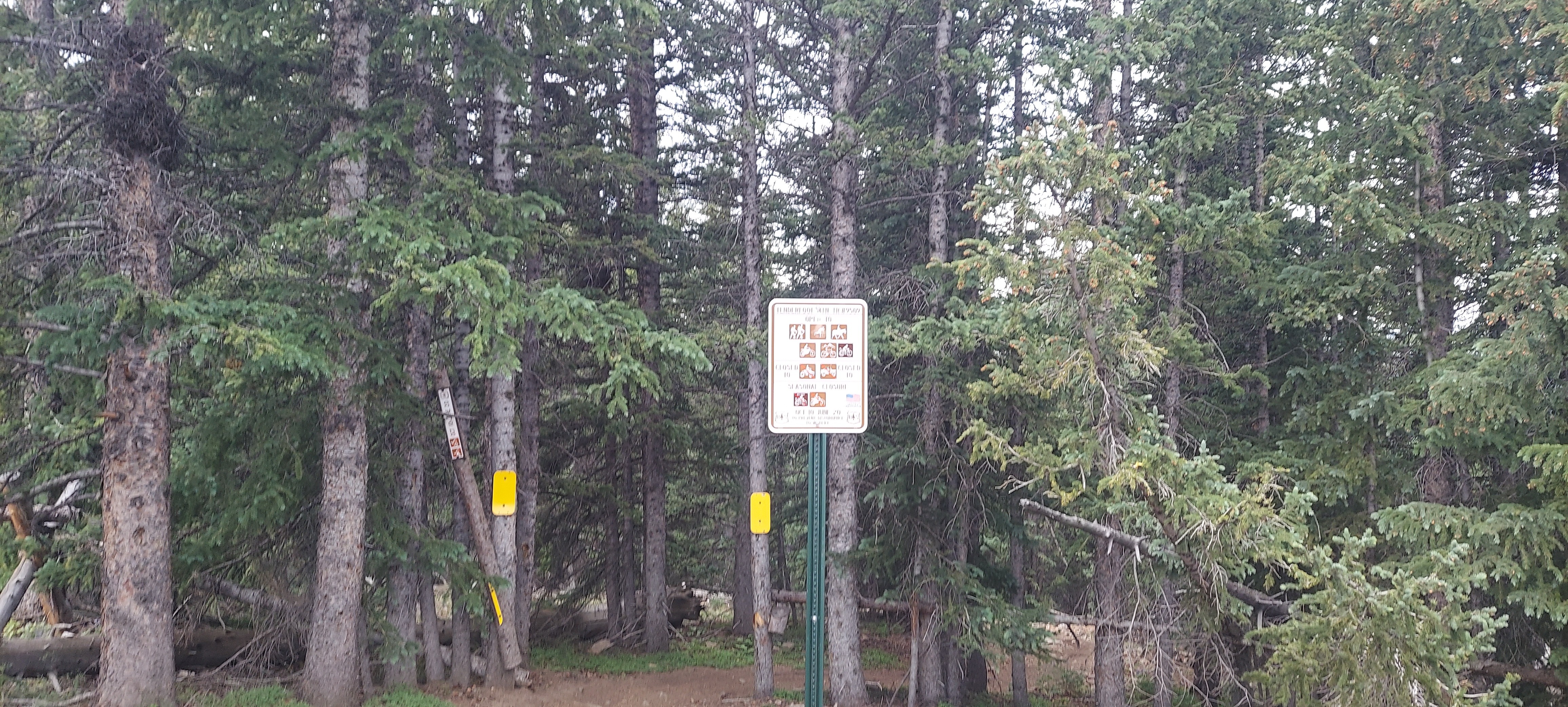
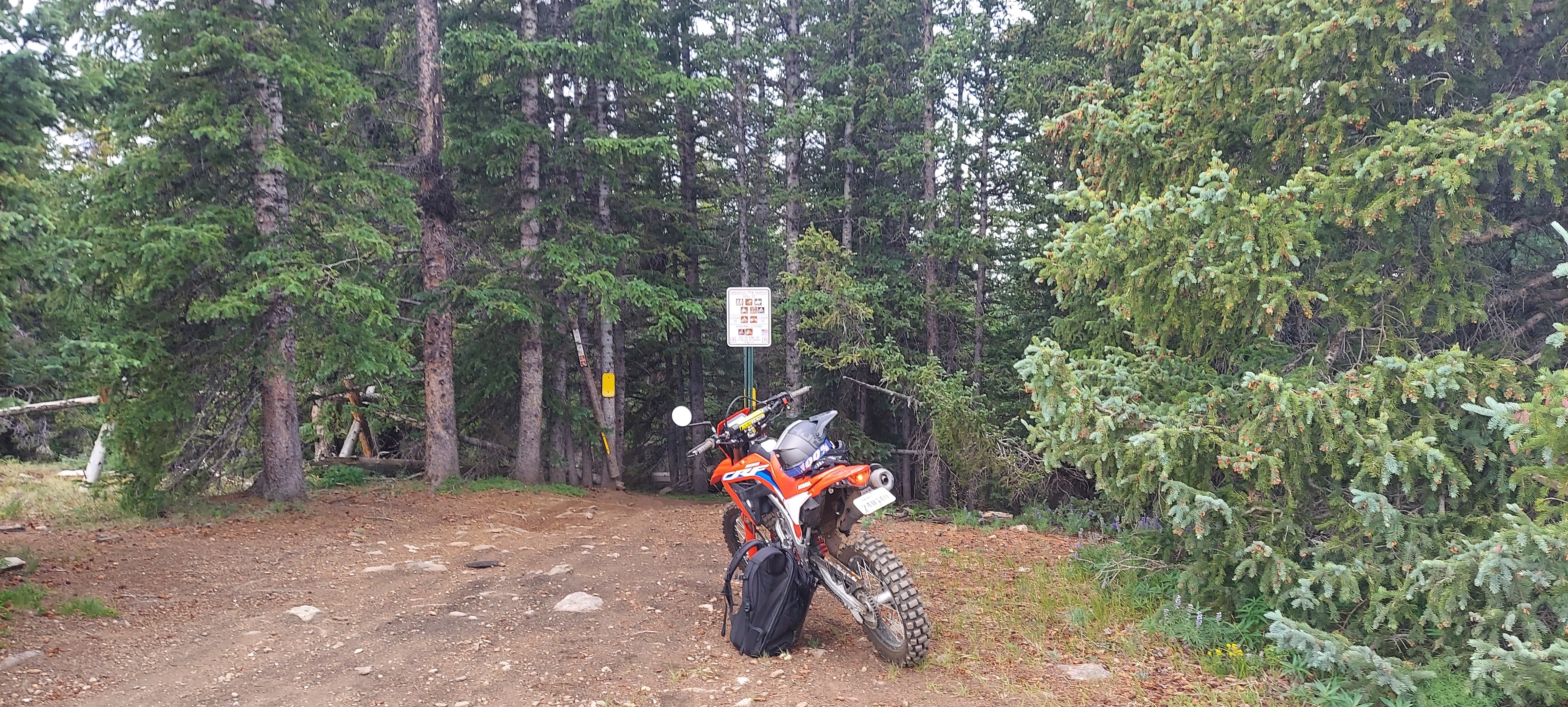
To access the trail system I started by going to the landfill. When you see the gate for the landfill with the scales, just ignore the signs and go to the right. Go past the shooting range and then enter the trail system. I saw a bunch of 4WD vehicles parked right past the sign so if you carry your vehicle there you can park off the trail it seems.
Links

.jpg)
Taken with samsung SM-A716U1
Timestamp: 2024:07:19 13:14:36
39.618529 N 105.989138972222 W
View on GeoHackAltitude 3103.0 meters
Taken with samsung SM-A716U1
Timestamp: 2024:07:19 13:14:36
39.618529 N 105.989138972222 W
View on GeoHackAltitude 3103.0 meters
Taken with samsung SM-A716U1
Timestamp: 2024:07:19 13:14:36
39.618529 N 105.989138972222 W
View on GeoHackAltitude 3103.0 meters
Taken with samsung SM-A716U1
Timestamp: 2024:07:19 13:14:36
39.618529 N 105.989138972222 W
View on GeoHackAltitude 3103.0 meters
Taken with samsung SM-A716U1
Timestamp: 2024:07:19 13:14:36
39.618529 N 105.989138972222 W
View on GeoHackAltitude 3103.0 meters
Taken with samsung SM-A716U1
Timestamp: 2024:07:19 13:29:31
39.6270689722222 N 105.996781972222 W
View on GeoHackAltitude 3347.5 meters
Taken with samsung SM-A716U1
Timestamp: 2024:07:19 13:29:31
39.6270689722222 N 105.996781972222 W
View on GeoHackAltitude 3347.5 meters
Taken with samsung SM-A716U1
39.6360682997222 N 106.004356599722 W
View on GeoHackAltitude 3478.0 meters
Taken with samsung SM-A716U1
39.6360682997222 N 106.004356599722 W
View on GeoHackAltitude 3478.0 meters
Taken with samsung SM-A716U1
39.6360682997222 N 106.004356599722 W
View on GeoHackAltitude 3478.0 meters
Taken with samsung SM-A716U1
39.6360682997222 N 106.004356599722 W
View on GeoHackAltitude 3478.0 meters
Taken with samsung SM-A716U1
39.6360682997222 N 106.004356599722 W
View on GeoHackAltitude 3478.0 meters
Taken with samsung SM-A716U1
39.6360682997222 N 106.004356599722 W
View on GeoHackAltitude 3478.0 meters
Taken with samsung SM-A716U1
Timestamp: 2024:07:19 13:38:50
39.636068 N 106.004356972222 W
View on GeoHackAltitude 3478.3 meters
Taken with samsung SM-A716U1
Timestamp: 2024:07:19 13:38:50
39.636068 N 106.004356972222 W
View on GeoHackAltitude 3478.3 meters
Taken with samsung SM-A716U1
Timestamp: 2024:07:19 13:39:42
39.636149 N 106.004276 W
View on GeoHackAltitude 3473.3 meters
Taken with samsung SM-A716U1
Timestamp: 2024:07:19 13:39:42
39.636149 N 106.004276 W
View on GeoHackAltitude 3473.3 meters